Kashgar and thereabouts
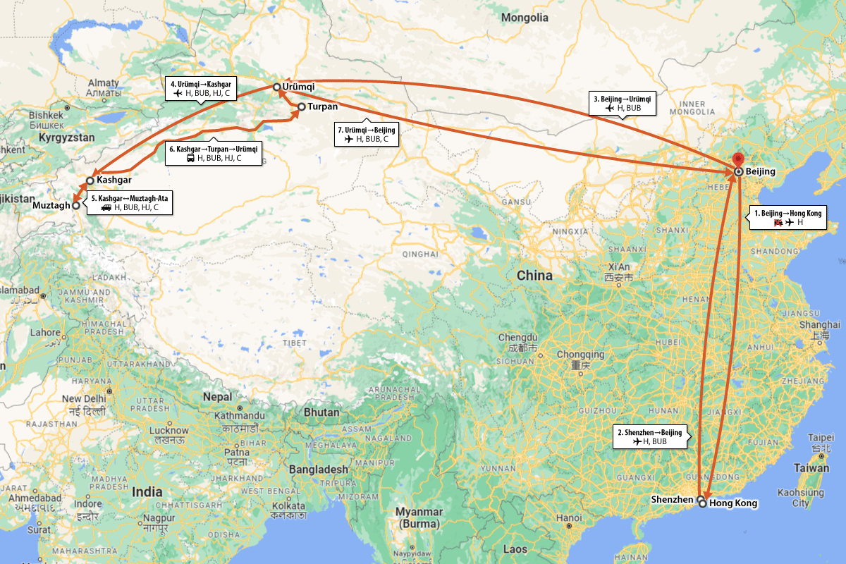
Photos from a big trip in August, 2007. (The ‘thereabouts’ is used rather loosely as the trip also included Hong Kong, Urumqi, Turpan, and Beijing.)
The idea for all of this started with an email from BigUncleB.
Hay bro you still keen to do some travel through China? If not that’s cool but I was wondering whether you would have a place for me to stay so I could come over and see some of Beijing? But I am still keen to see a lot of the country.A few more emails and we ended up with a rough plan that overlapped with some of HJ’s plans for Xinjiang-area travels.
- Overnight train to Hong Kong to meet up with BigUncleB
- Fly up to Beijing
- Fly up to Urumqi to meet HJ and C
- Fly out to Kashgar
- Trek to the basecamp of Mt. Muztagh-Ata, then back to Kashgar
- To Turpan and then back to Urumqi
- Farewell to HJ, back to Beijing
This post is mostly photos. Most of those photos were taken with my brick-like Canon G5 Powershot. Others are from BigUncleB’s 0.1 mega-pixel miniature camera. Some photos are low-res because we lost the originals, but also mainly because this trip took place in 2007.
1. Overnight train to Hong Kong to meet up with Big Uncle B
My train number is T97, scheduled to arrive at 13:05 on the 1st. I decided to take the train down to Hong Kong to save money and also because I kind of like going on trains.
The plan went off the rails (*ahem*) almost immediately because I missed the train in Beijing. (If you’ve noticed I’m occasionally anxious about being early for flights it’s precisely because of this incident.)
I wasn’t able to call or txt BigUncleB to let him know either. This was before data roaming and all the messaging apps, and I wasn’t sure if he’d see an email in time. And then we’d miss linking up, and the plan would be fairly well ruined.
But after a hastily bought flight ticket, and then a bit of a rush to meet the train I was supposed be on, and then meeting BigUncleB meeting that same train, the trip was back on track.
So much for saving money by taking the train down to Hong Kong.
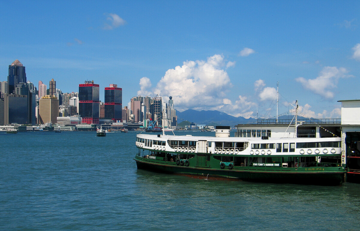
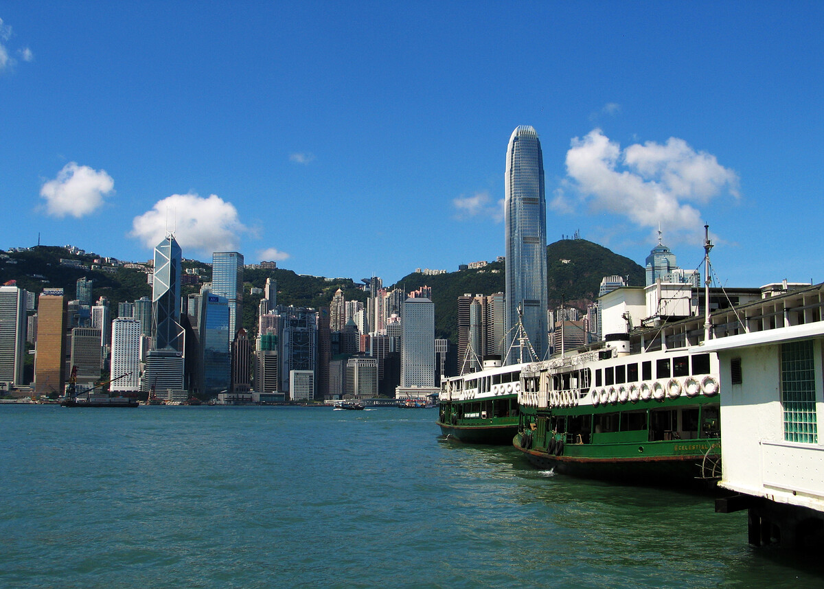
In Hong Kong we started with a beer in the first pub we passed, made a quick visit to a visa agent, and then had a few days to tour about while we waited for BigUncleB’s China visa to come through.
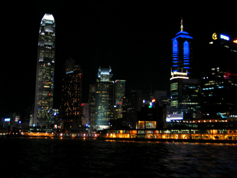
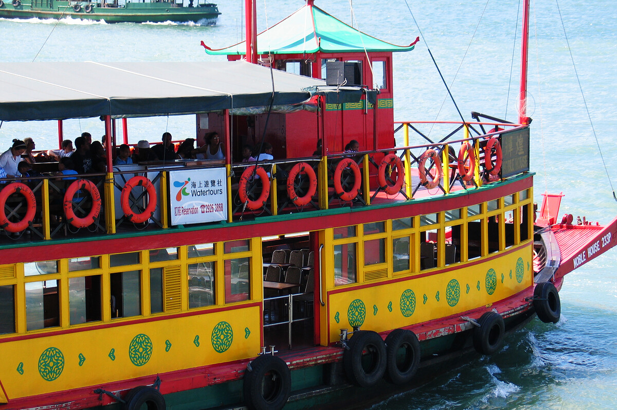
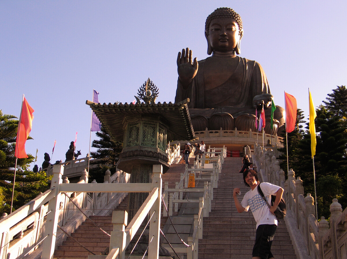
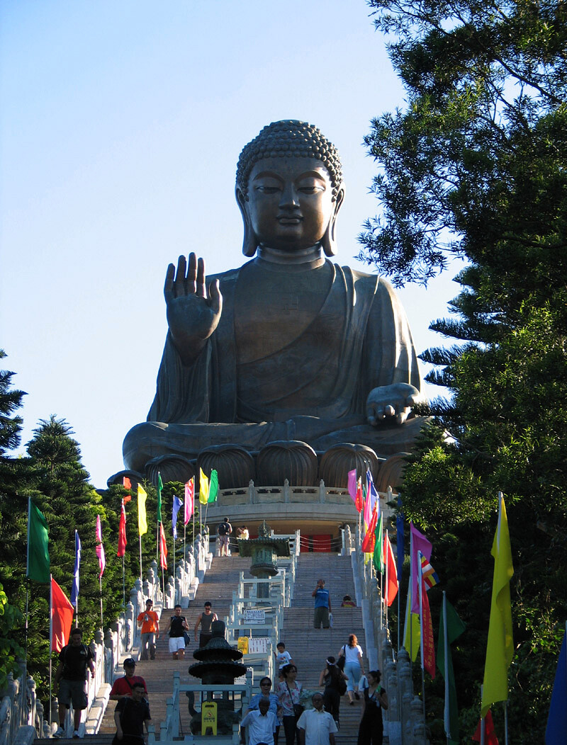
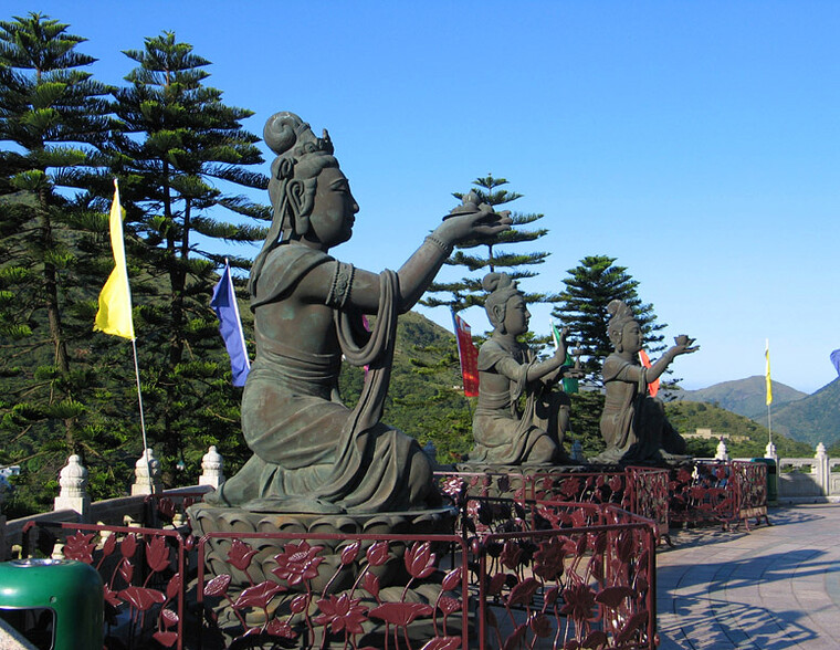
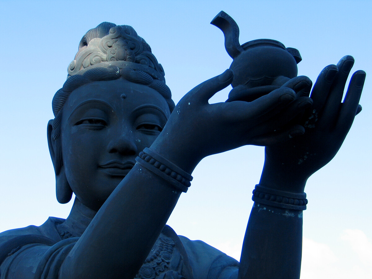
We were getting the ferry to see the Tiantan Buddha on Lantau Island.

2. Fly up to Beijing
There isn’t much to say here—we took the ferry to the border crossing at Shenzhen, a bus to the airport, and then a flight to Beijing.
In Beijing I had to work a bit, BigUncleB did a bit of touring about, and then …
3. Fly up to Ürümqi to meet HJ and C
HJ and C had been trekking about the Bogda Mountains, and would be in Ürümqi by the time we flew up.
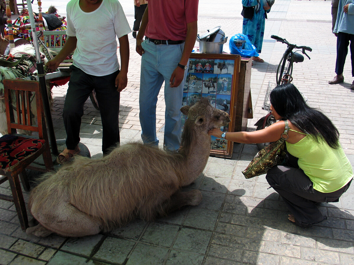
I didn’t get a lot of photos from Ürümqi, and I accidentally deleted lost most of what I did get. We visited the Ürümqi bazaar, and I also have extremely vivid memories of getting a good telling-off by supermarket ladies for trying to order pork dumplings for BigUncleB.
Here’s how you don’t do it.
“Can we buy some baozi please?”
“What kind do you want.”
(Aside to BigUncleB “Maybe pork?” Because that’s what he’d been eating in Beijing, I promise!)
“Pork baozi please, four of them.”
“WE DON’T EAT PORK HERE” (Followed by more scolding, unfortunately untranslatable)
I should have known. I’m still going to blame BigUncleB for the order of haram baozi. I mean, I’m vegetarian, I would have ordered cabbage or mushroom-with-egg or something like that. (There’s more to come on being vegetarian in Xinjiang.)
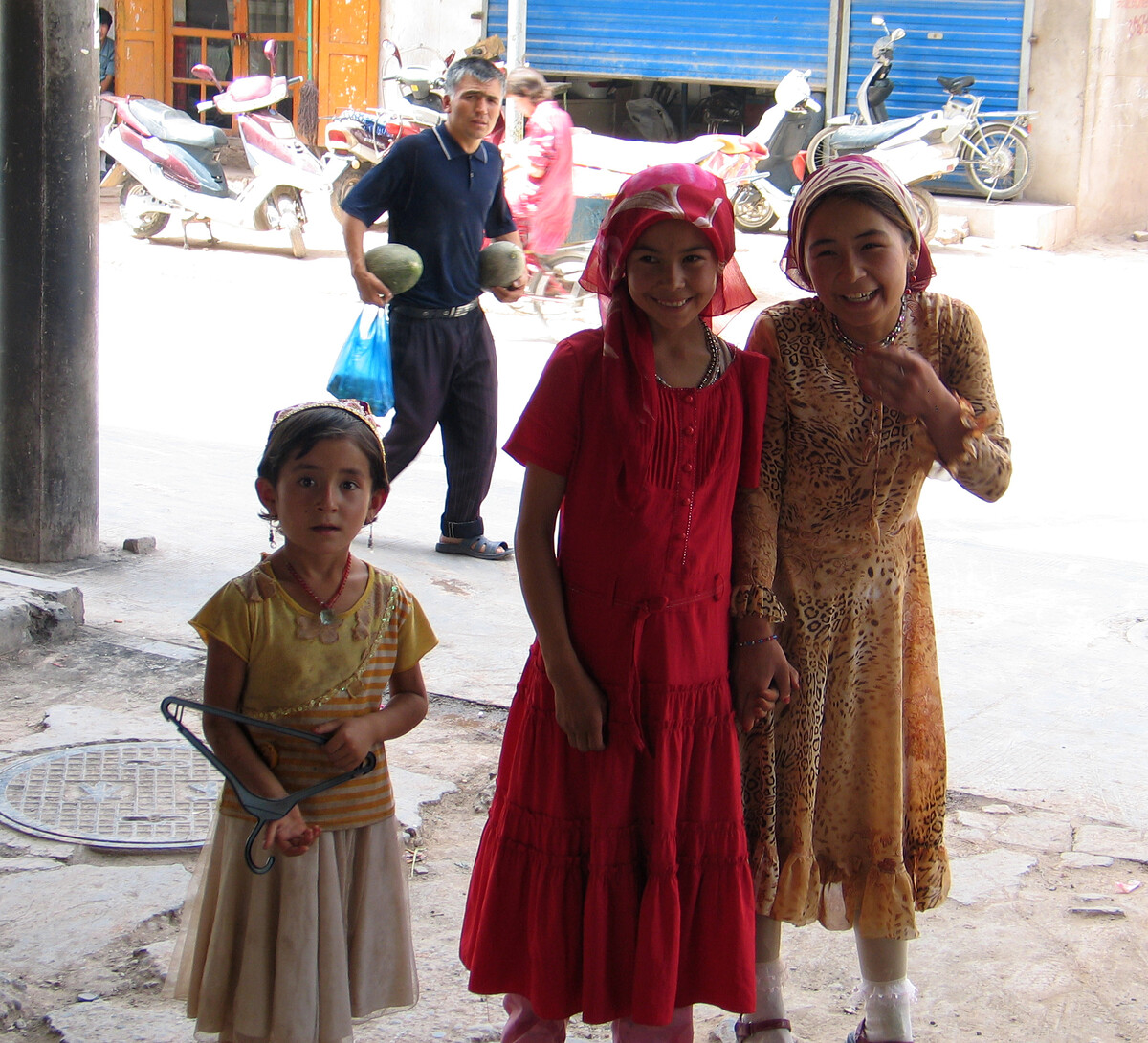
4. Fly out to Kashgar
I wrote a little bit about Kashgar and some of the sights for a Beijing Hikers trip named “Silk Road: Korla to Kashgar“.
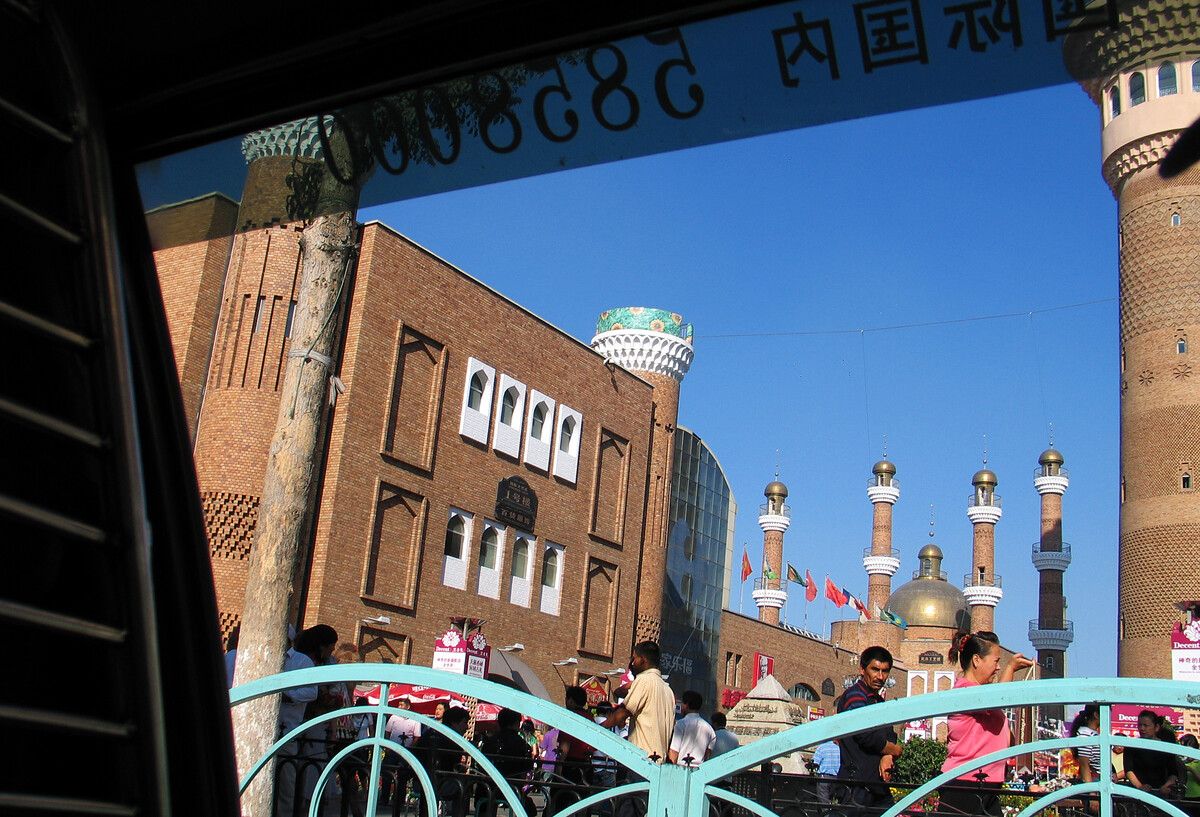
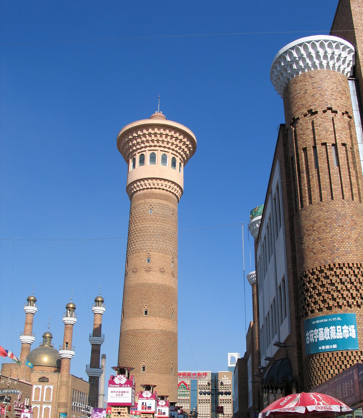
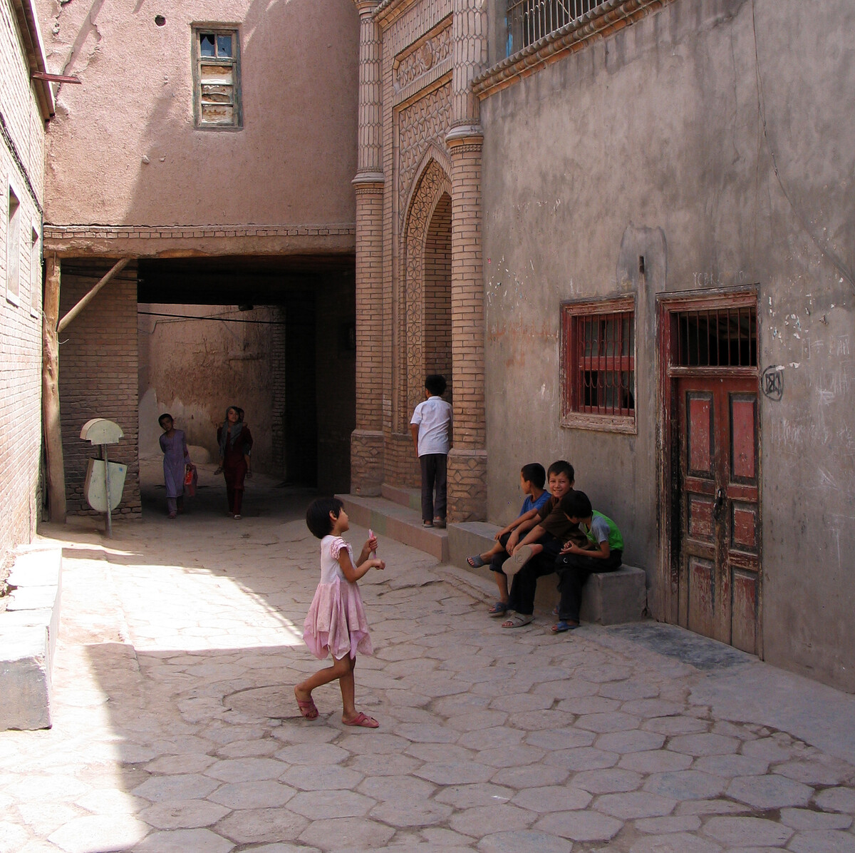
Kashgar is an ancient city in the far west of China, with many historically interesting sites and a strong Muslim influence from the large Uyghur community.
The earliest recorded mention of Kashgar can be found in Han Dynasty records that date back to 125 BC. At that point it was already one of the many stops on the Northern Silk Road, and, despite wars and battles, has been populated ever since.
Read more about Kasghar on Wikipedia
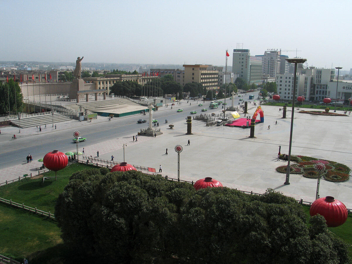
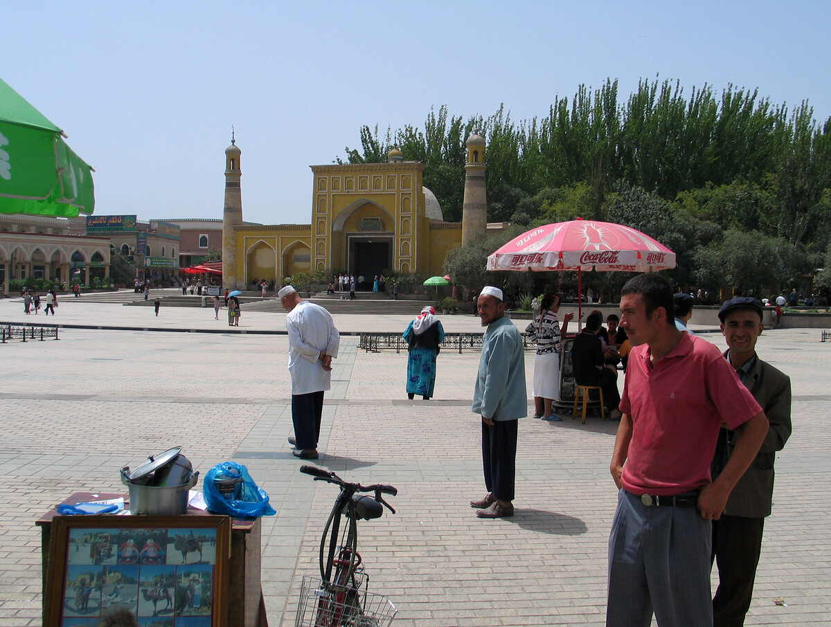
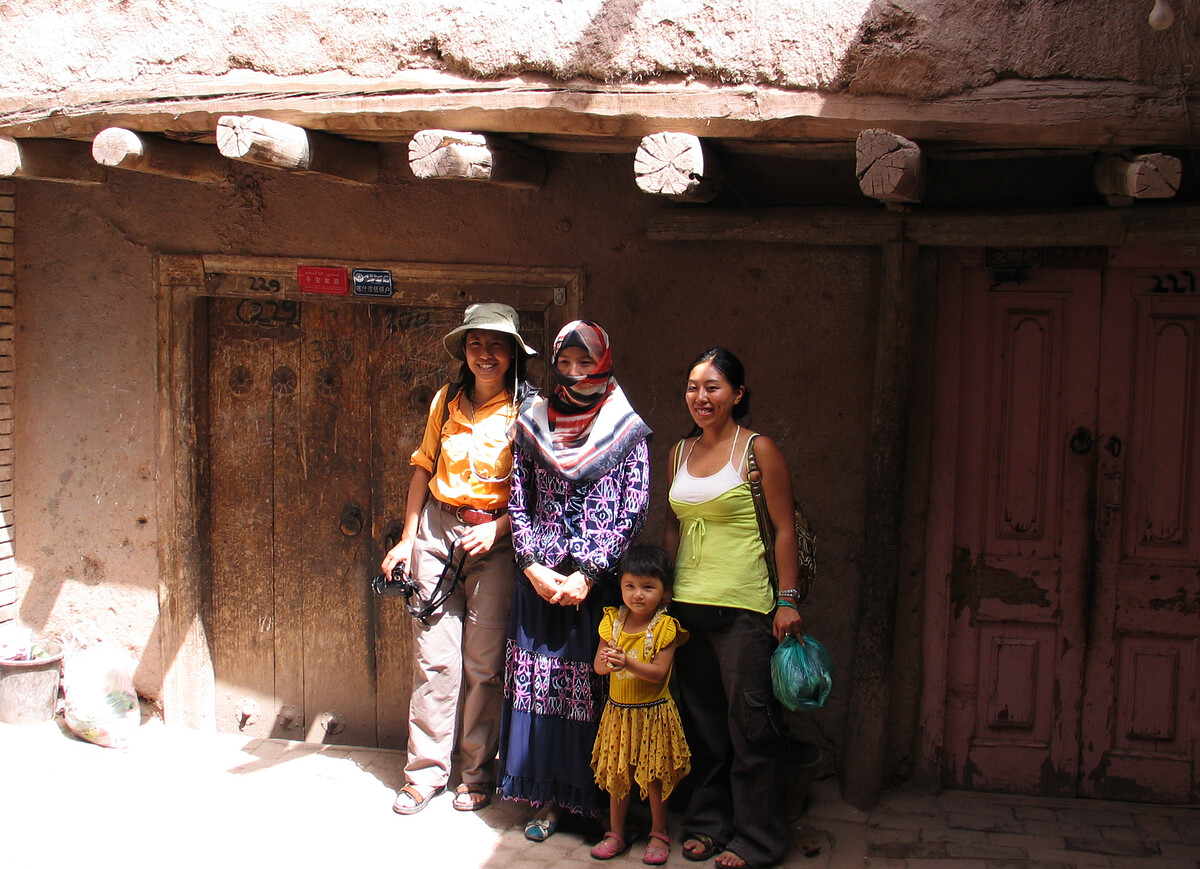
I was also interested in Kashgar for its role in what’s called “the Great Game“. We’d actually planned to stay in the old Russian Consulate here (since converted to a hotel), but on arrival HJ and C deemed it too shabby. We switched to a modern hotel by the big square.
Also,
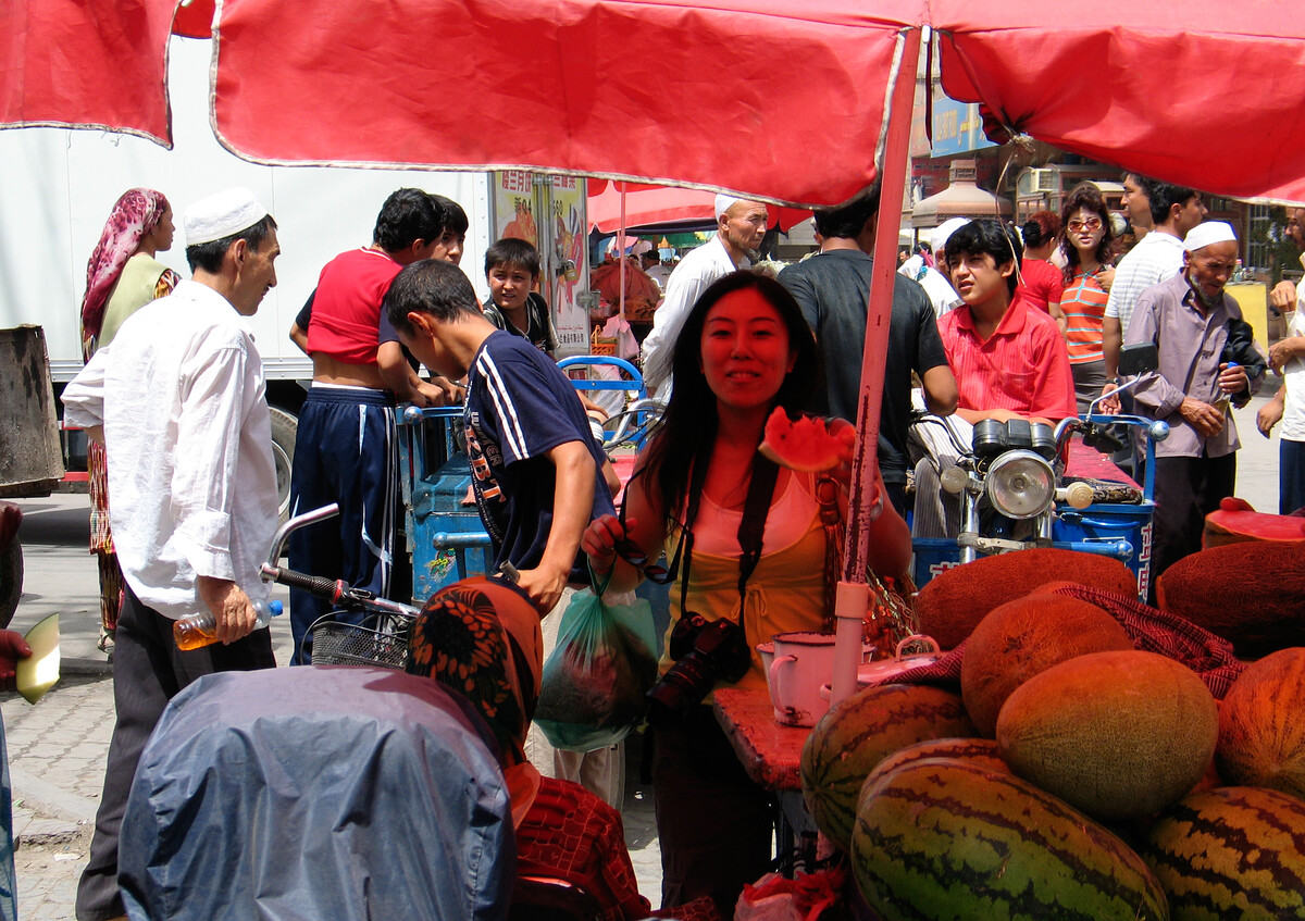
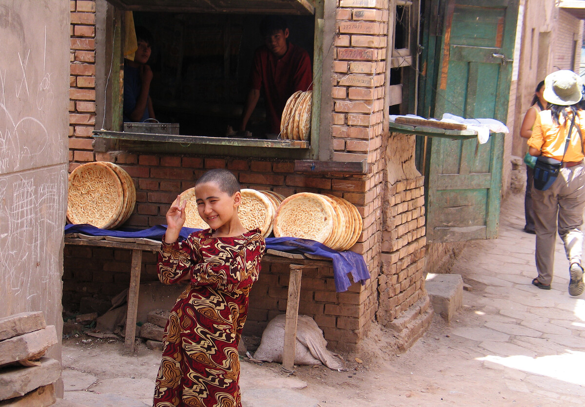
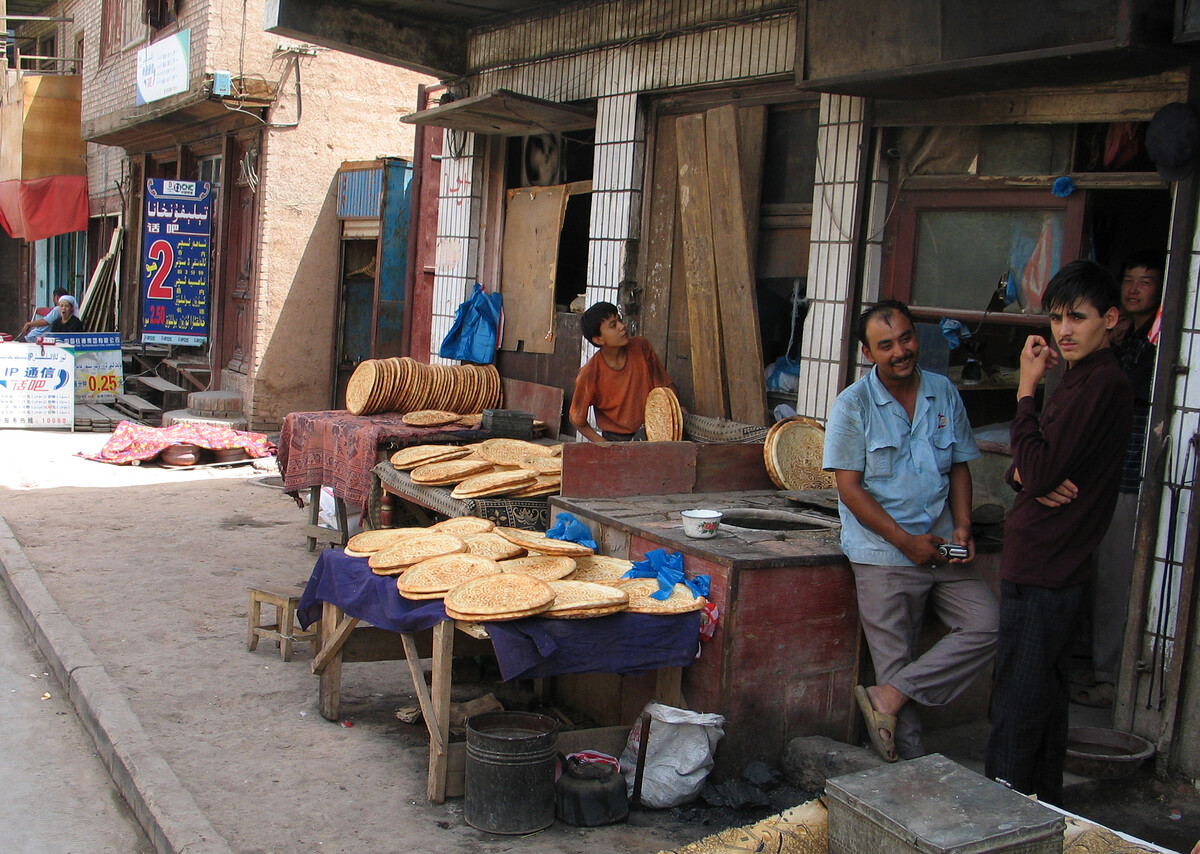
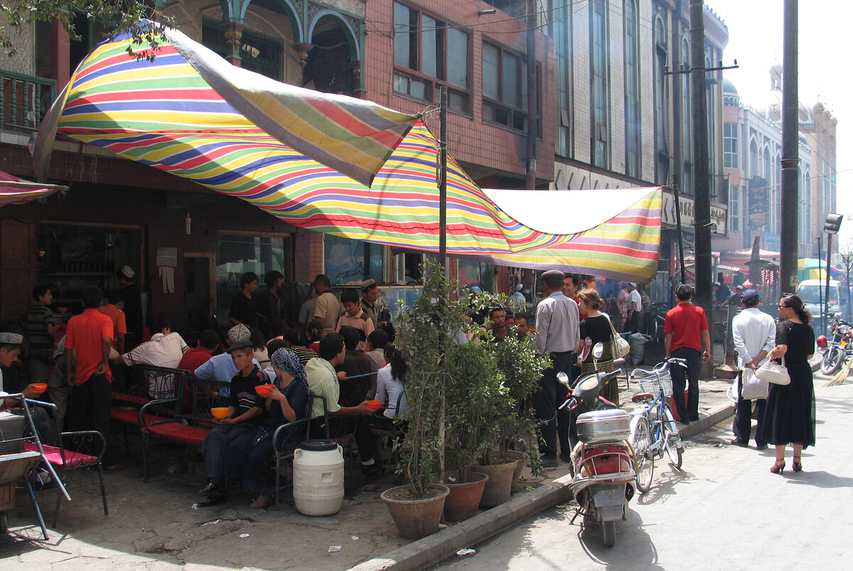
The local culture doesn’t really do vegetarian, and us attempting to use Mandarin to order vegetarian noodles from restauranteurs whose first language was Uyghur was how I got a bowl of just noodles, no toppings, and plenty of strange looks from the waiters, cooks, and neighbouring tables.
It went a bit like this:
“Do you have vege noodles?”
(What)
“Errr, noodles with no meat?”
(What)
Some further attempts at explaining …
(An “Are you kidding me?” look, and a shrug)
Then the waiter brought out literally just noodles in a bowl. Cooked noodles, at least.
“Err, how about some more naan bread then?”

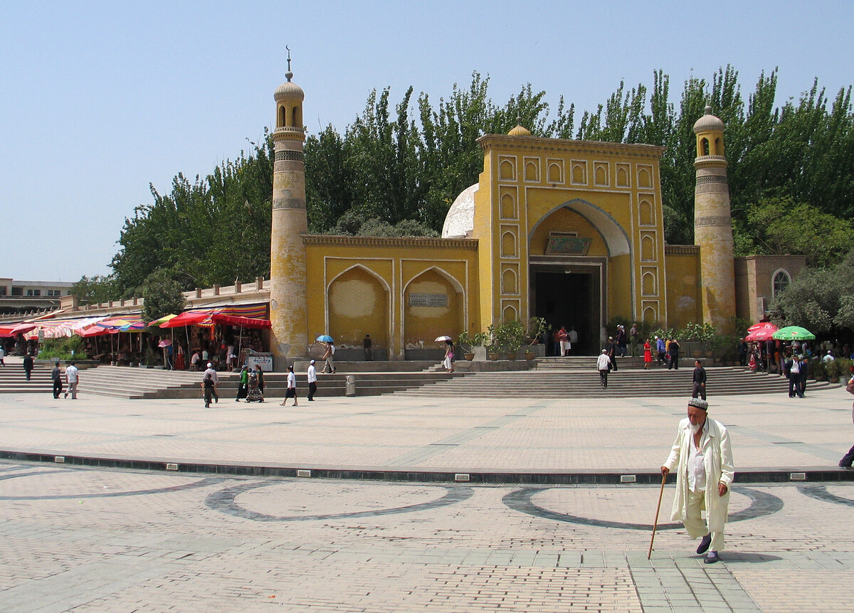
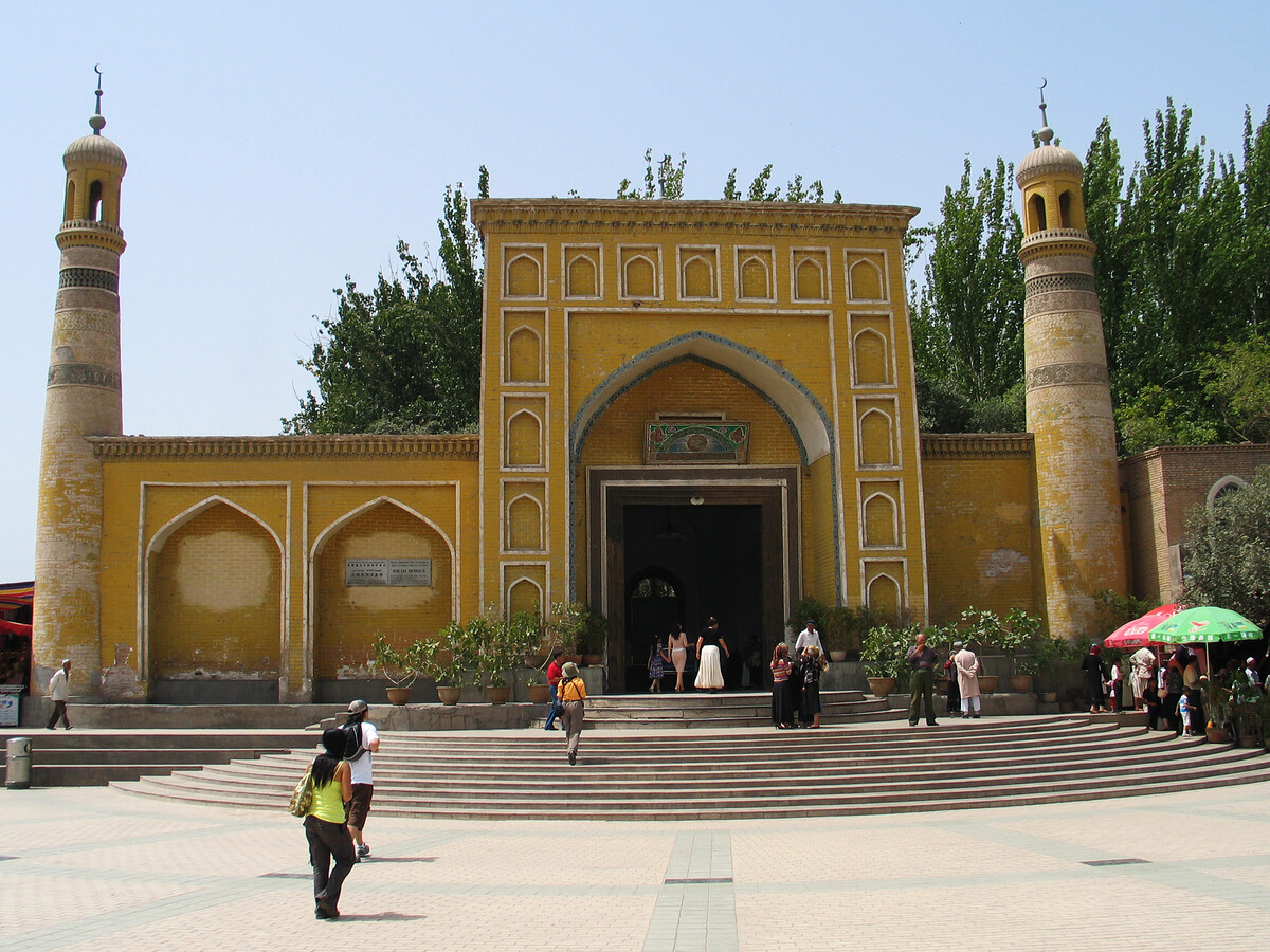
With a history that stretches back until at least the 14th century, the Id Kah Mosque is an active mosque and perhaps the largest in China. (Note: this was written around 2007.)
See Wikipedia for more on the Id Kah mosque
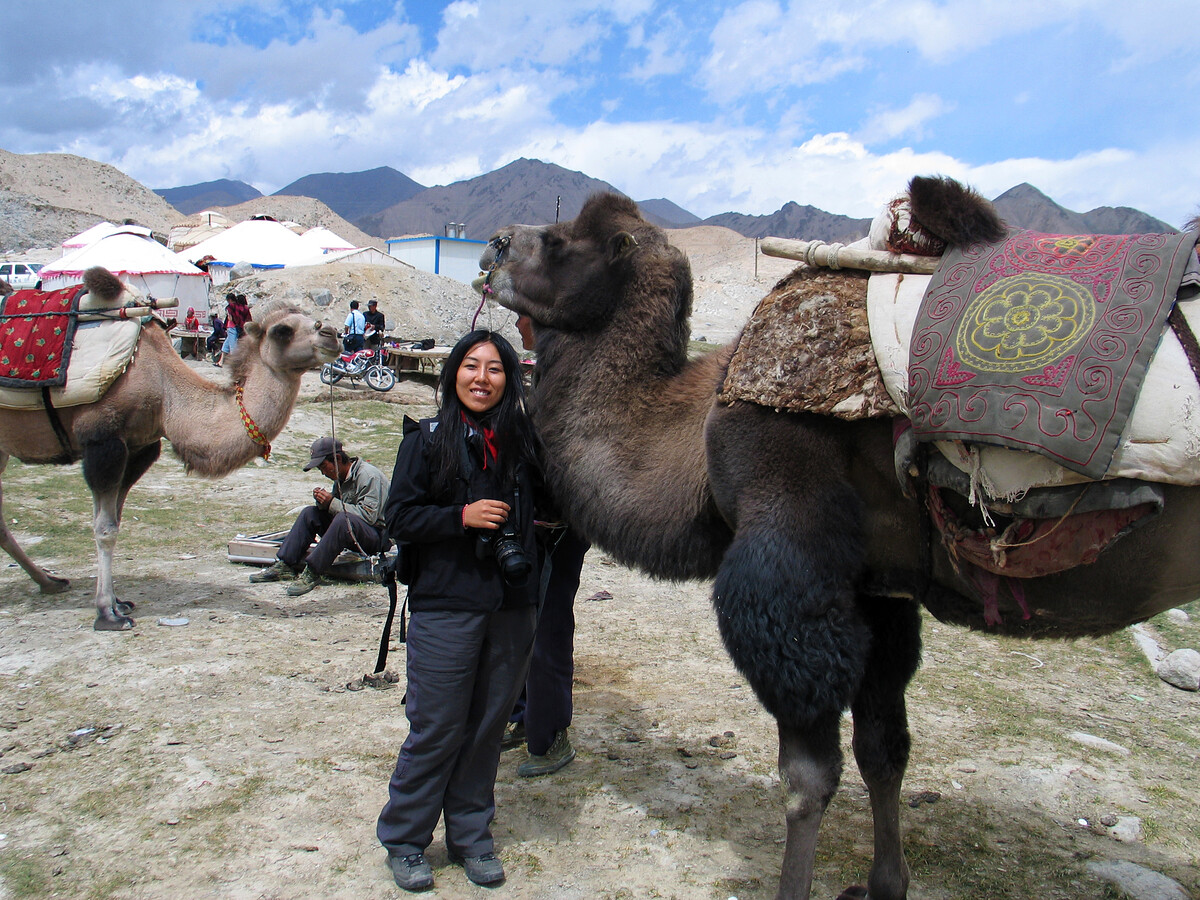
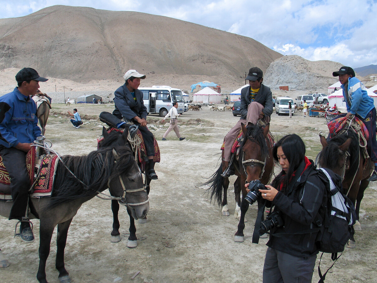
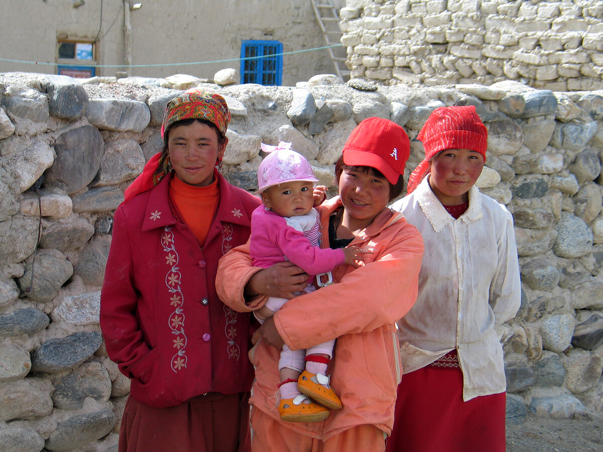
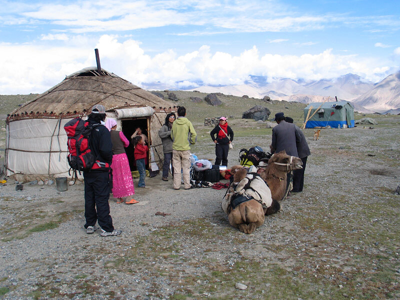
5. Trek to the basecamp of Mt. Muztagh-Ata
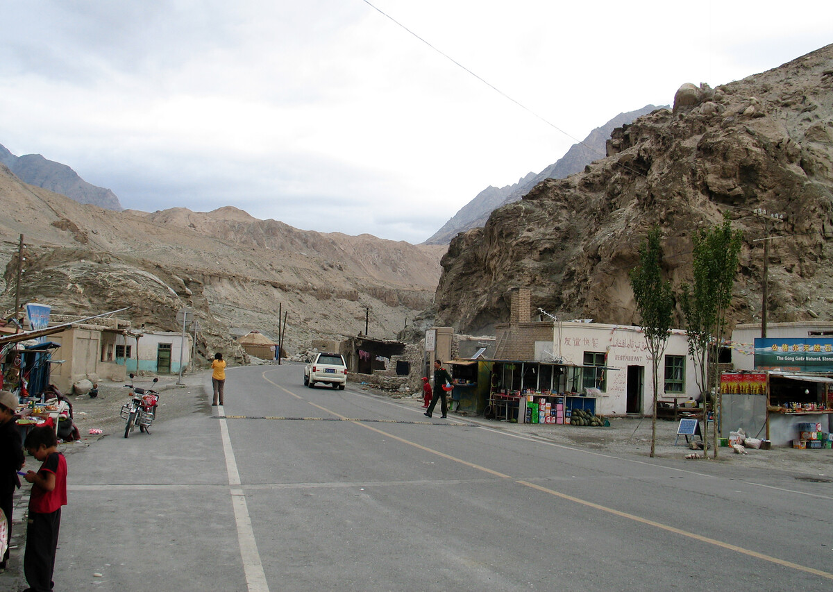
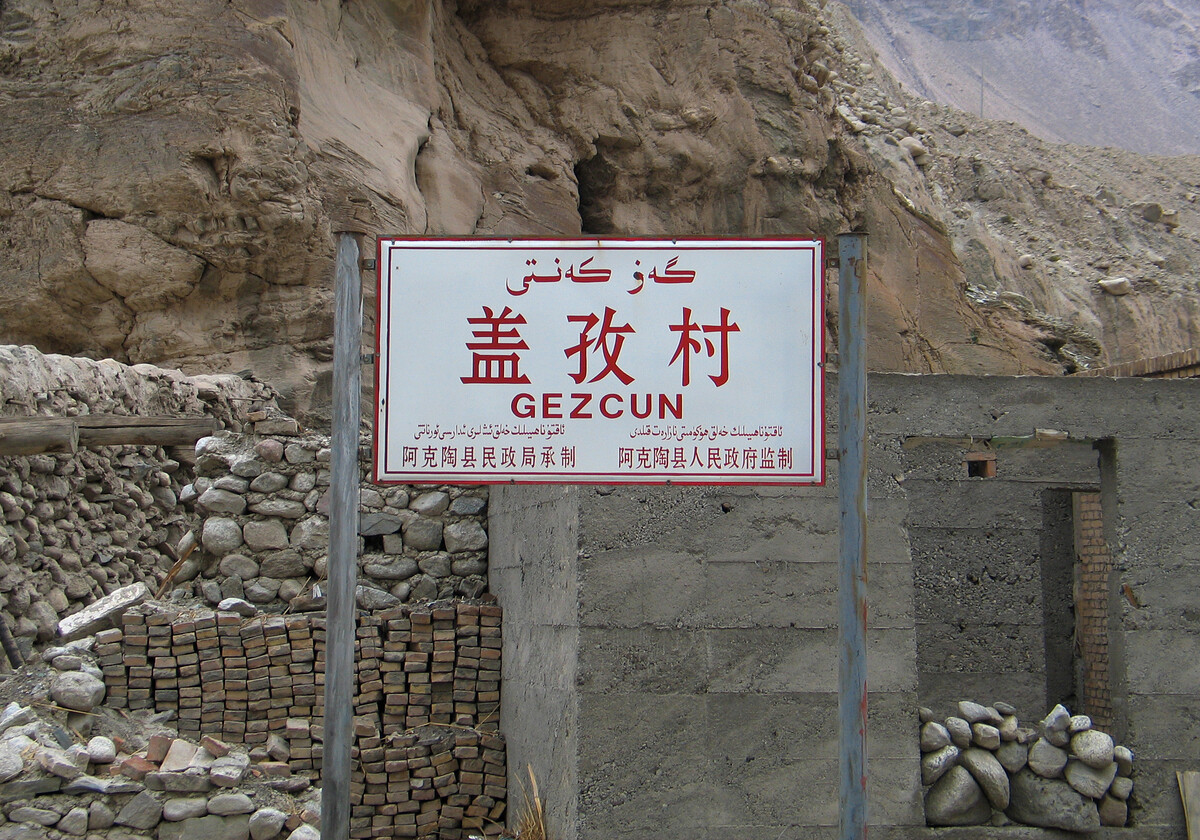
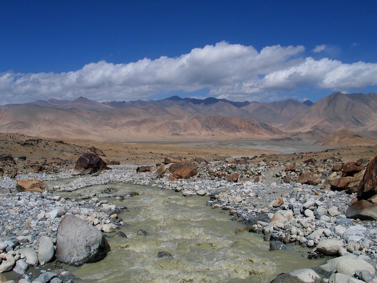
We drove south on the Karakorum Highway, which joins China and Pakistan and eventually turns into one of the highest paved roads in the world at the 4,714m Khunjerab Pass.
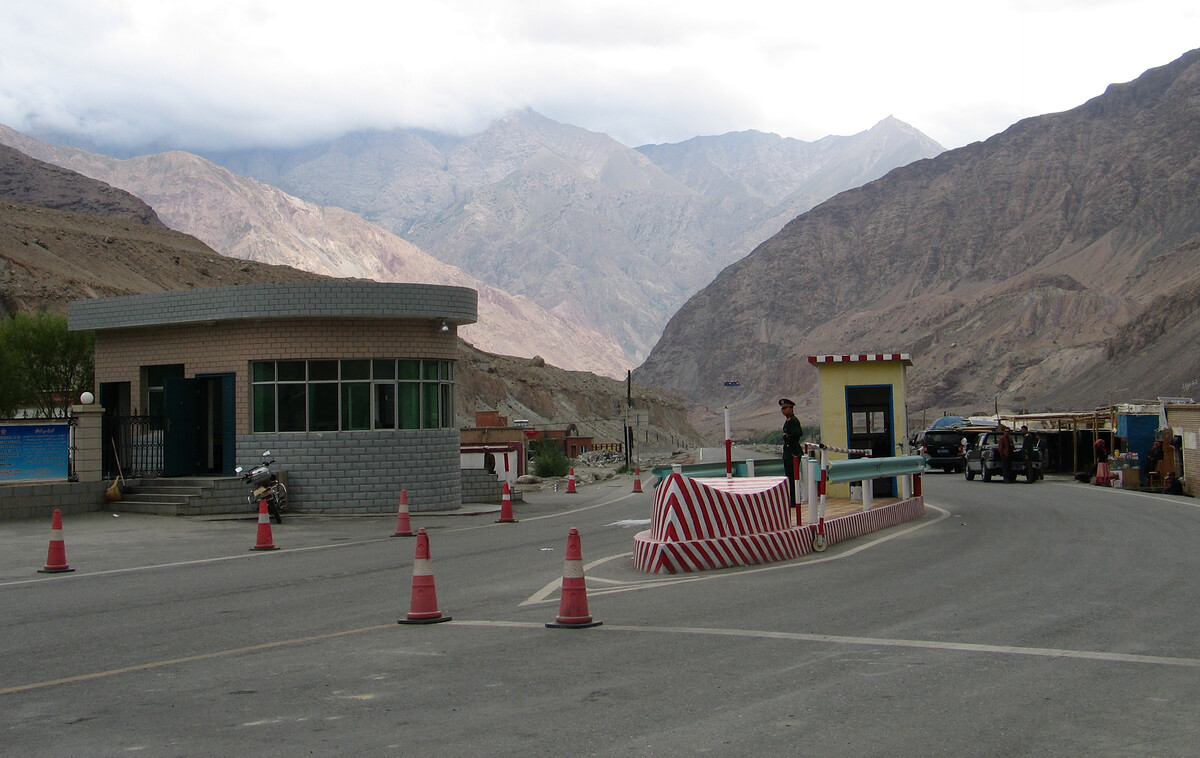
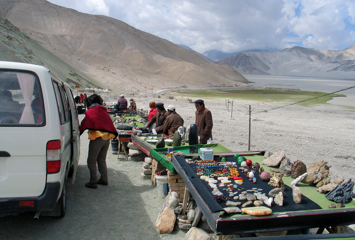
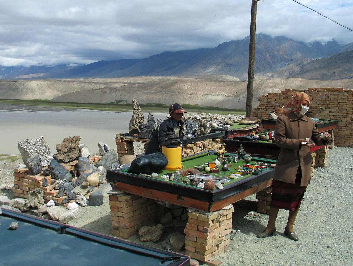
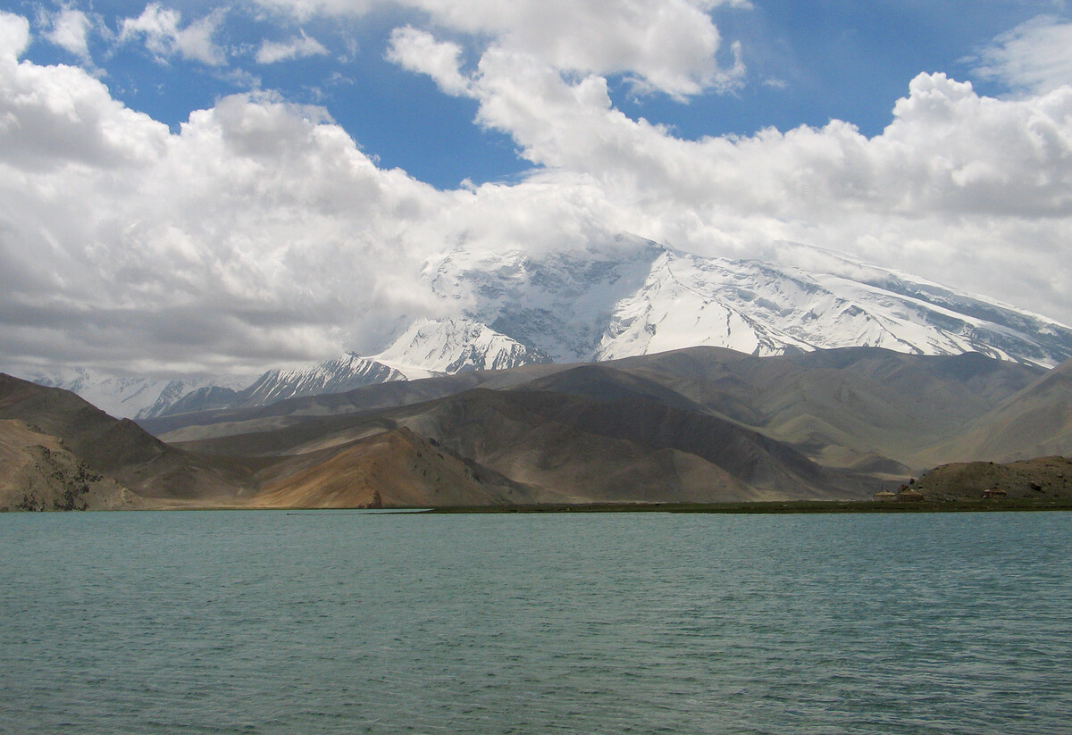
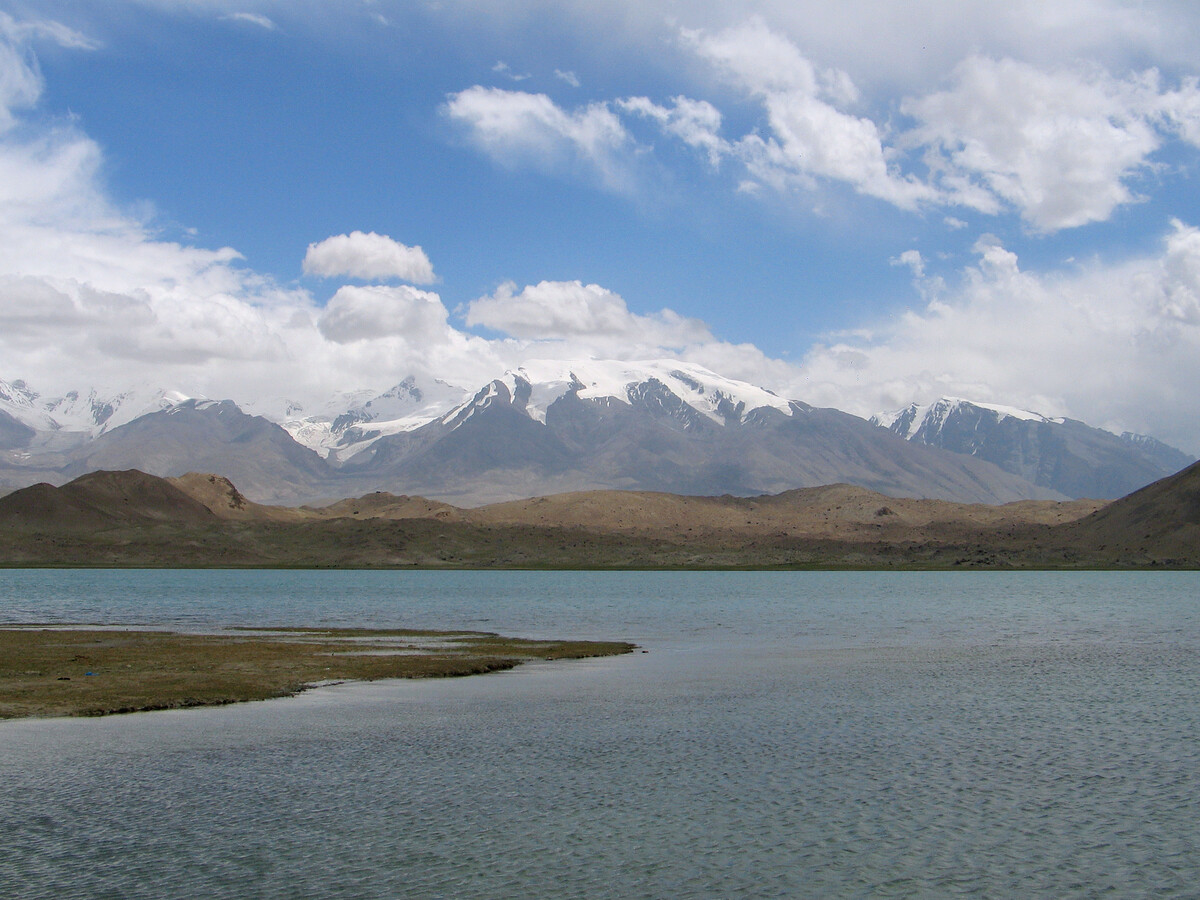
On the way to the starting point of our trek we passed the checkpoint at Gez, the stalls by Baisha Lake, and Lake Karakul.

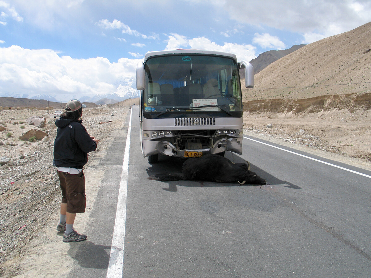
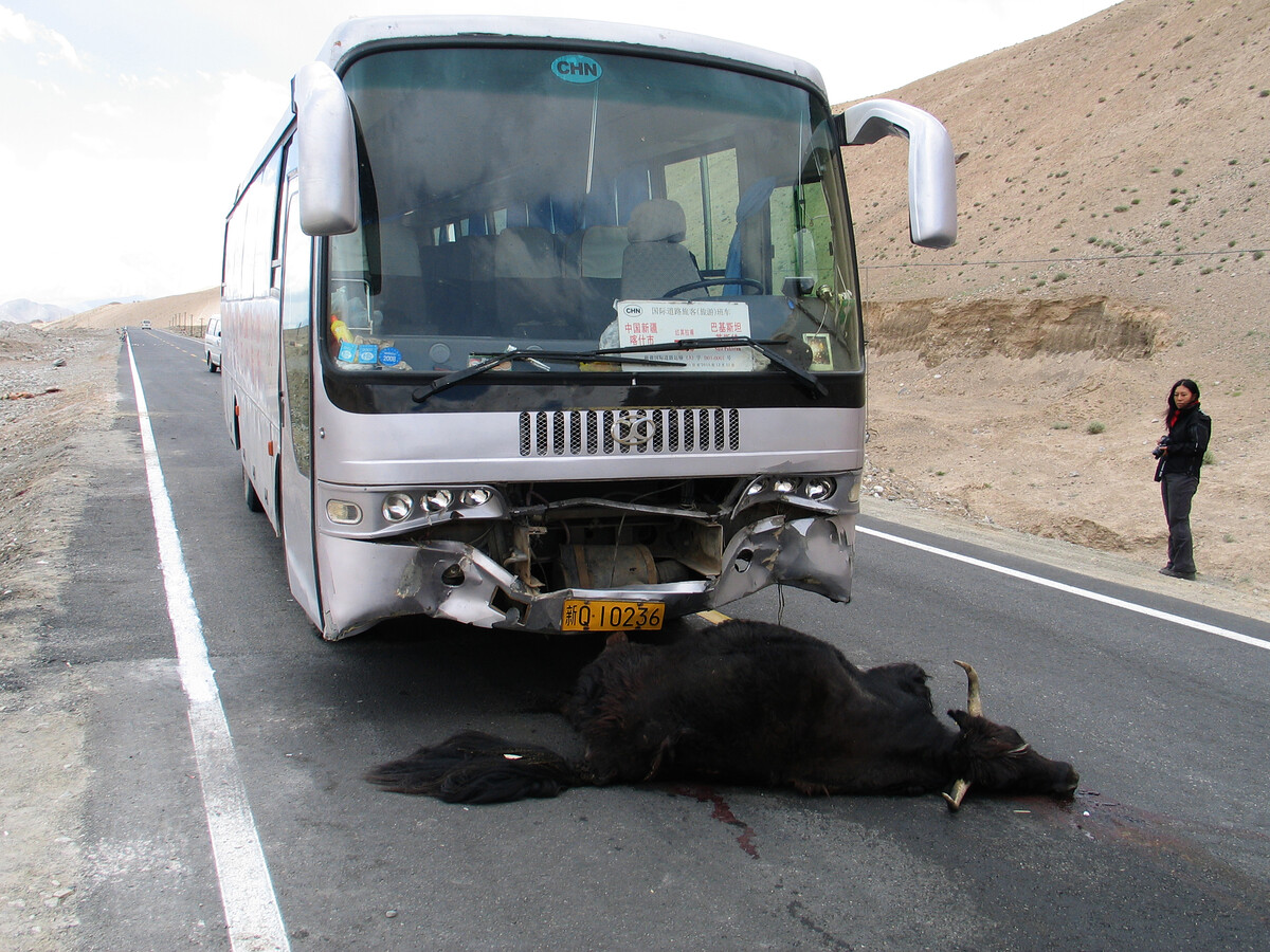
We found another cow/yak-thing in the gutter a bit further up the road, being butchered – halal-style – by the passengers of the bus.
The sign in the front window of the bus indicates it was coming down the Karakorum Highway from Sust in Pakistan (the first town on that side of the border), and going all the way to Kashgar.
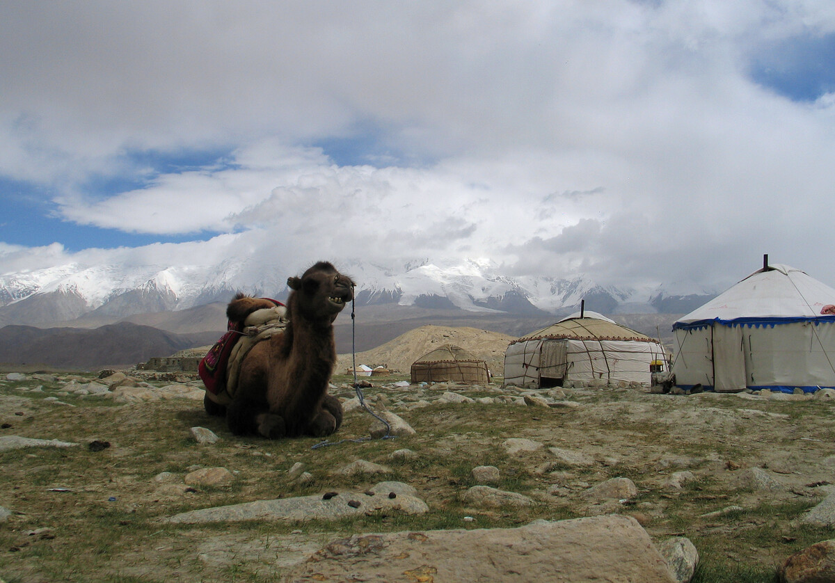
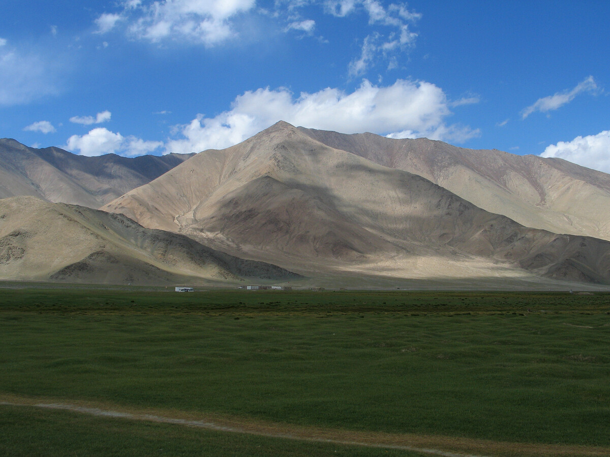
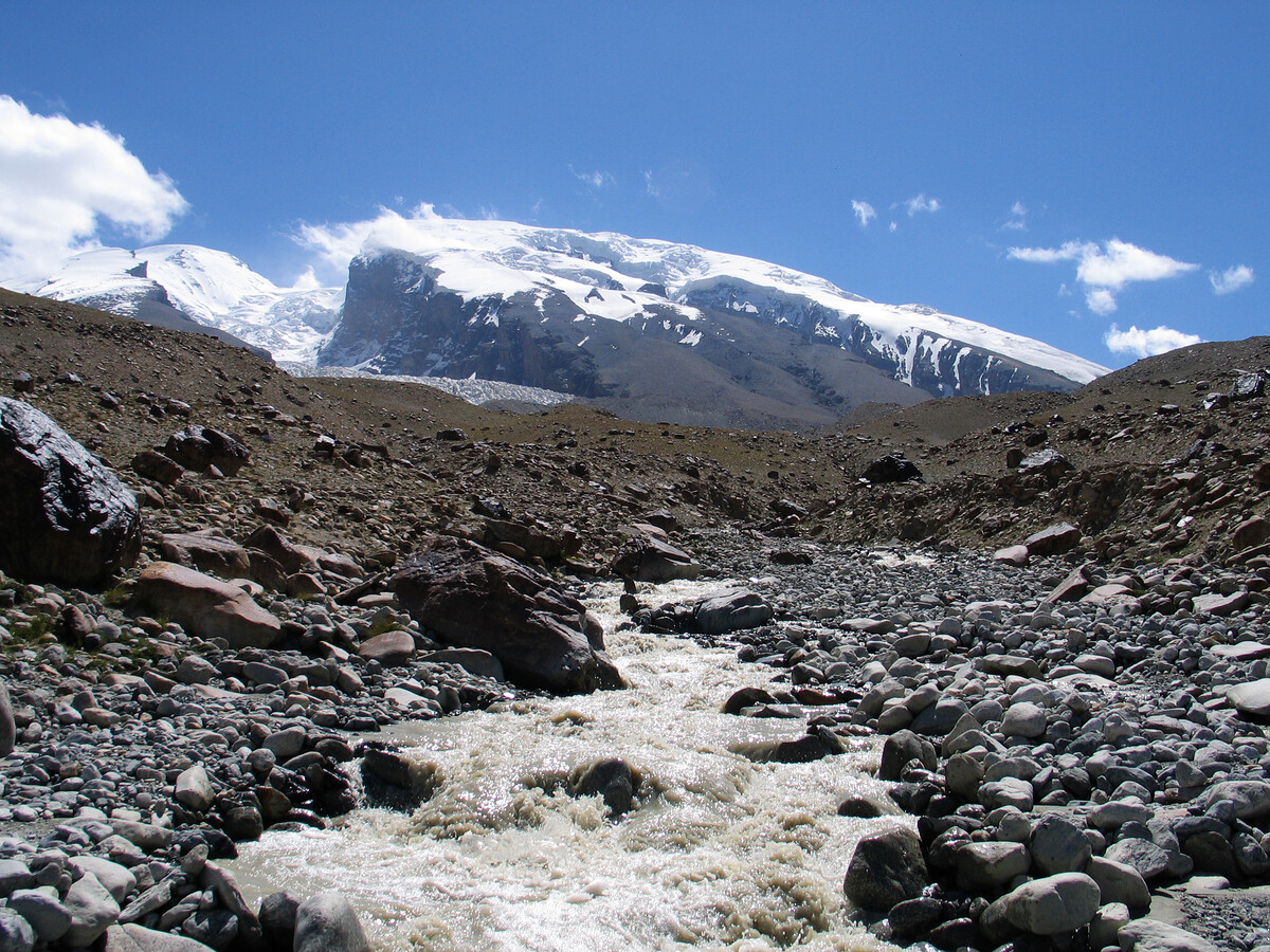
Lake Karakul, Muztagh-Ata, and thereabouts
I wrote about Lake Karakul and thereabouts for a Beijing Hikers trip called “Kashgar and Lake Karakul“.
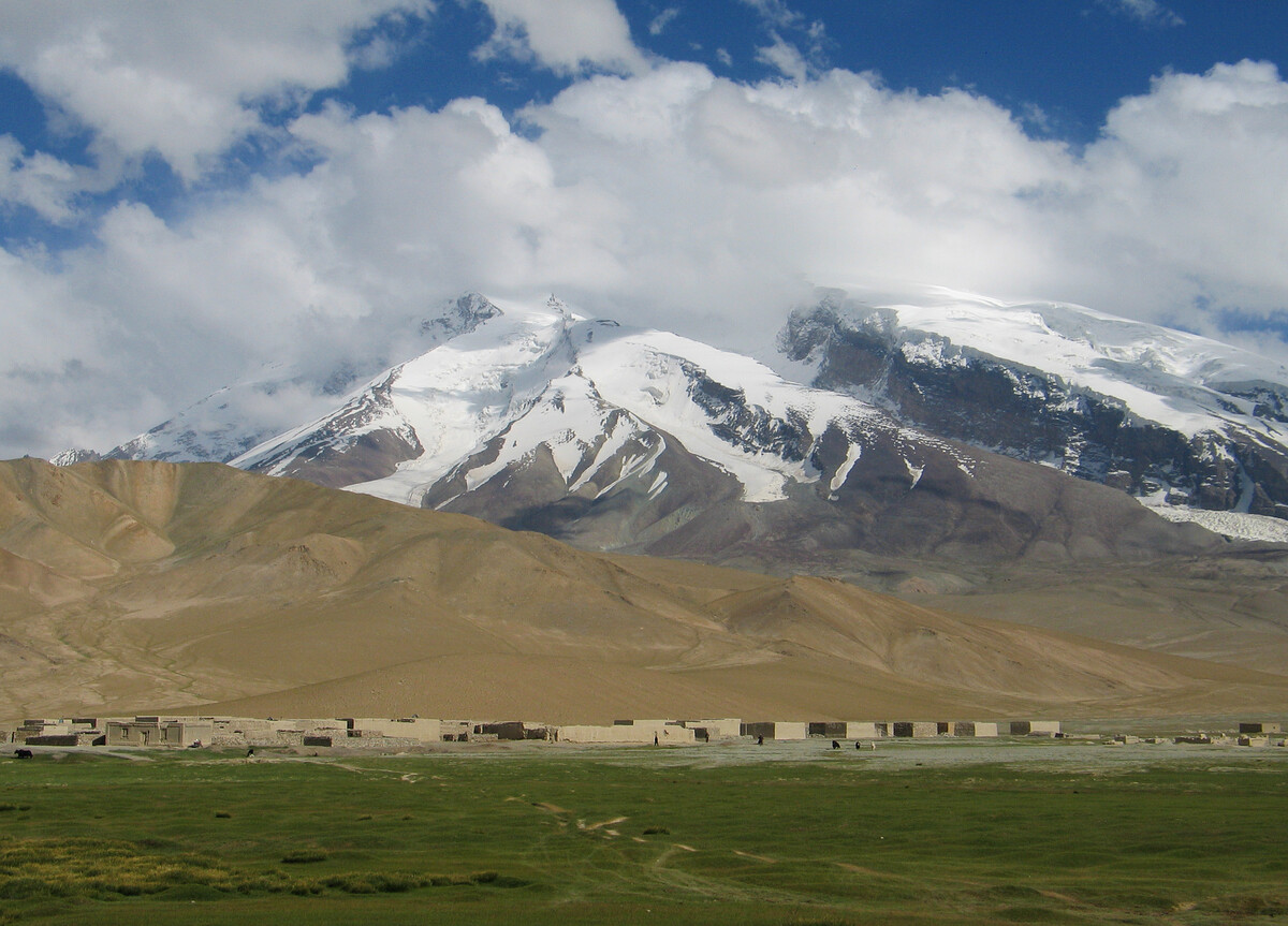
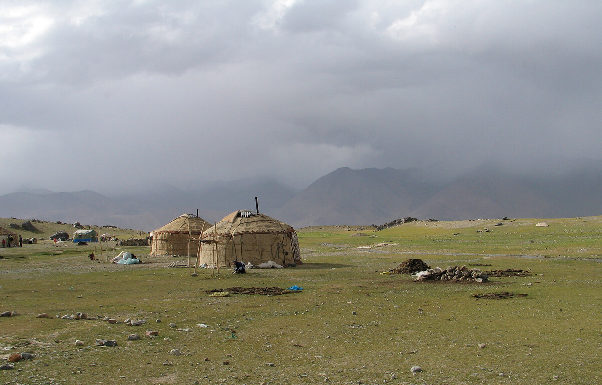
The tall and snowcapped mountains in this remote and relatively unpopulated area form a superb backdrop for our high-altitude hike between small settlements and seasonal nomad camps.
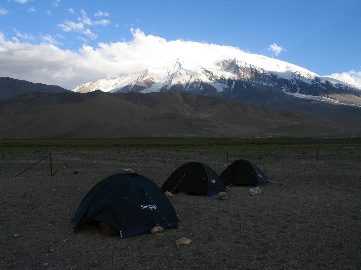
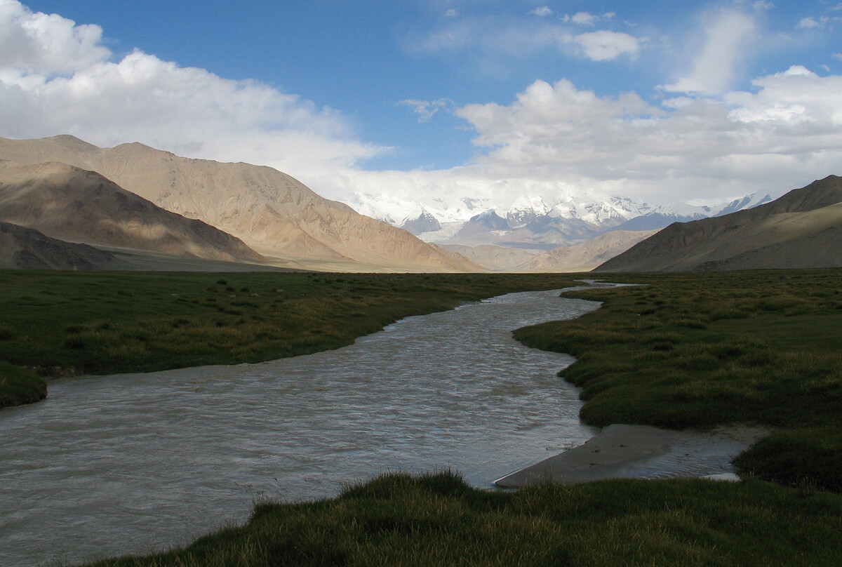
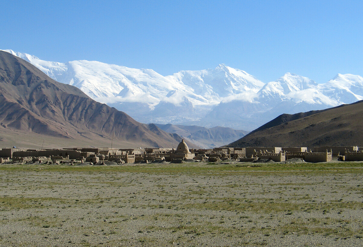
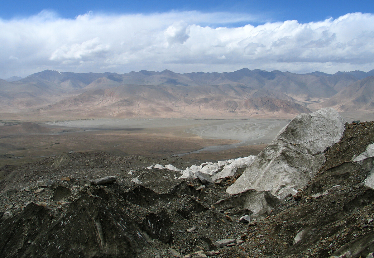
The long road from Kashgar up and over the Karakorams and on to Pakistan passes by Lake Karakul, a beautiful lake surrounded by mountains. On a clear day, it’s possible to see the 7,500m-plus peaks of Kongur-Tagh, Kongur-Tiube, and Muztagh-Ata pointing up from the line of mountains in the distance.
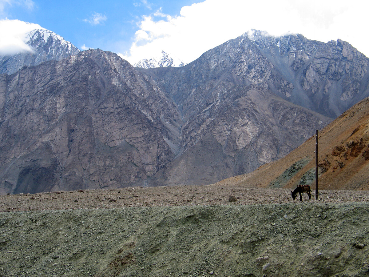
With a peak at 7,546m, Muztagh-Ata is the second-highest mountain in the area, and will form an impressive backdrop for much of our trek. Our hike will be along trails in the foothills of the mountain, following part of the path climbers take up on the way up to the basecamp.
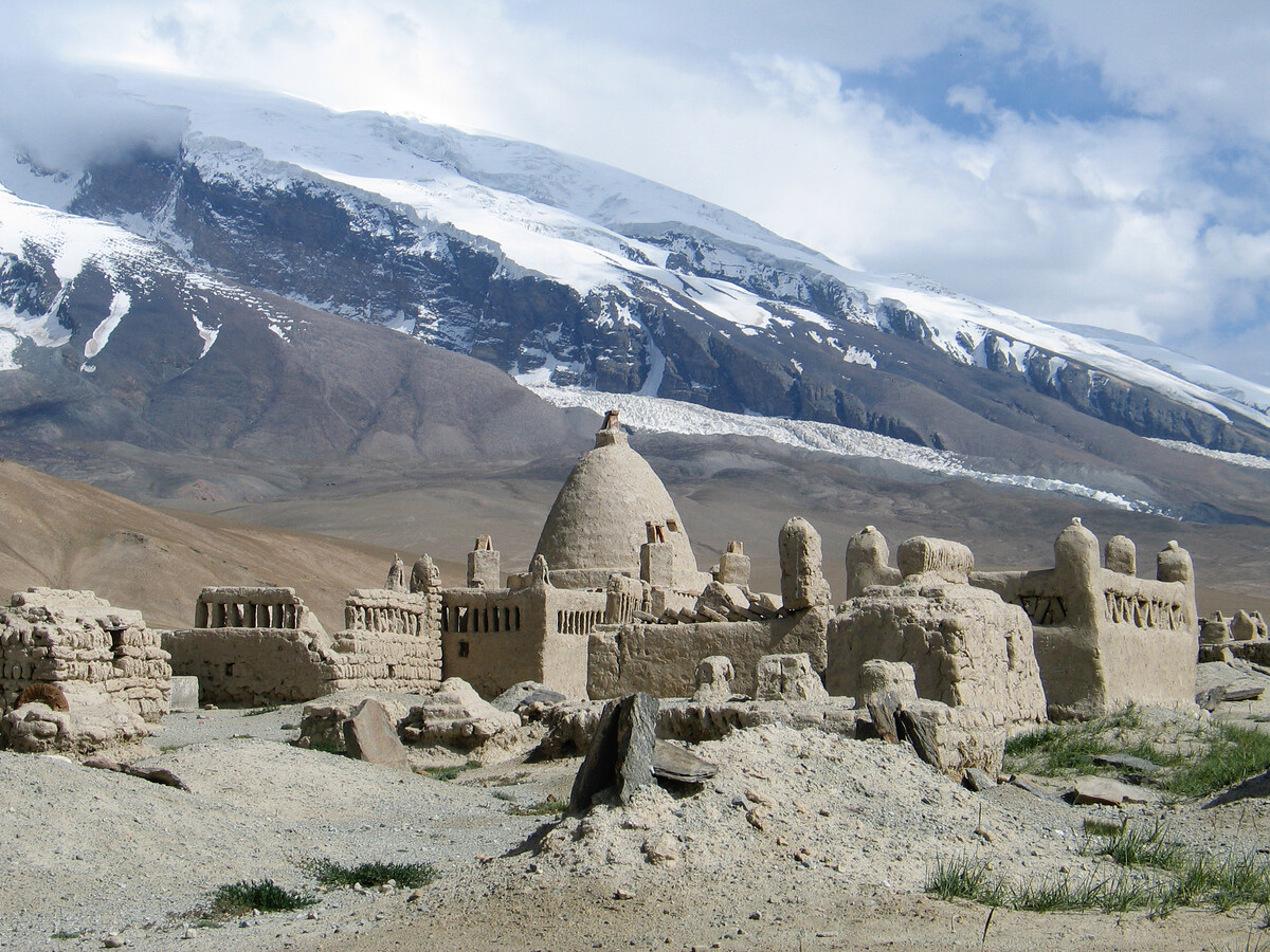
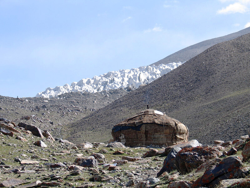
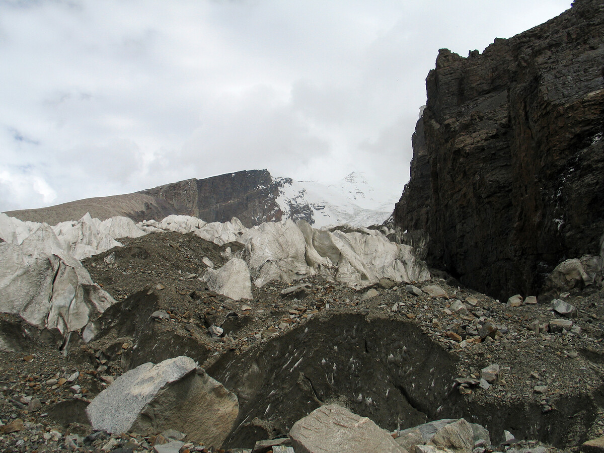
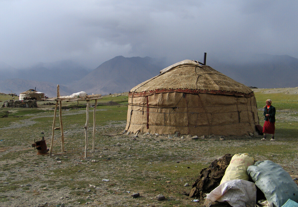
On the second night of the trek, we’ll camp at a nomad settlement near the stream that runs down through the basecamp from the mountain’s glacier. The large boulders strewn over the foothills of Muztagh-Ata give an indication of the previous size of the glaciers in the area – very large!
We based that trip on this trip.
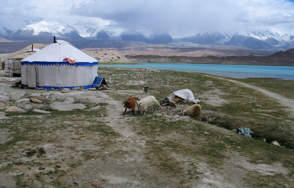
Lake Karakul
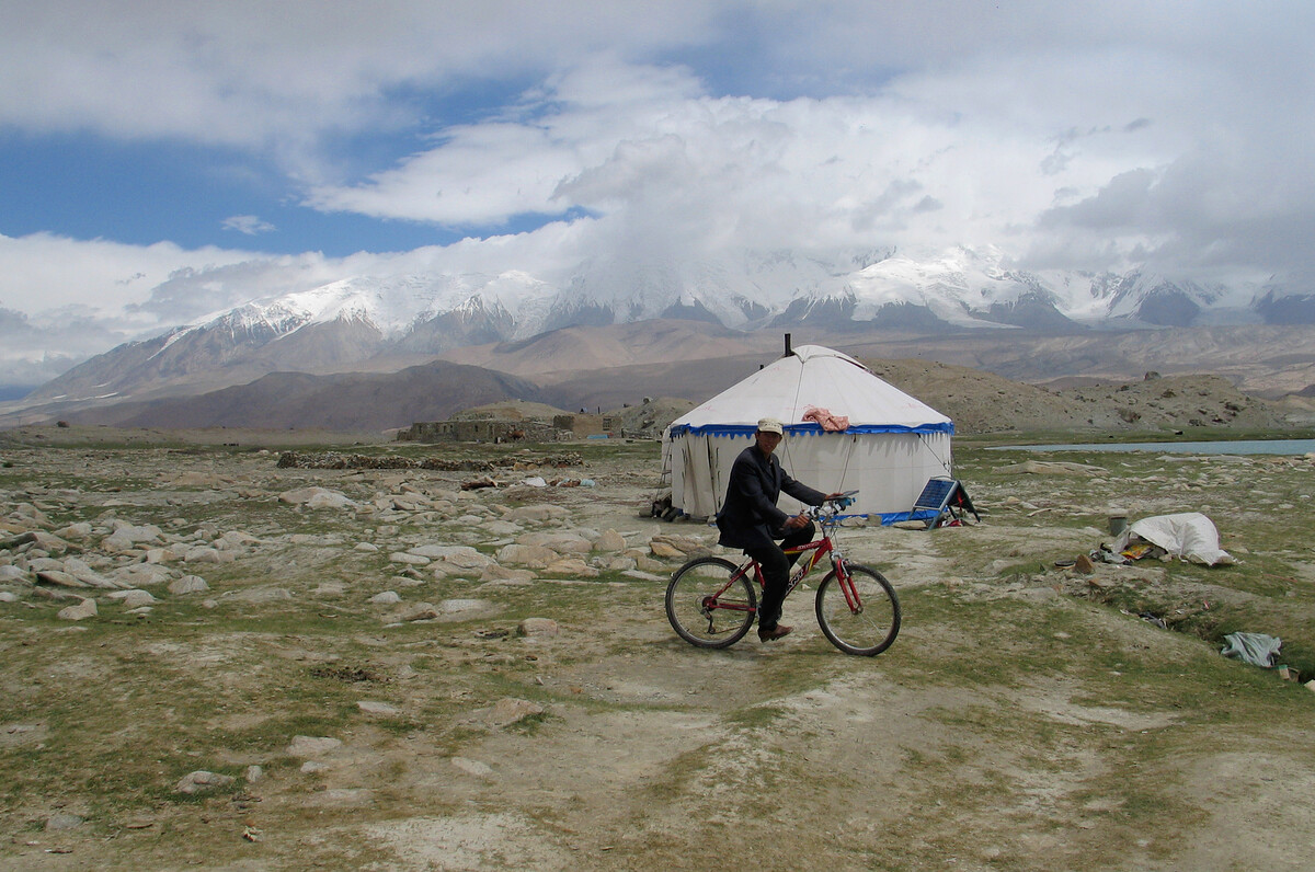
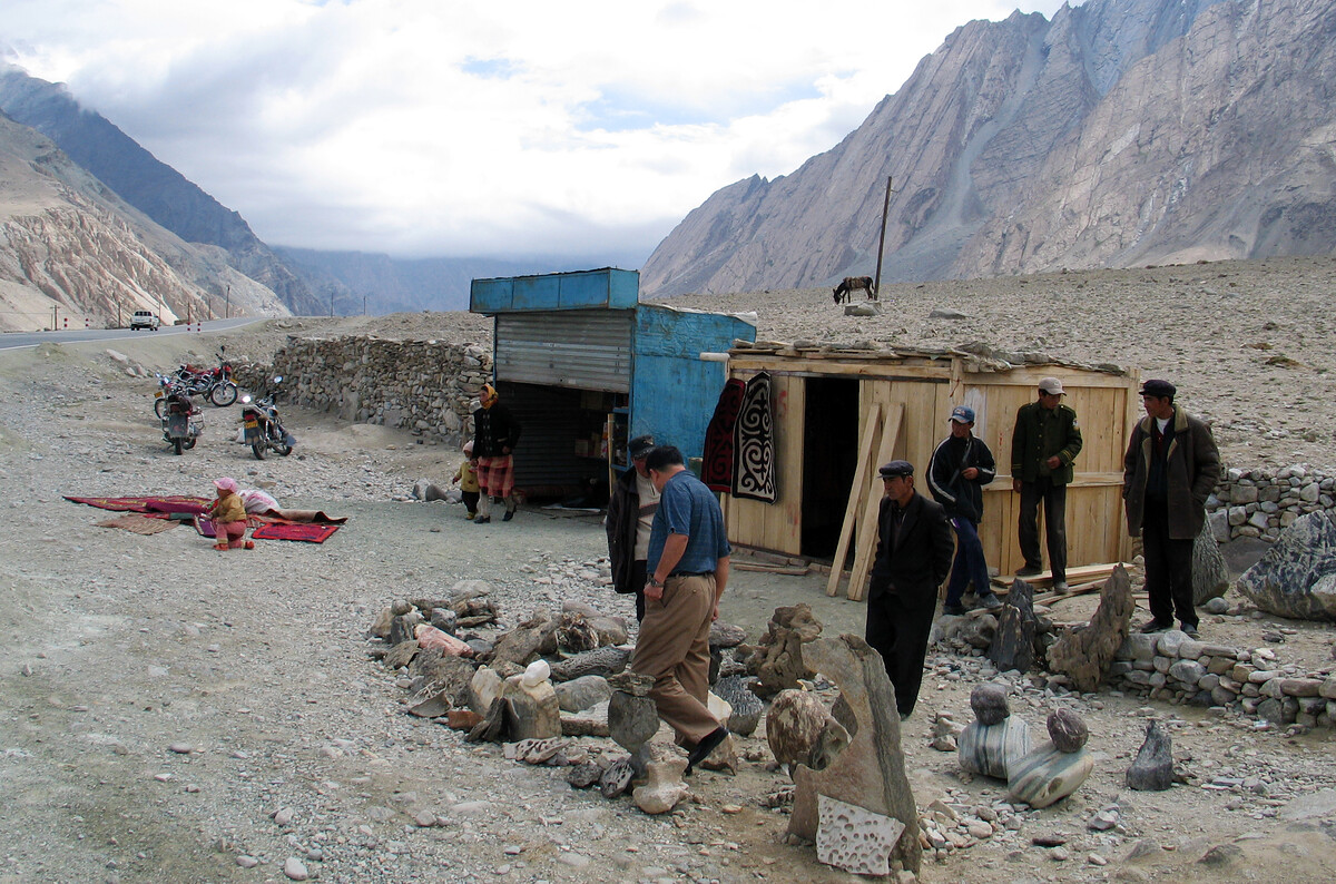
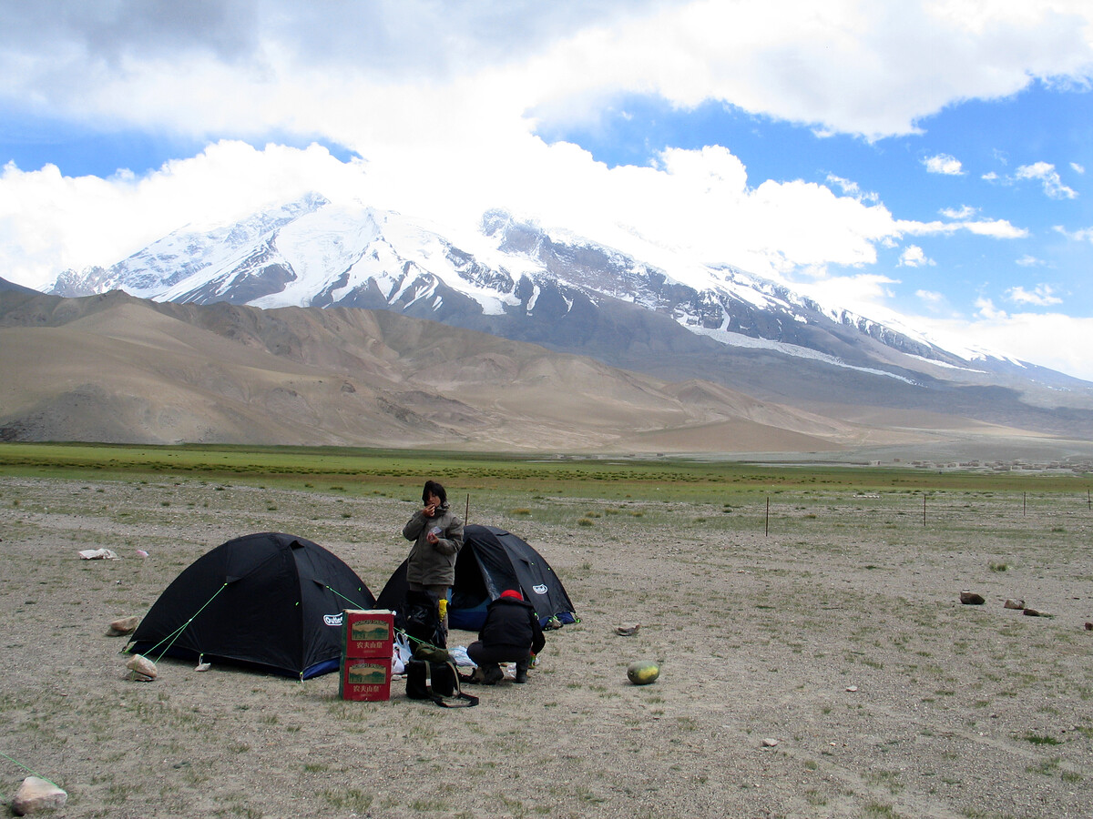
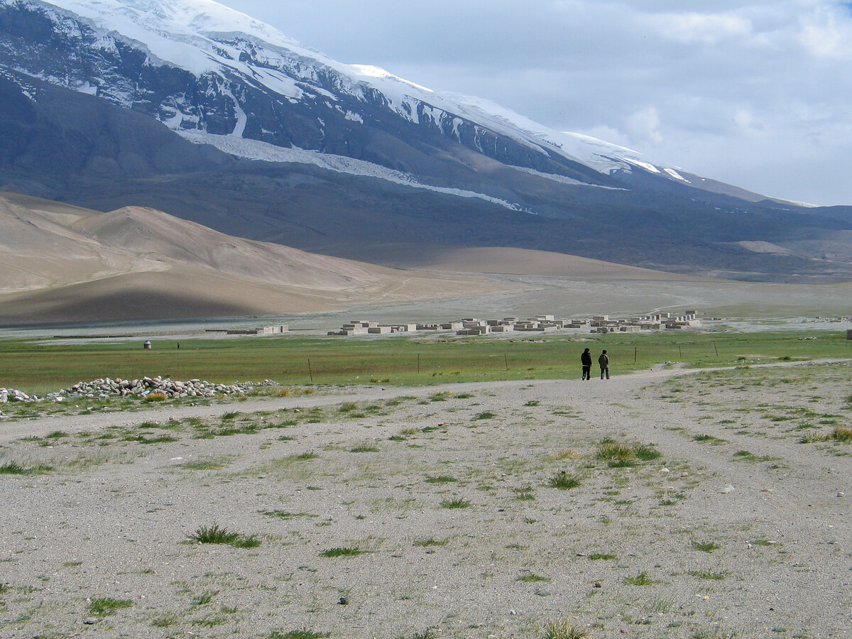
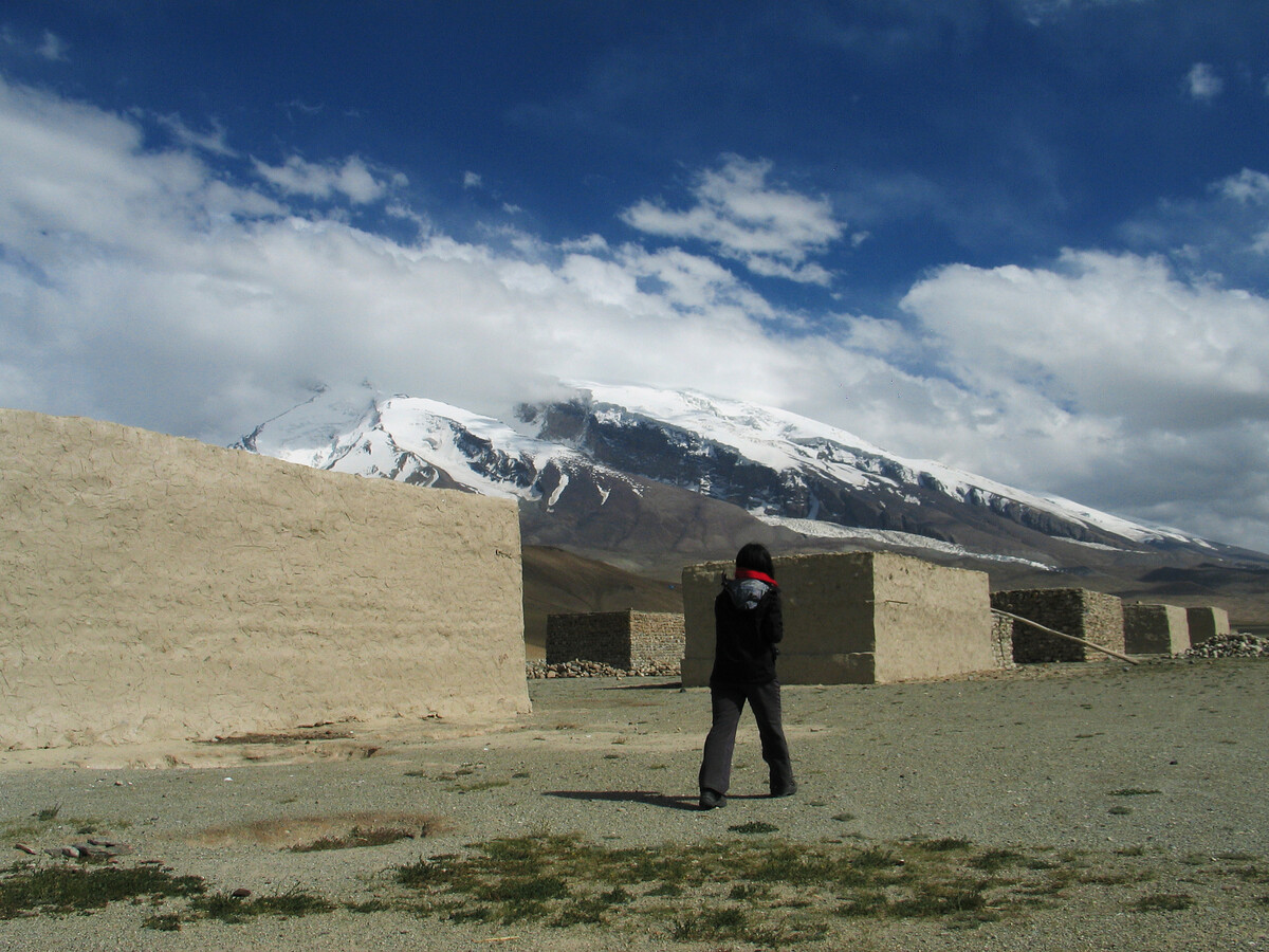
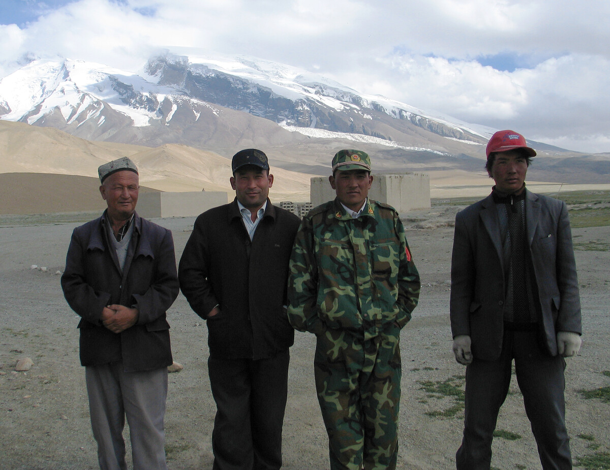
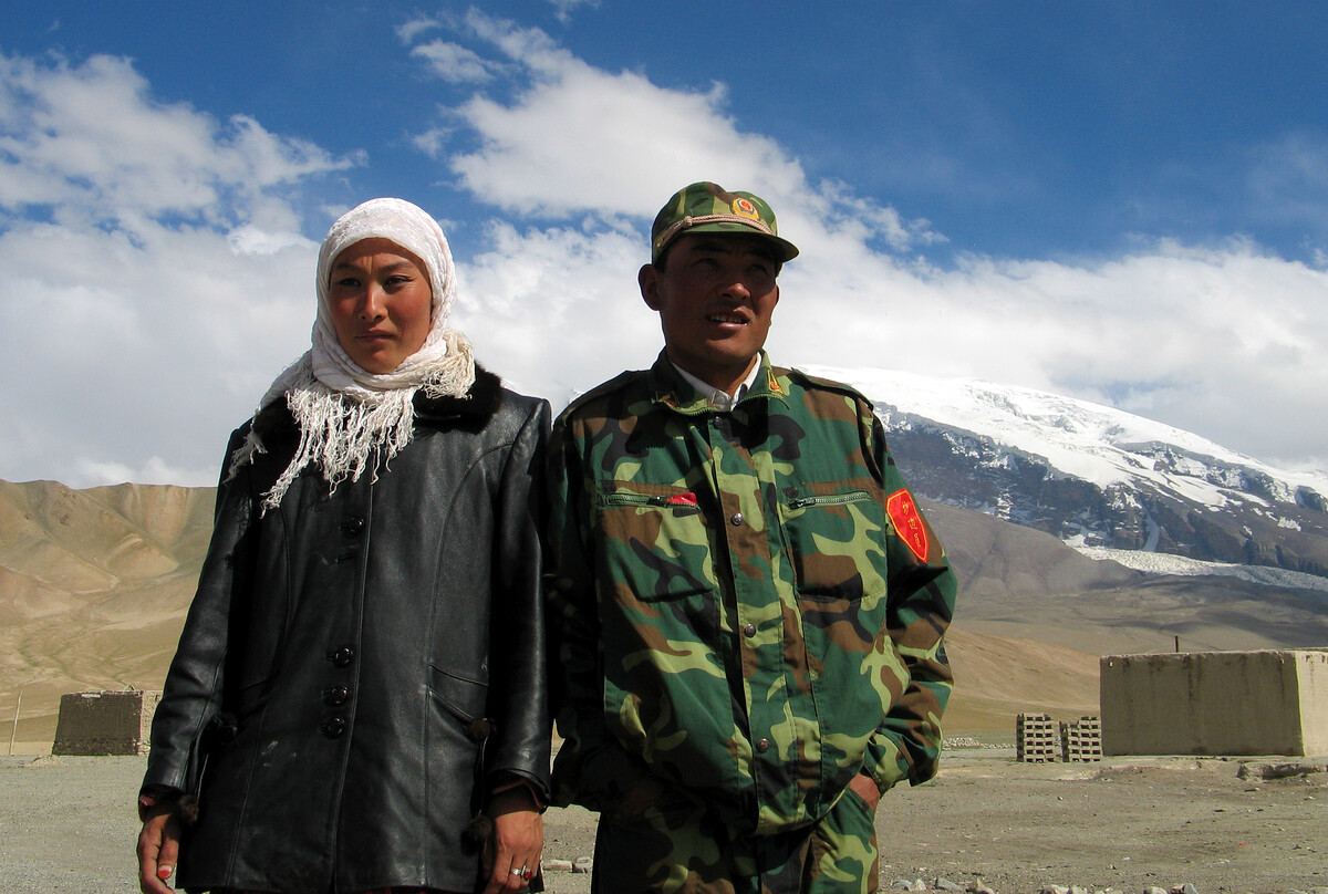
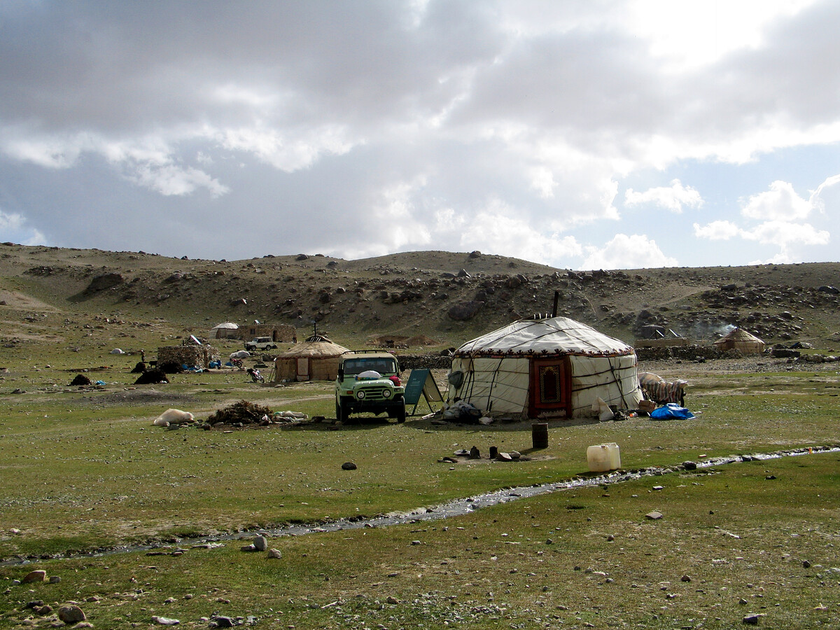
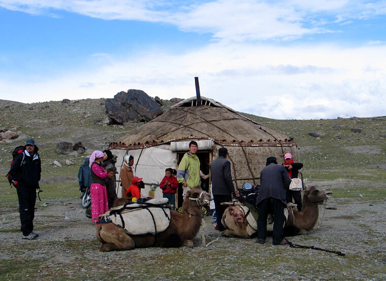
204 campsite and walkabout
This spot was called ‘204’ because it was 204 kilometres from somewhere. The driver told us the name of the somewhere but now I can’t remember. I guess the somewhere was either Kashgar or the China-Pakistan border.
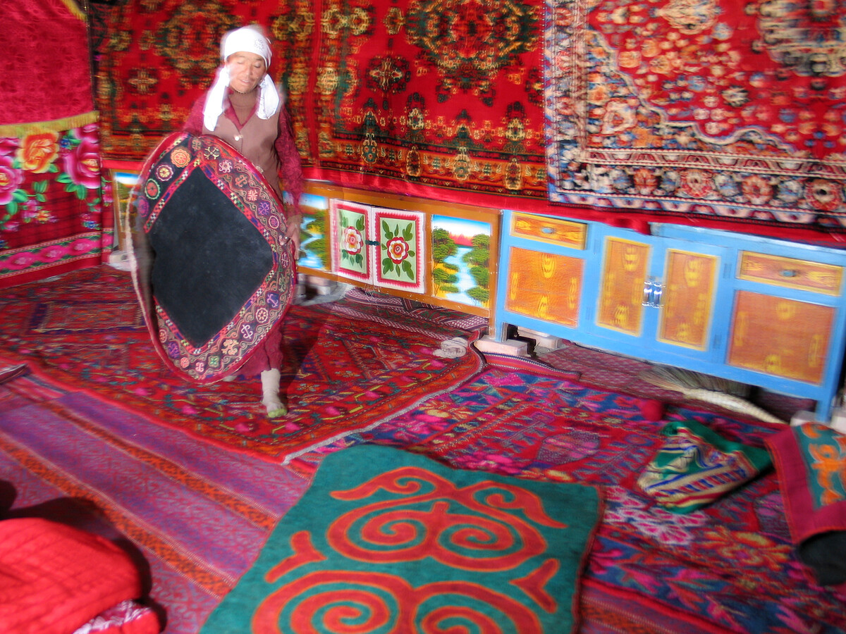
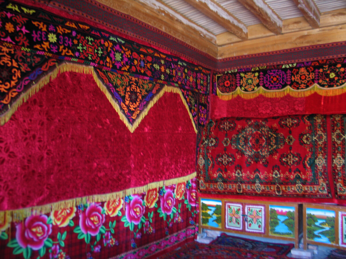
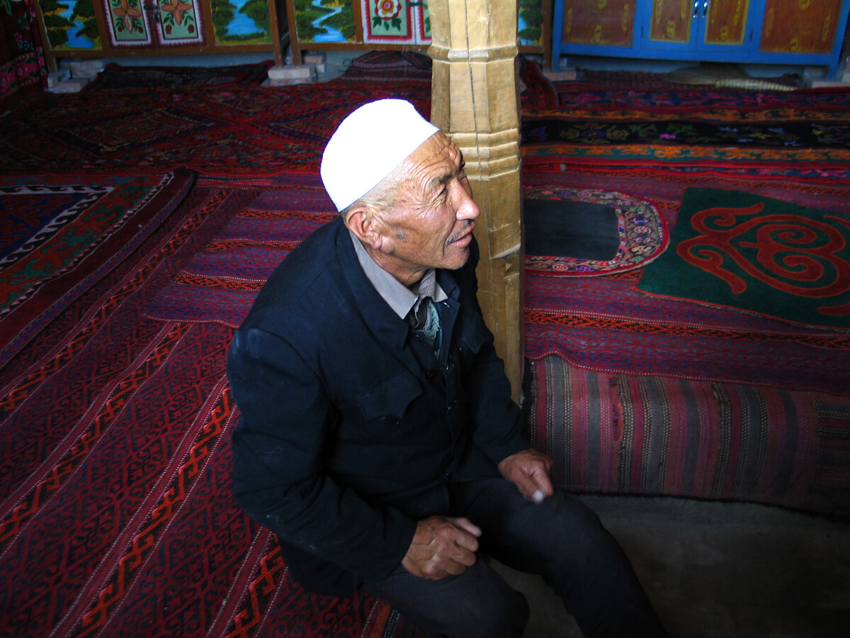
After pitching the tents we set off on a walkabout to see what the nearby buildings were all about.
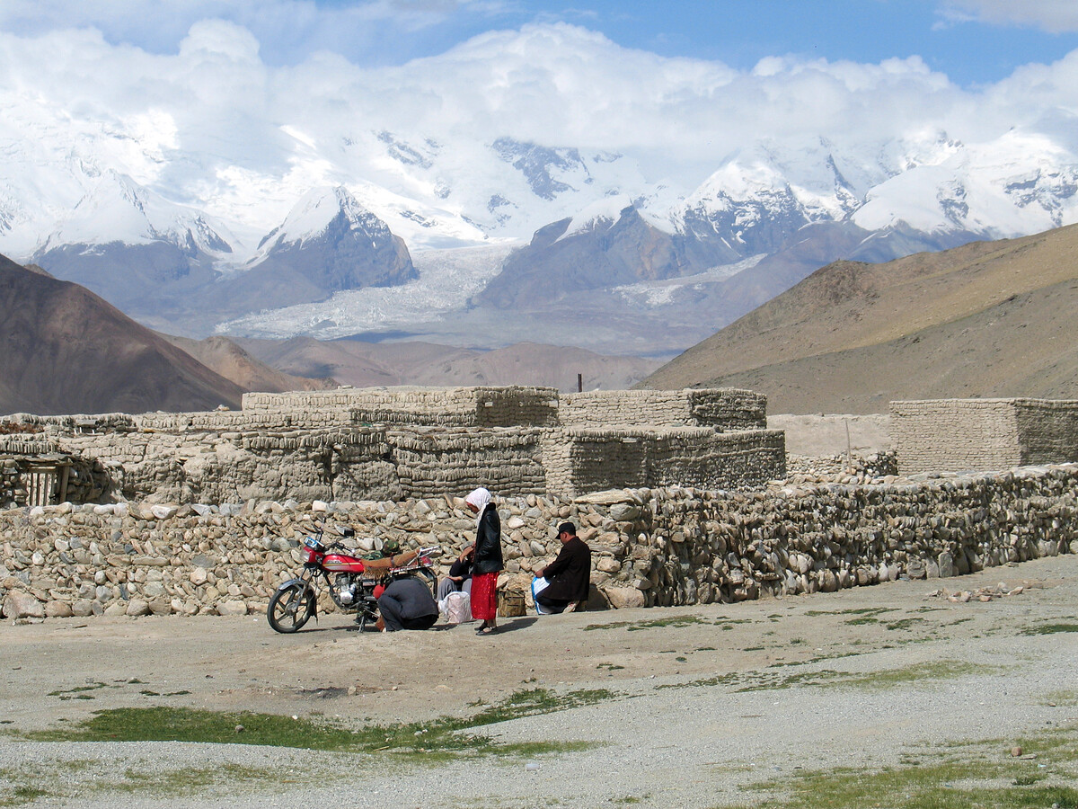
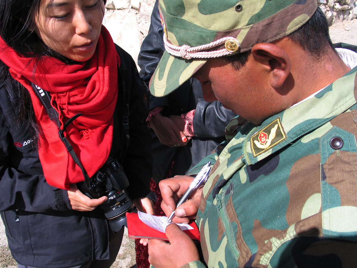
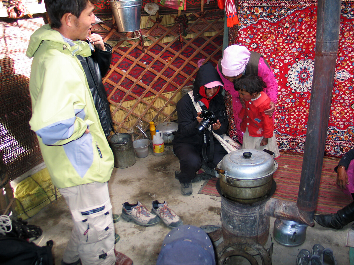
After a bit of a chat we were invited inside to check out their carpets. As well as being decorative, the carpets were a store of value for the Mr and Mrs here—wool from their flocks of sheep and yaks is crafted into carpets, carried around as they move from place to place, and (hopefully) eventually sold to visiting trekkers from Beijing. (We bought the green and red carpet in the photo below.)
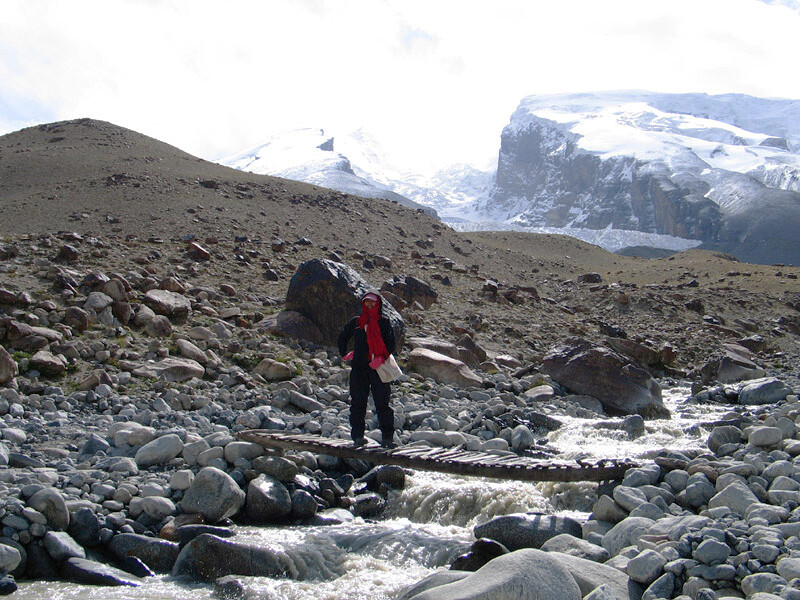
On our way back to our tents we crossed the river and took a detour to look at a cemetery.
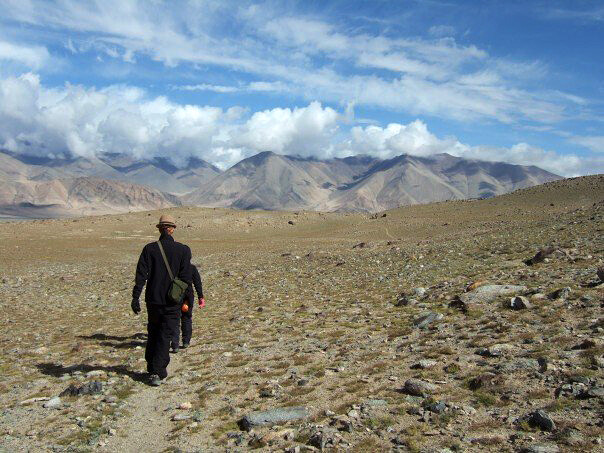
Up to the basecamp
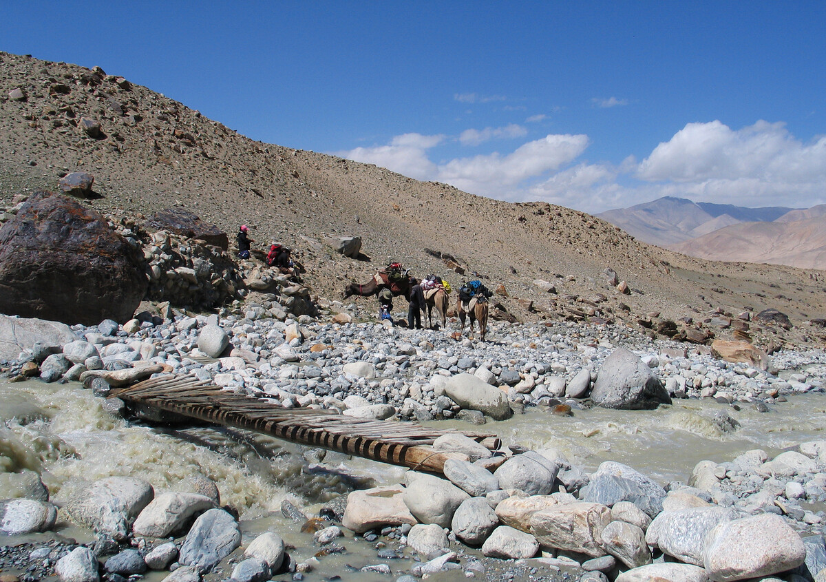
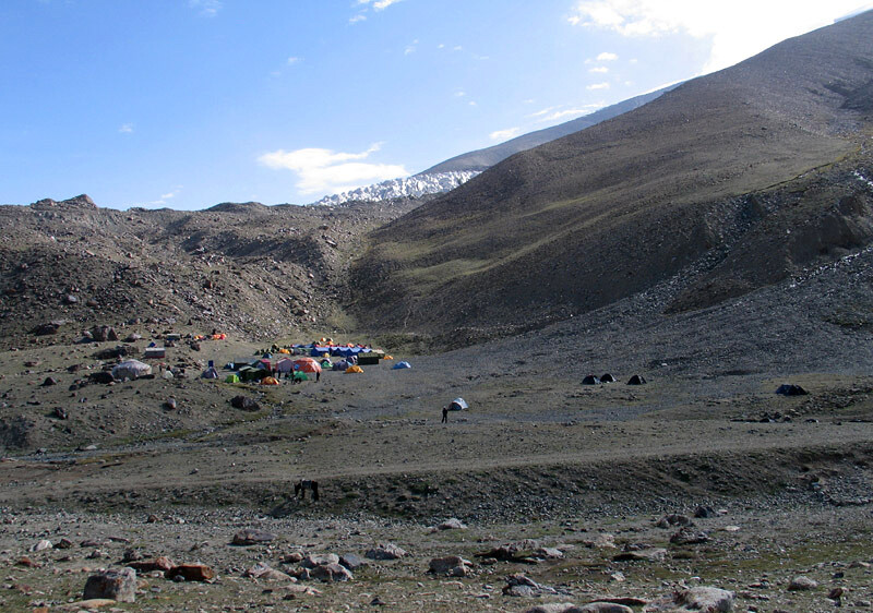
This wasn’t a tough hike, but by the time we got to the base camp (4,500m above sea level) I felt like I was wading in chest-deep water.
There was a kitchen tent set up at the base camp, and while our French fries cooked (!) the camp staff entertained us with stories of how many people had died on the mountain—some of them recently. Maybe ‘entertained’ isn’t quite the right word.
So anyway, not long after the French fries, BigUncleB crashed out in his tent. Not long after that, the camp guys started talking about how he probably had altitude sickness and could be dead already, and it turned into a Schrödinger’s cat situation, only instead of a cat in a box it was a BigUncleB in a tent.
(He was okay!)
The basecamp stay was amazing, except for a minor controversy over the actual price of French fries. It was so cold during the night that the little stream running through the camp started to freeze over.

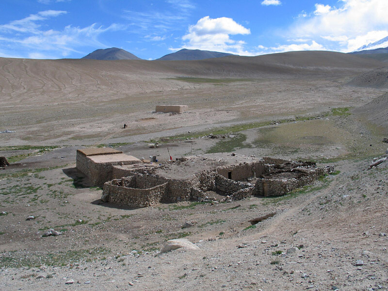
Cheltemak and walking out
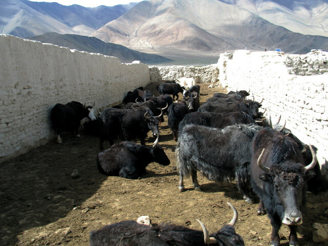
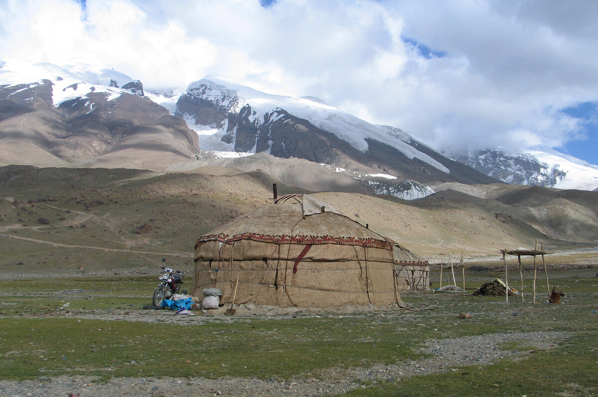
We did a short hike down from the base camp to the aforementioned nomad settlement, which is also known as Qortomak. It’s a seasonal settlement—when it’s warm enough for the grass to grow, nomadic herders set up here to graze their yaks and sheep. It was settled at the time of our visit, and we took the opportunity to upgrade our accommodation by staying with a family in their ger—much, much warmer than our tents.

6. Back to Kashgar
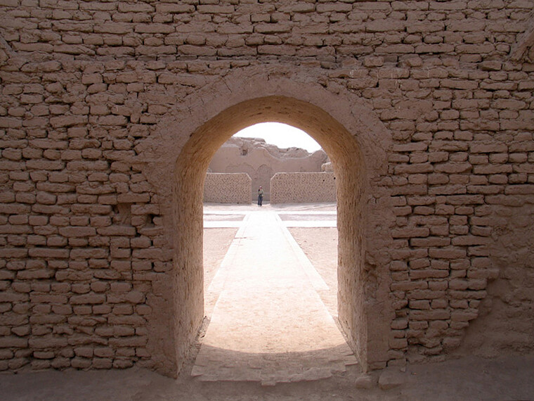
Back in Kashgar, we revisited the Old City for more carpet shopping, took a short day trip to look at the Afaq Khoja Mausoleum, and visited the long-distance bus station to organise our tickets for the overnighter to Turpan.
Known as an excellent example of a traditional Islamic city, Kashgar’s Old City has undergone significant changes in recent times—some parts have been knocked down due to new regulations about building to meet earthquake and fire codes, and some sections are undergoing reconstruction.
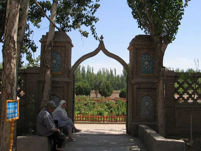
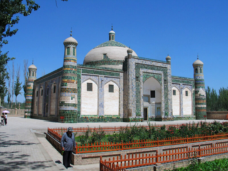
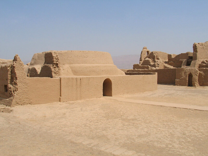
Afaq Khoja Mausoleum
Commonly known as the Tomb of the Fragrant Concubine, it is more accurately described as the tomb of Afaq Khoja, a religious and political leader said to be a relative of Muhammad, and is one of the key Muslim sites in Xinjiang.
The mausoleum was built around 1640 for Muhammed Yusuf, the father of Afaq Khoja, and is a domed structure with four corner minarets and a beautiful cladding of glazed tiles.
The key points of the story of the Fragrant Concubine differ greatly, depending on which side is telling it. One side has it that she was presented as a gift to the Qing Dynasty’s Qianlong Emperor, who she grew to love. The other side has it that she was kidnapped and held against her will in the Forbidden City, where she plotted to kill him until being poisoned.
Read more about the Afaq Khoja Mausoleum on Wikipedia
7. To Turpan and then back to Ürümqi
We went from Kashgar to Turpan on the overnight bus, which ran along the edge of the Taklamakan Desert.
BigUncleB and I thought taking a few beers for the road might make it more interesting. We cancelled that plan after noticing we weren’t on the kind of overnight bus that includes an onboard toilet.
That turned out to be a good decision, as toilet stops were extremely few and far between. Adding to the discomfort were ‘sleeper’ seats that were fixed and a wee bit too small.
After arrival in Turpan we went out for lunch at a fairly large restaurant, and this was the occasion of another extremely vivid memory from the trip, which I’d title “The Worst Smell Ever”.
I won’t say more on that, because it’s actually way too disgusting. I will say that the experience featured a swift retreat from the toilets of an otherwise clean restaurant, and if I did say more I’d be using phrases such as “worse than that time at the IHC facility when we had to clean up meat that had been rotting in the sun for a week”, “no walls or door for a squat-style toilet”, “like a perfectly formed McDonalds ice cream cone but gigantic and with notes of baijiu”, and “imagine the ████ was a nest of wasps, and the smell of the ████ was like all of the wasps in the nest flying out of it into your nose and ahhhhhhh the wasps are stinging inside your nose”.
Anyway.
In Turpan we visited the Gaochang Ruined City, and the Emir Minaret. We also visited the Karez irrigation system and stayed a night in Grape Valley.
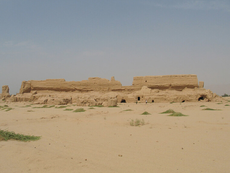
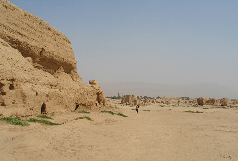
Gaochang Ruined City
Gaochang (AKA Kara-Khoja) was a trading stop on the Silk Road, mentioned in historical records from 1 BC, and destroyed during wars in the 14th century.
It was 45°C when we drove out past the Flaming Mountains to get here. Up until then I’d never been in temperatures that high, outside of a sauna.
“It’s a dry heat”, they say. “At least it’s not humid.”
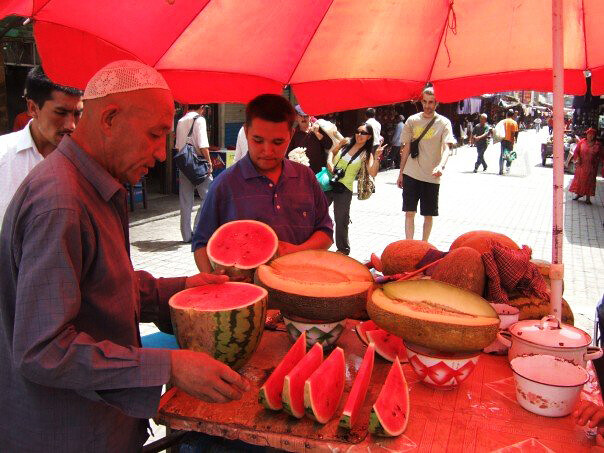
We lasted about 30 minutes before moping back to the ticket office to cool down with slices of watermelon.
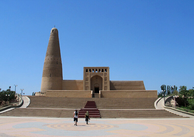
Emin Minaret
The Emin Minaret was completed in 1778, is the tallest minaret in China (44m), and is all made of wood and brick.

8. Back to Beijing
HJ continued her Xinjiang adventure with a trip to the big lake at Ili.
The rest of us flew back to Beijing.
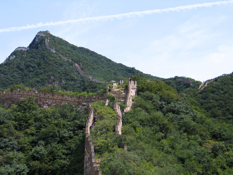
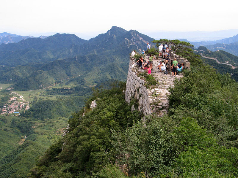
Before BigUncleB made his way back to the UK we squeezed in a bit of Great Wall adventure, tagging along with a Beijing Hikers group to hike the rough and wild stretch of Great Wall between Moyashike and Jiankou.
(Beijing Hikers visits this part of the Great Wall on a hike called the ‘Chinese Knot Great Wall’.)
Overall a great trip, 10/10, would do again.
Sponsor-presented message:
This travelogue is brought to you by the Warkworth Non-Sports-Related Friendly Friendship Association (Grey Lynn Chapter)