
Qiangzilu Great Wall
Various views from the V-shaped Great Wall at Qiangzilu. (100+ photos, light commentary)
What’s in this post?
Qiangzilu Great Wall overview
The main thing to see at Qiangzilu is the V-shaped Great Wall. There’s also the Guanshang Fort, but it’s not super exciting—just two walls remain, and one of the gates.
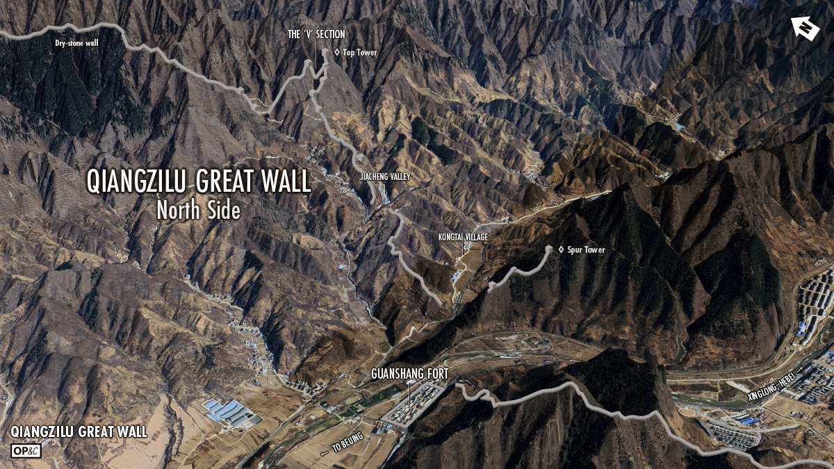
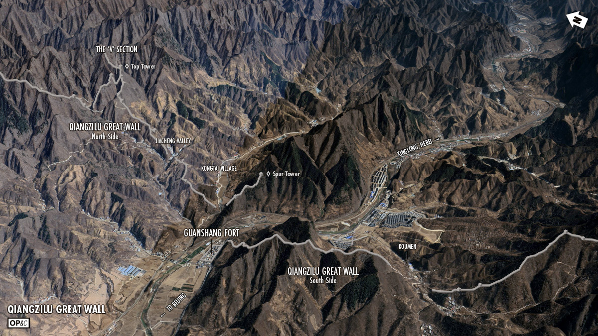
Qiangzilu is at the Beijing end of a pass through the mountains to the northeast of the city. The fort is placed to control a narrow patch of flat land between mountains, a river, and some cliffs, and the wall goes up into the mountains on either side to make it more difficult to sneak around the fort. Not too far further on from the fort the pass opens up to the Beijing plain.
There’s a plaque at Guanshang Fort that says it was built during the reign of the First Emperor of the Ming Dynasty (1368–1398), and most of the Great Wall here is made of rocks and stones, which matches the early Ming style of wall construction.
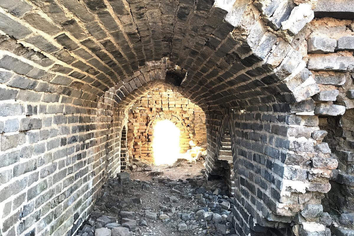
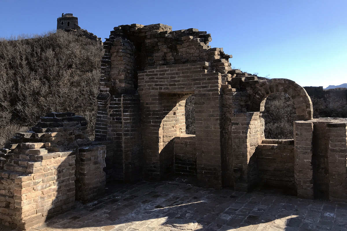
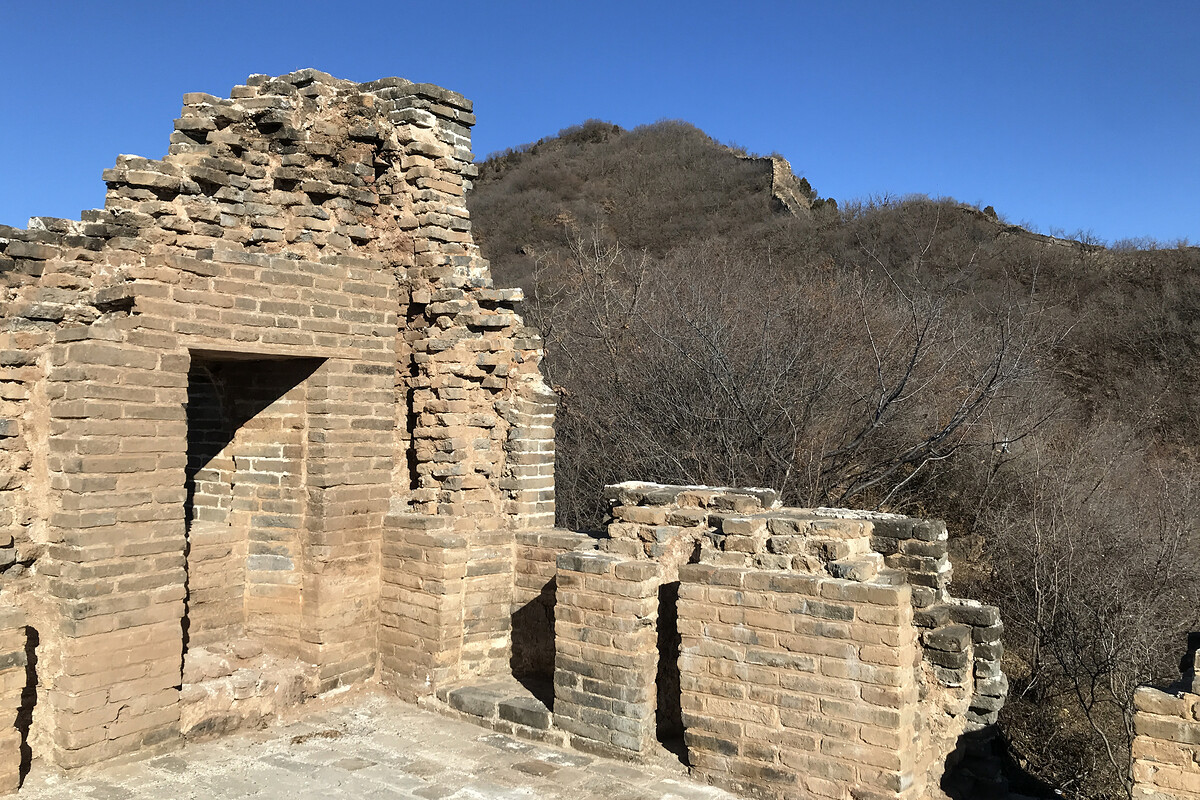
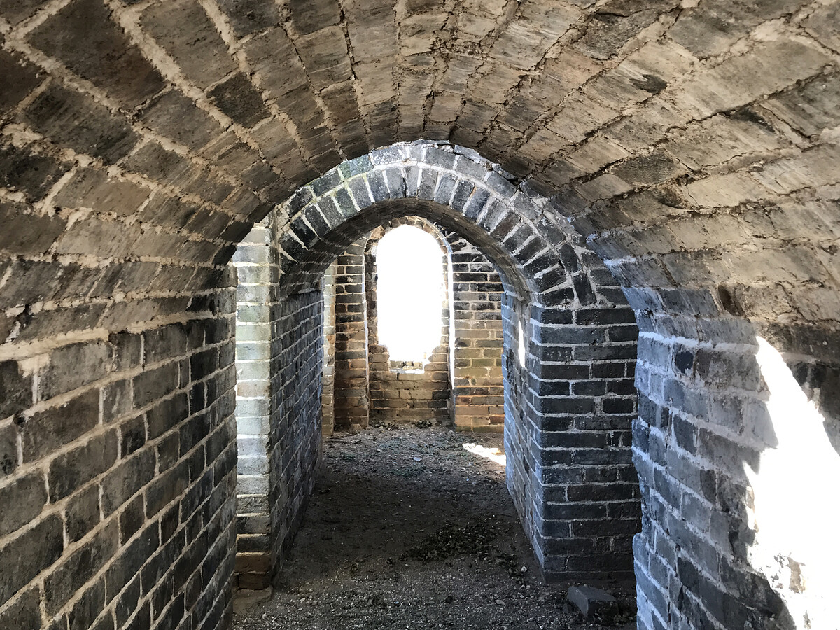
The Great Wall towers are mostly in the later Ming style, built with bricks and with space inside for soldiers and storage.
The plaque at the fort also mentions the fort was reconstructed in 1617, and I was going to write that the later Ming-style towers were probably added at the same time, but:
- At the Gubeikou Great Wall there are bricks in the wall with stamps that read ‘Made at Qiangzilu in the Seventh Year of the Wanli Emperor’ (1579 AD), so they were making bricks at Qiangzilu before the fort was reconstructed (Gubeikou is about 50km from Qiangzilu)
and
- There are stamps in the bricks in the Great Wall by the V section that read ‘Tenth Year of the Wanli Emperor’ (1583 AD)
and
- In the post about the Simatai Great Wall I included some info I found regarding a 1576 Mongolian raid which spurred reinforcement of the wall in this area using bricks instead of stones and rocks (Simatai is also about 50km from Qiangzilu)
so,
I think it’s reasonable to say the later Ming-style towers were probably added in the 1580s, before the fort was reconstructed. (Internet points are available if you can give me the actual answer.)
Why is it called Qiangzilu
Often a section of Great Wall is named after a nearby village or old fort (e.g. Huanghuacheng), and sometimes, if there’s a village on either side of the wall, the name of the section of wall will depend on which village’s villager you ask. (e.g. Chenjiapu vs. Shixiaguan)
So I thought the wall would be named after the nearby Qiángzǐlù / 墙子路 village, and the lù / 路 character in Qiangzilu would just mean road, like it commonly does. But lù can also translate as ‘route’ or ‘corridor’. Not a corridor like inside a building, but a geographical feature-type corridor. (The most famous example of a geographical feature-type corridor that I know of is the Wakhan Corridor.)
Turns out that back in the Ming Dynasty this pass through the mountains was called the ‘Qiangzi Corridor’ or the ‘Qiangzi Route’. The fortifications at Qiangzilu – the Great Wall and the Guanshang Fort – belong to the Ming-era defense system that controlled passage through the ‘Qiangzi Route’.
The main passes through the mountains into Beijing were also named routes – for example, the Gubeikou Route, the Huanghua Route – and routes in the same area were grouped into a Xié / 协, for which I haven’t been able to pick a fitting translation. It’s like an organisational set up—the commander of Beijing’s Western Xié would be responsible for all the Lùs in that Xié, and the commander of each of those Lùs would be in charge of the various forts and Great Wall and groups of soldiers defending the route.
Photos and what-not
I’ve hiked at Qiangzilu fewer than 10 times, and the photos on this page are from just a few of those visits. The photos are ordered as though you were hiking it the way we used to—up to the V-shaped section from Jiacheng Valley, and then back along the wall towards the fort. Similar scenes and angles are grouped to show the differences over the years.
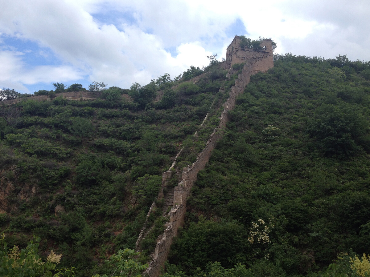
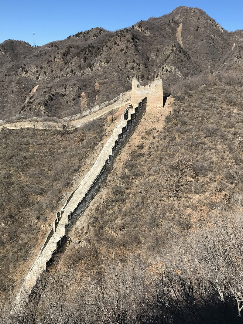
The V-shaped Great Wall
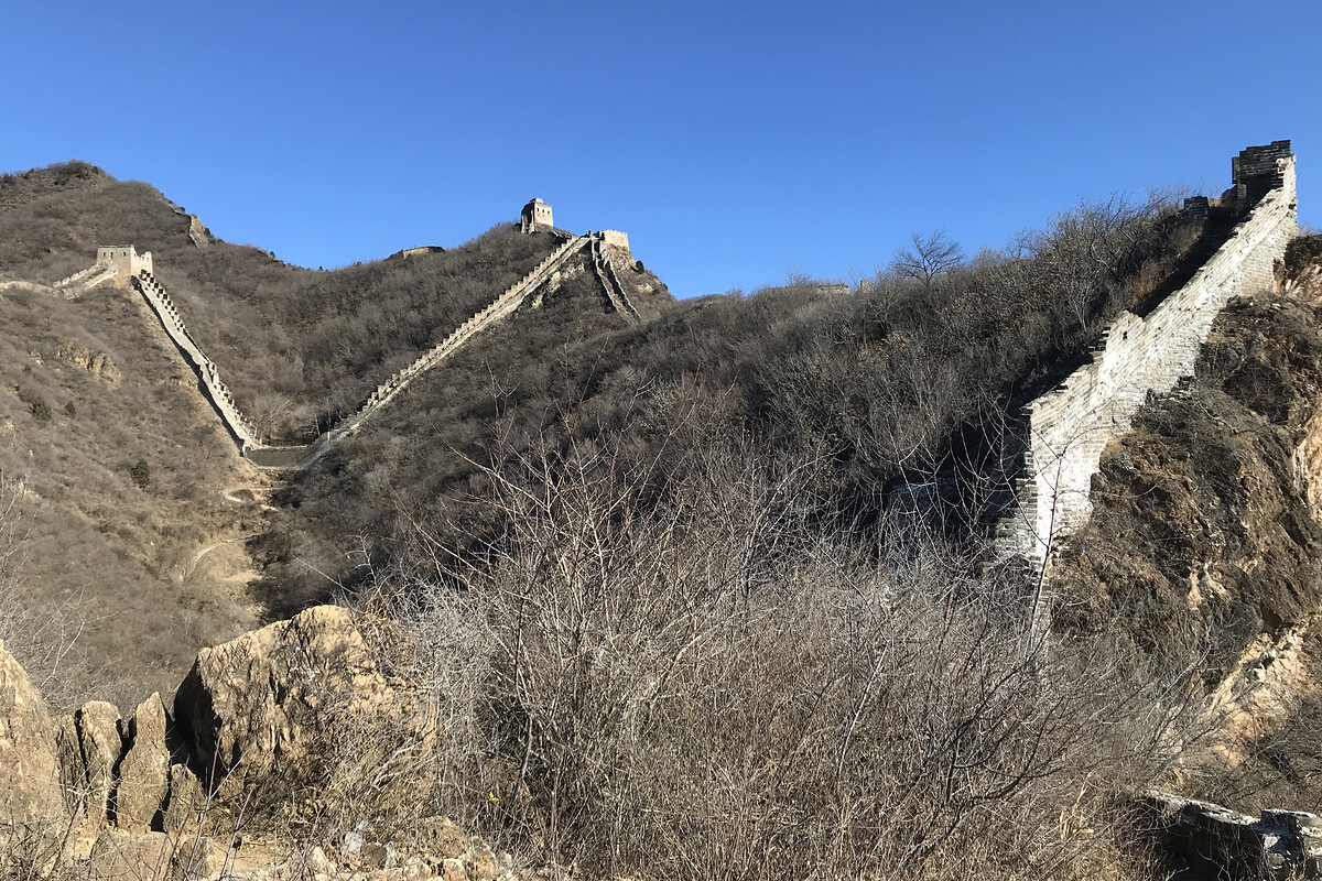
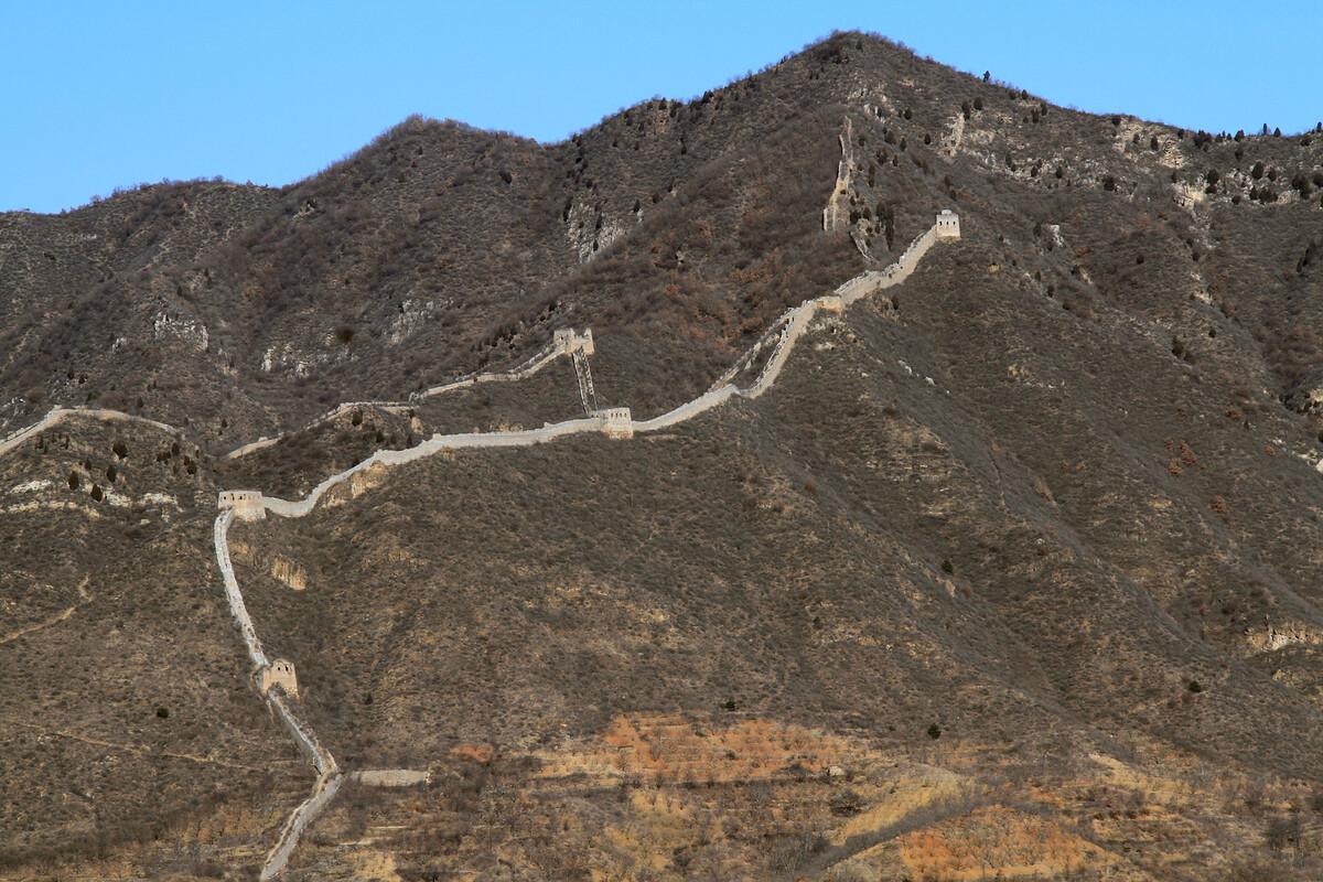
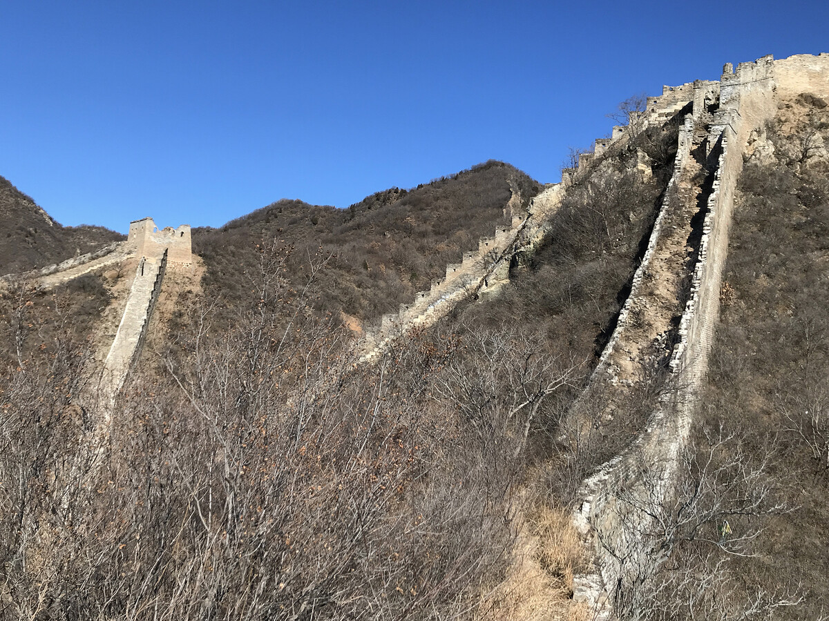
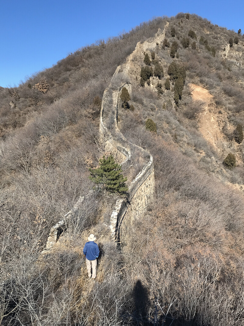
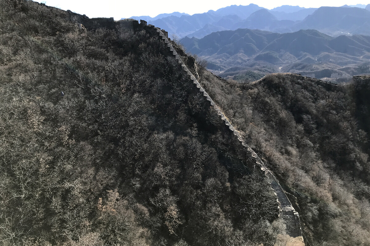
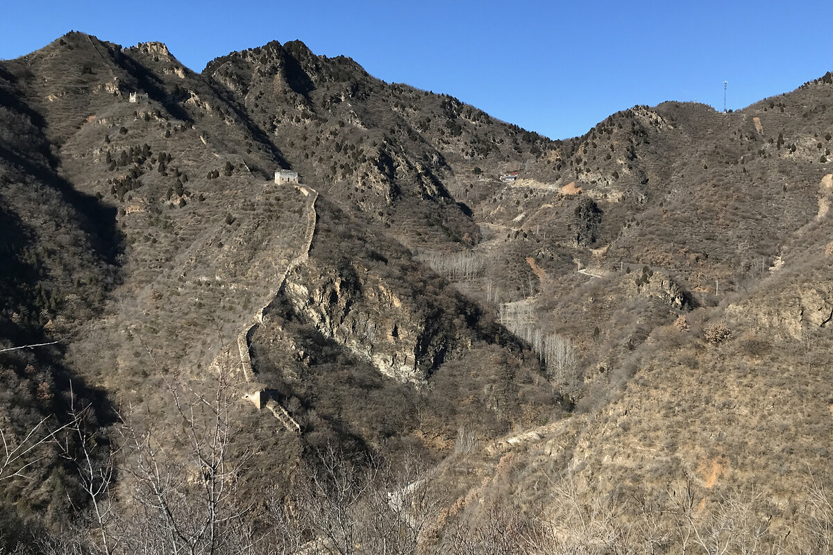
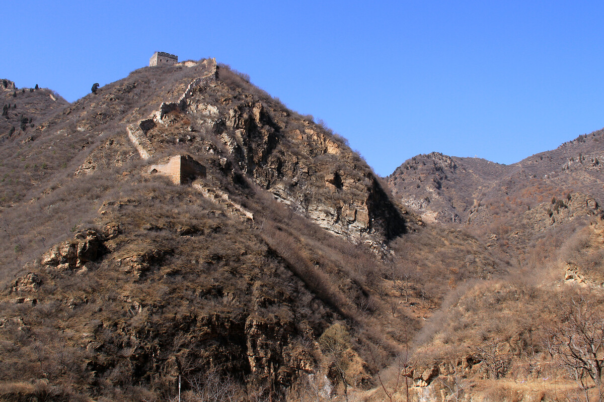
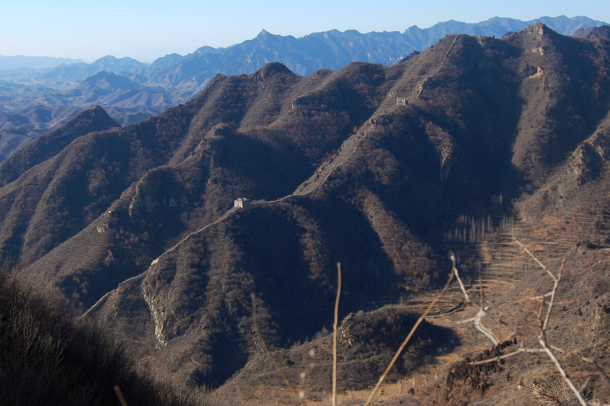
There must have been a good reason to build it in a big V instead of connecting across the top, but I can’t figure it out.
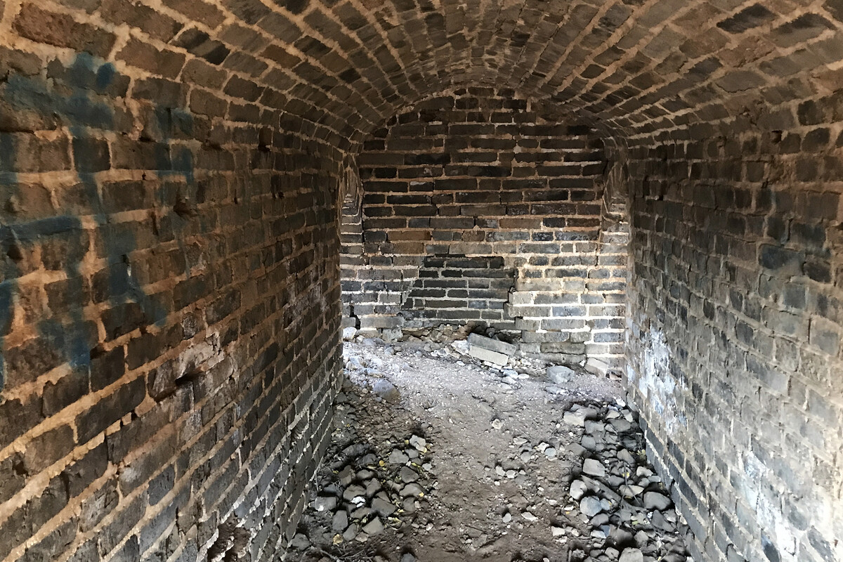
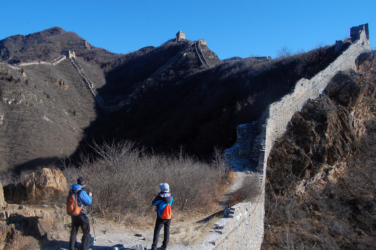
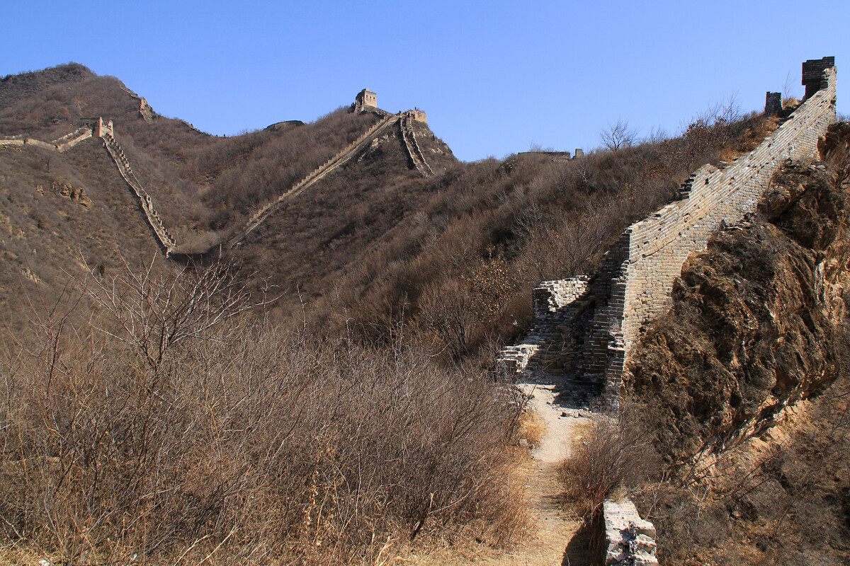
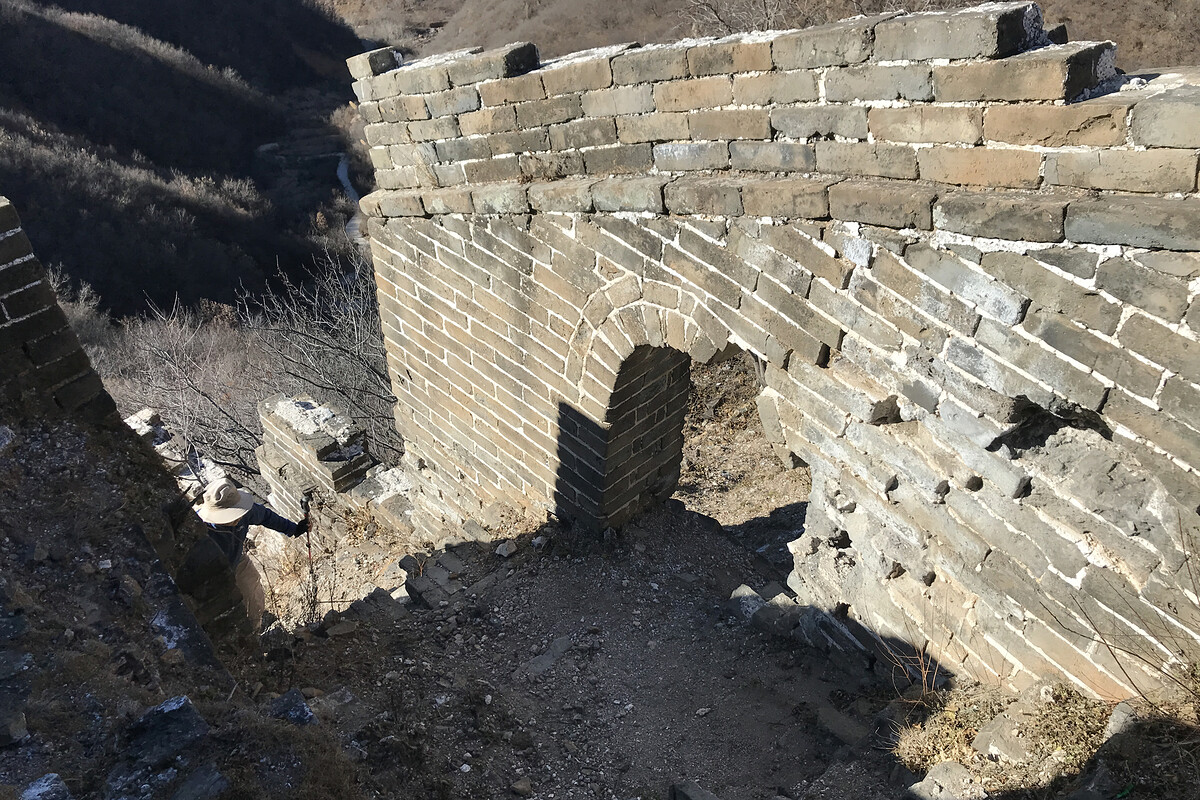
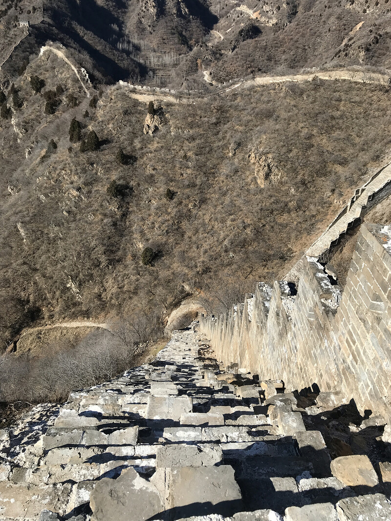
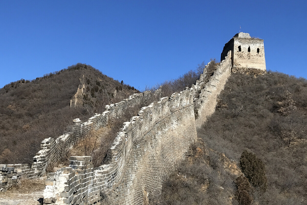
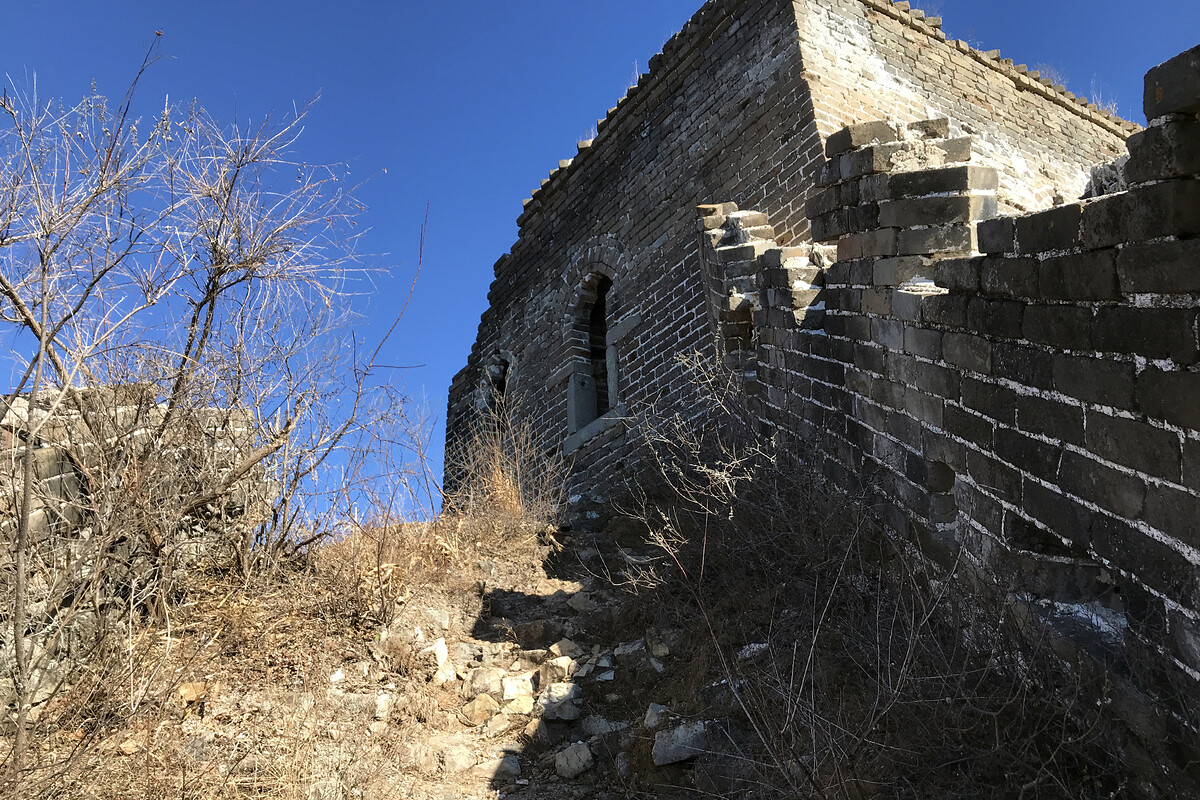
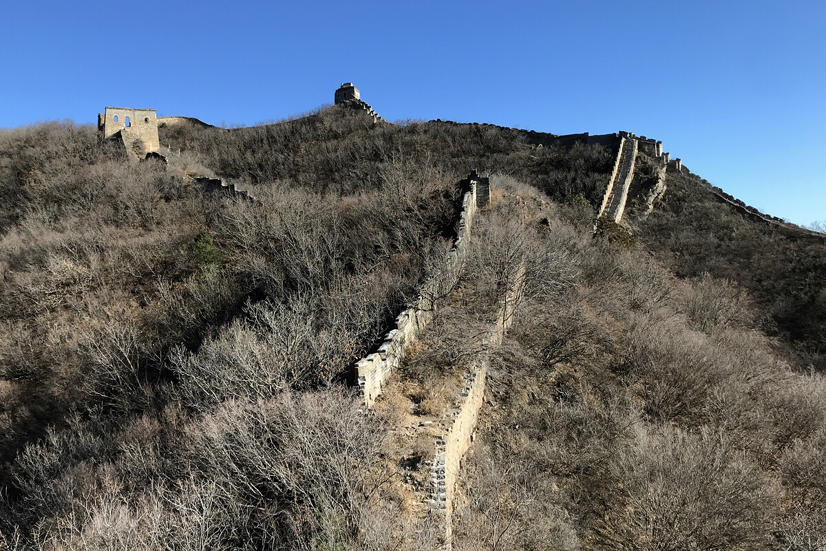
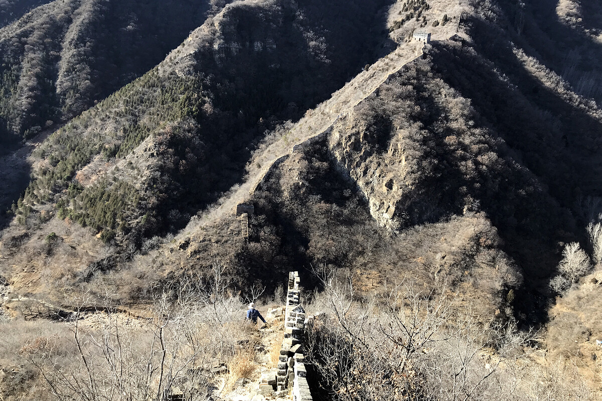
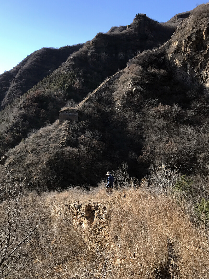
The Great Wall around the V section has more of the later Ming Dynasty look to it compared to the wall in the lower hills, with large cut stones for the foundations, brick battlements, and large hollow towers. Parts of the V section were repaired in the early 2020s.
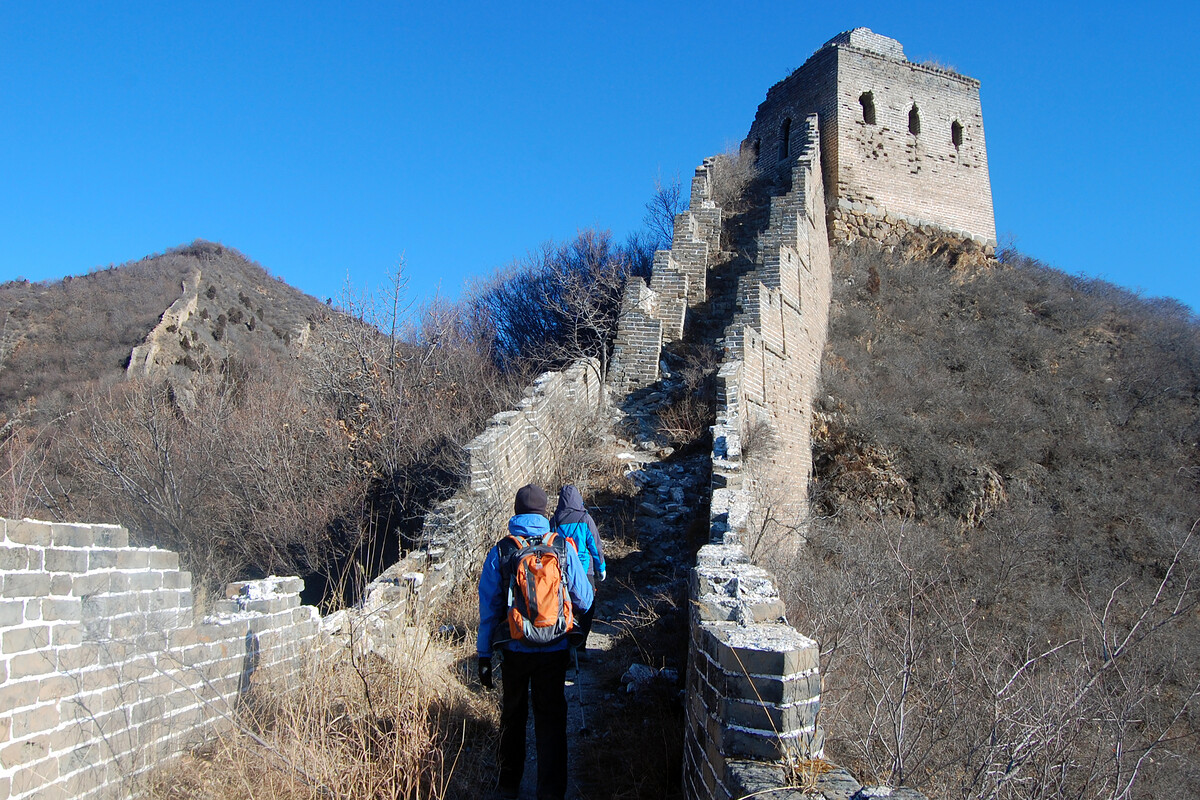
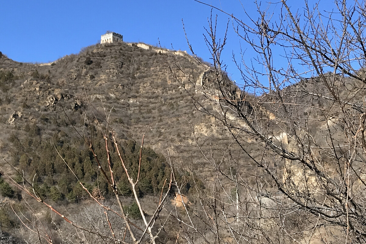
This first lot of photos follows the wall from Jiacheng Valley up past the V to the top tower, then over to the tower on the north side of the V, and then down along the wall from that tower.
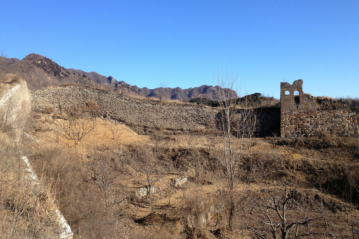
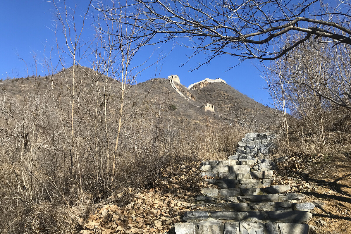
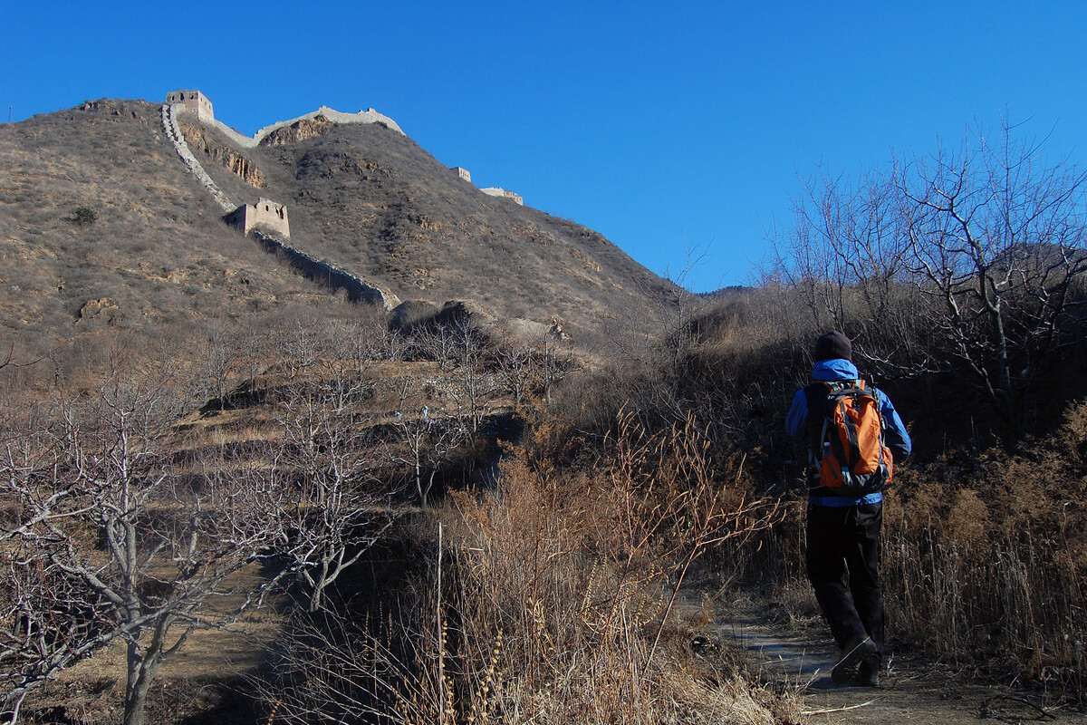
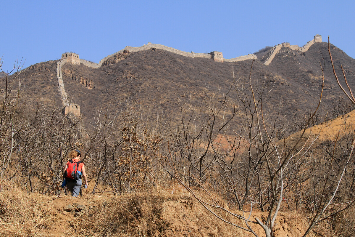
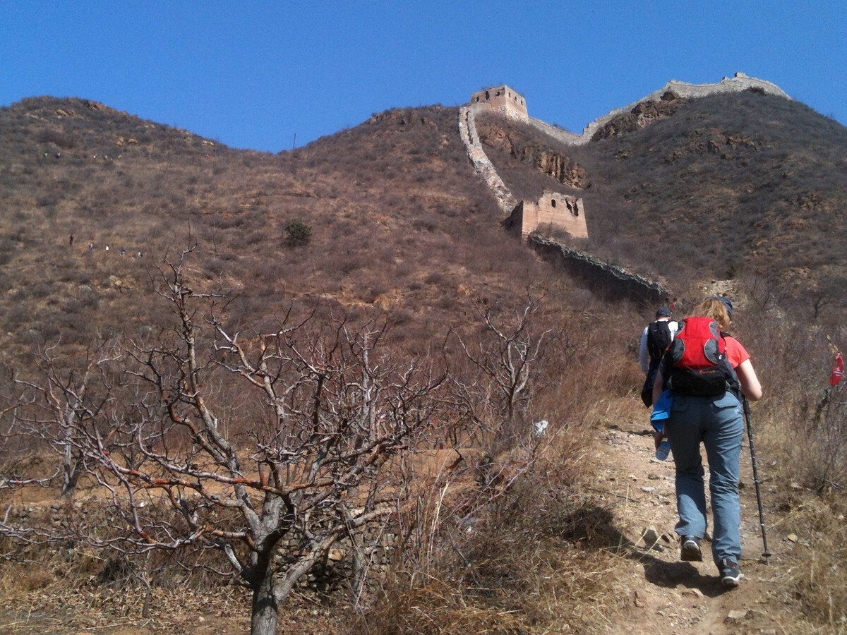
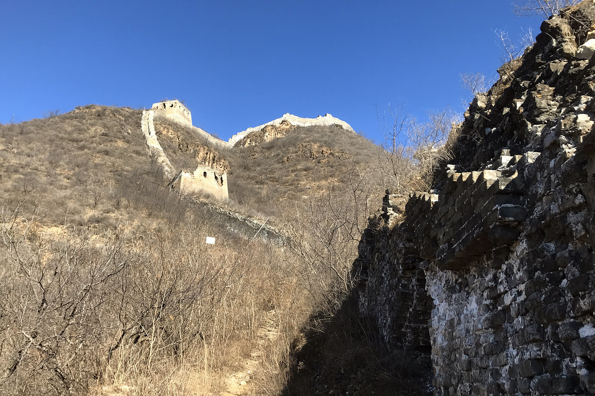
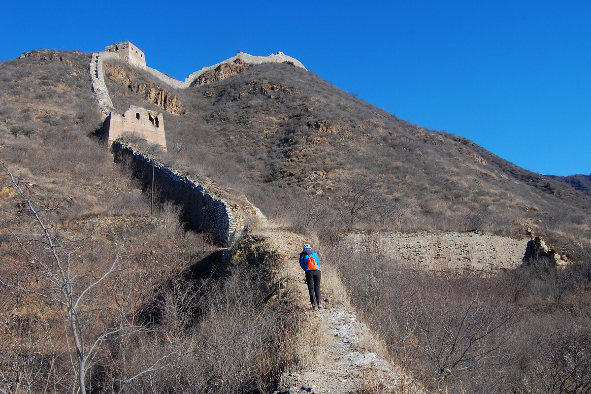
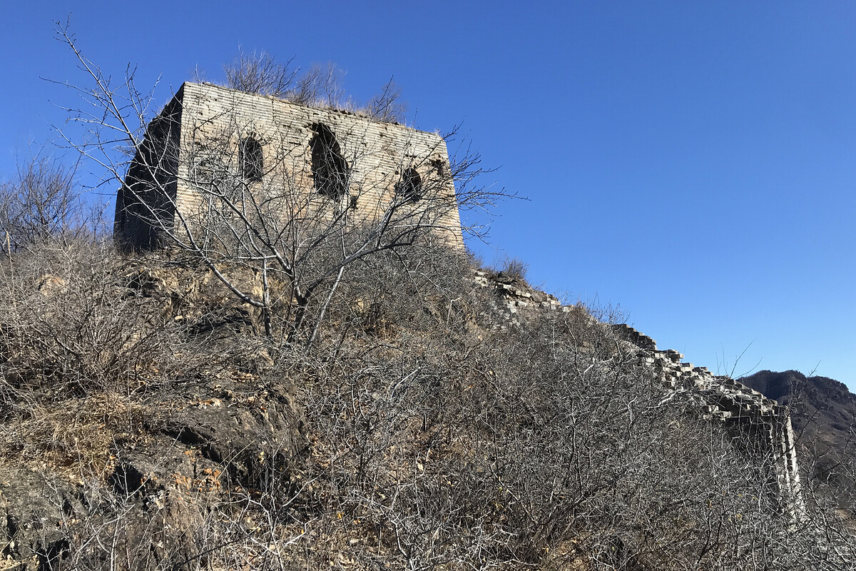
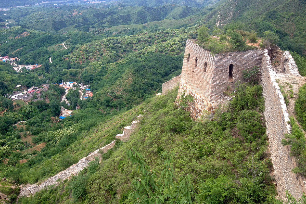
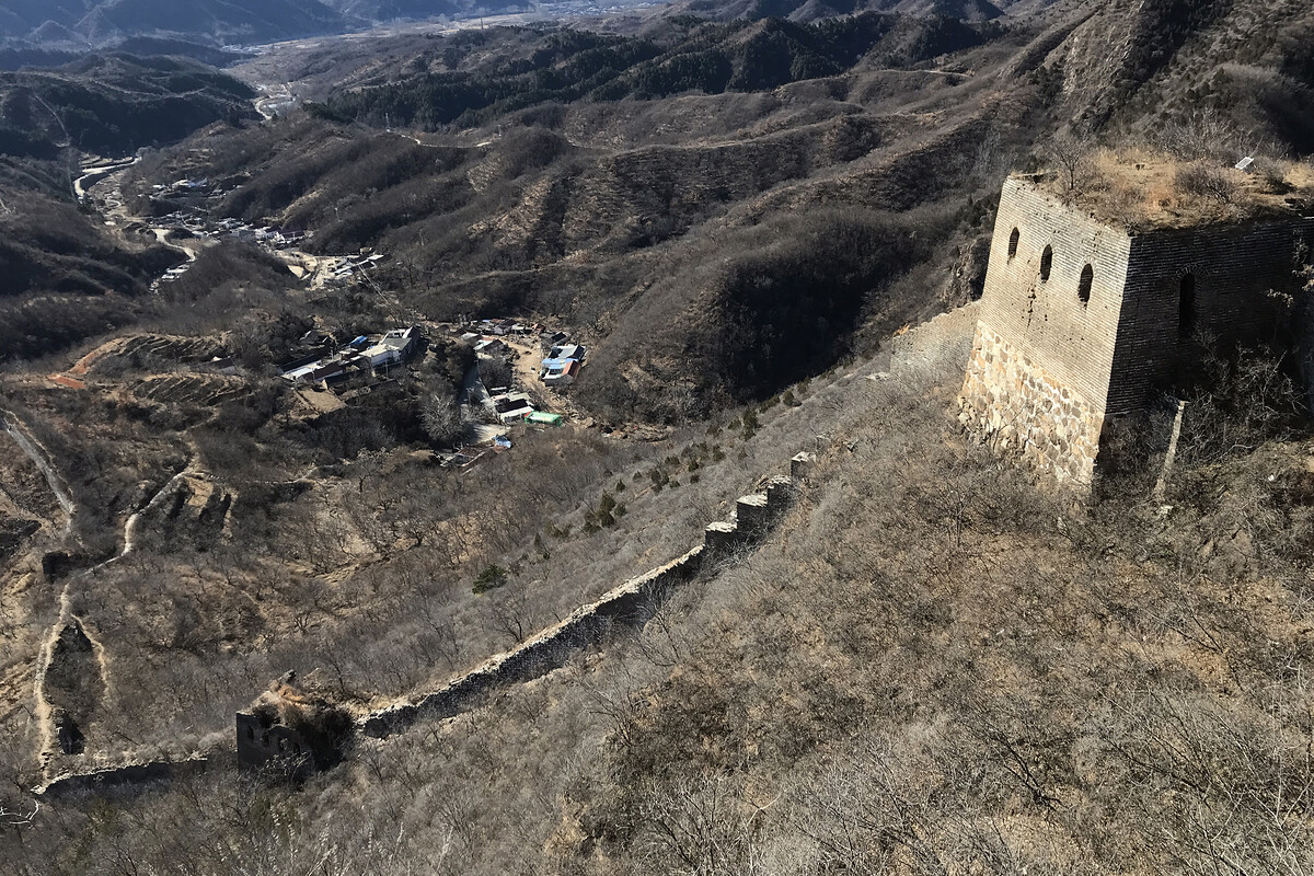
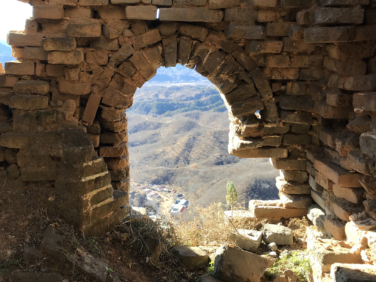
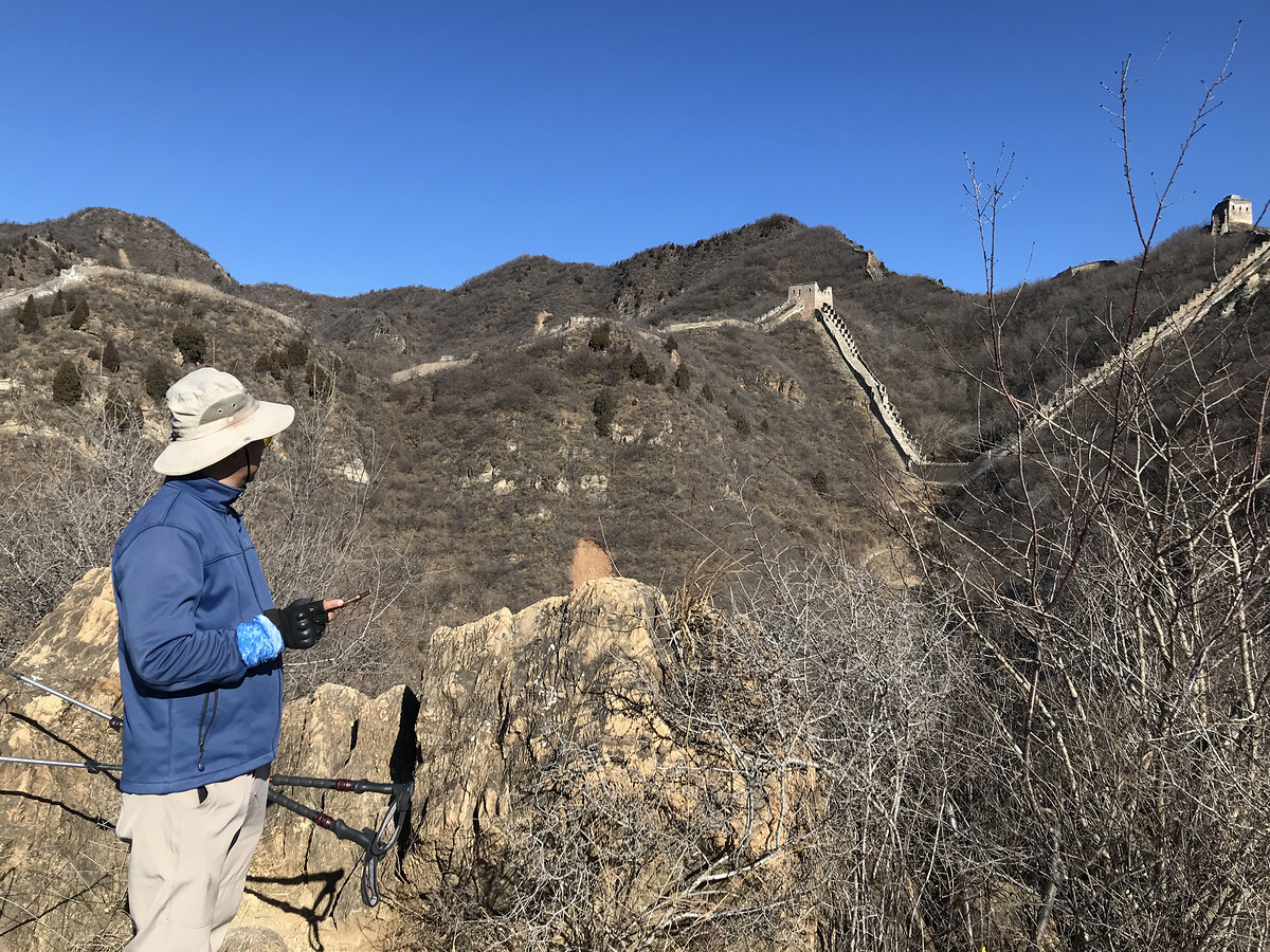
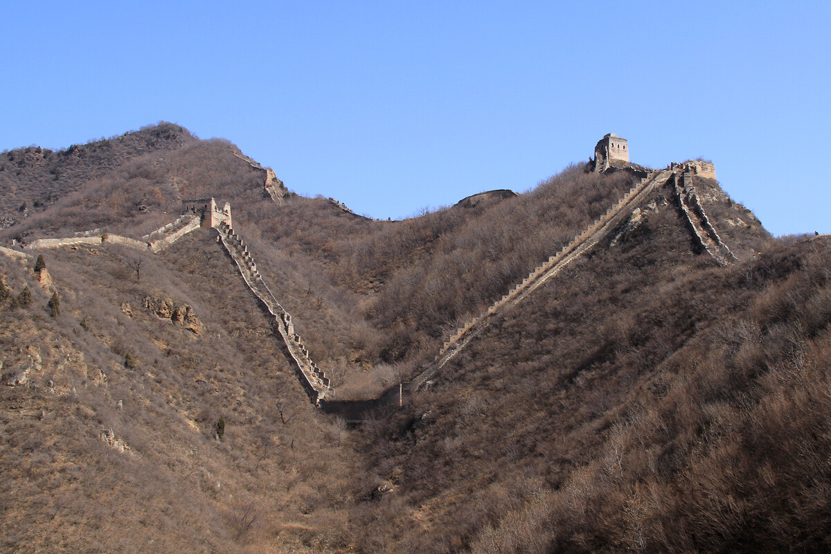
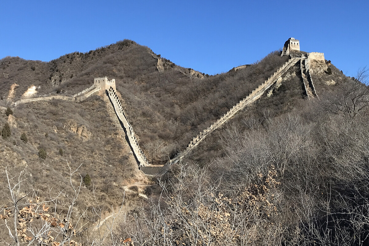
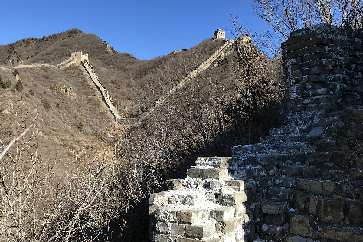
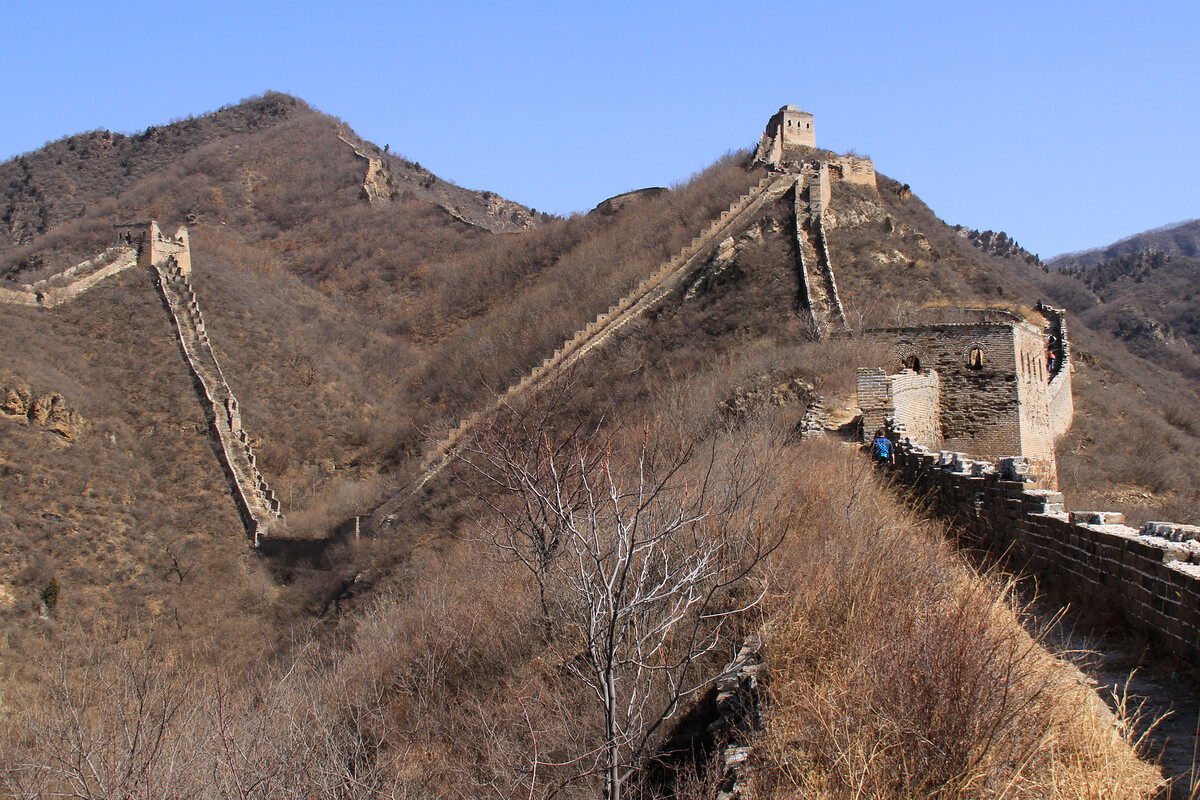
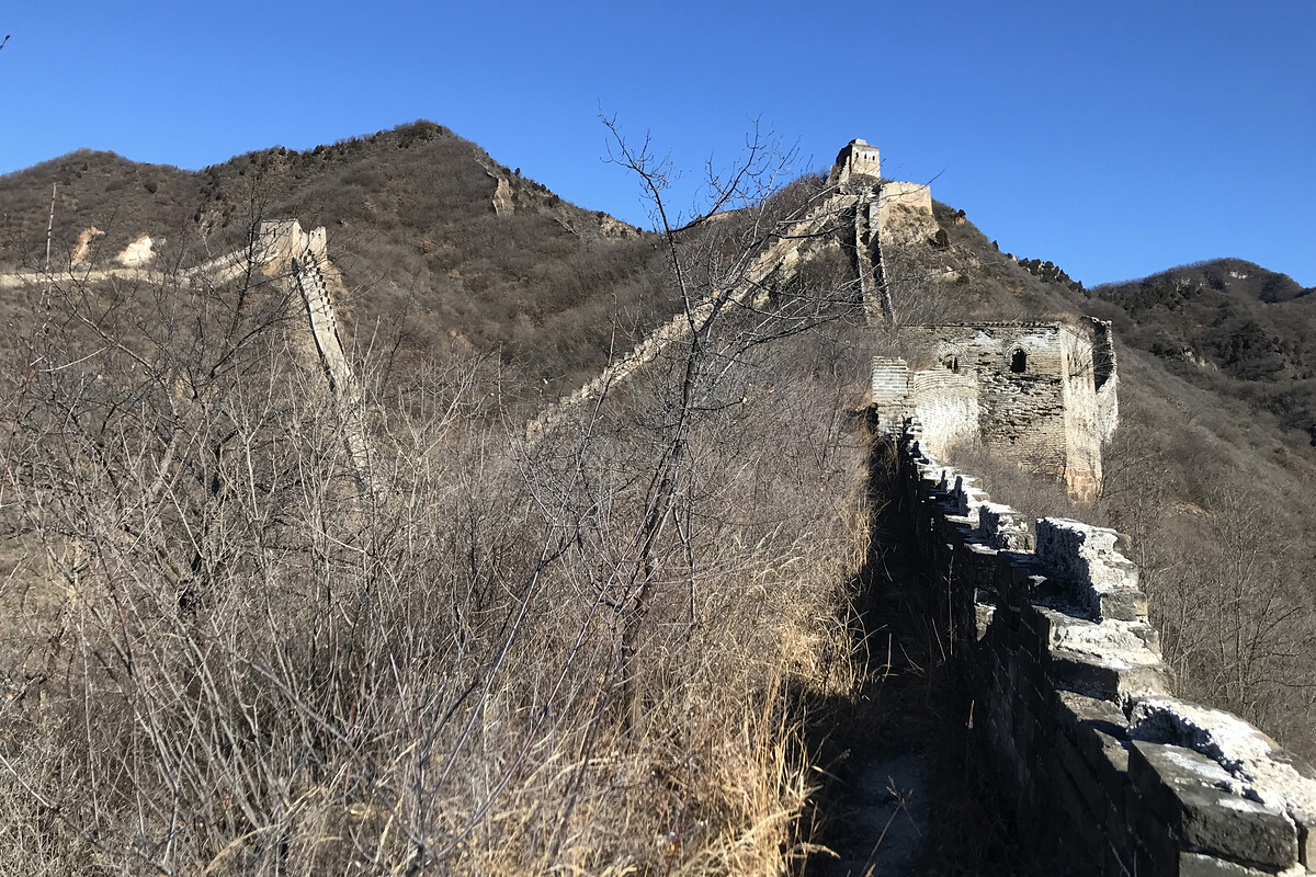
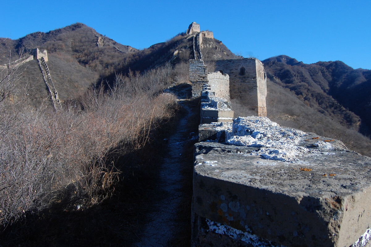
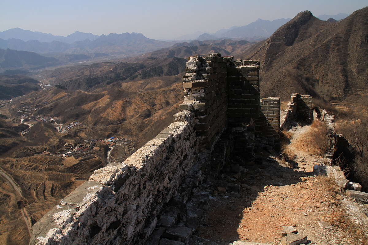
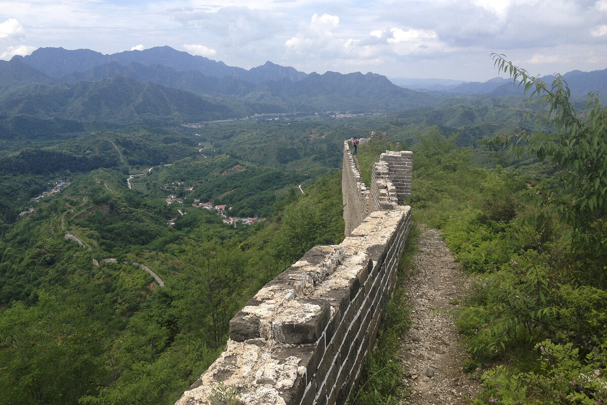
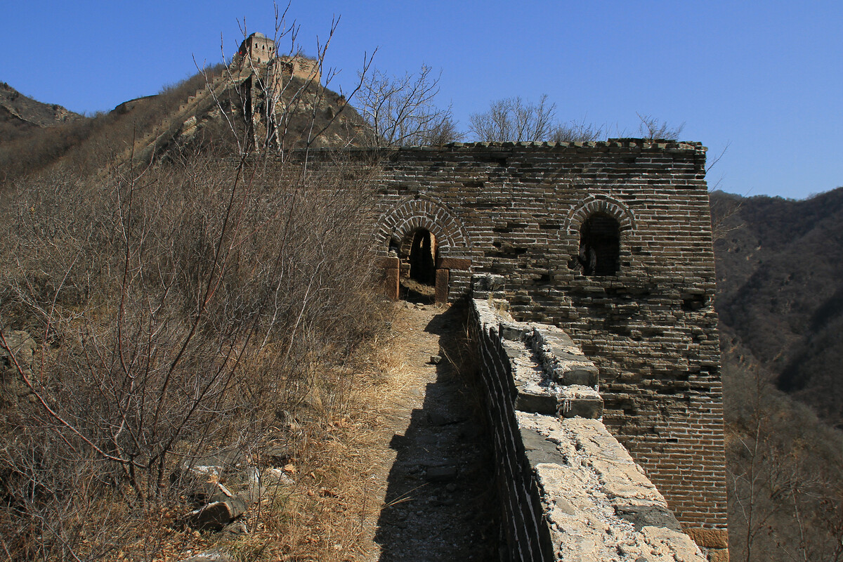
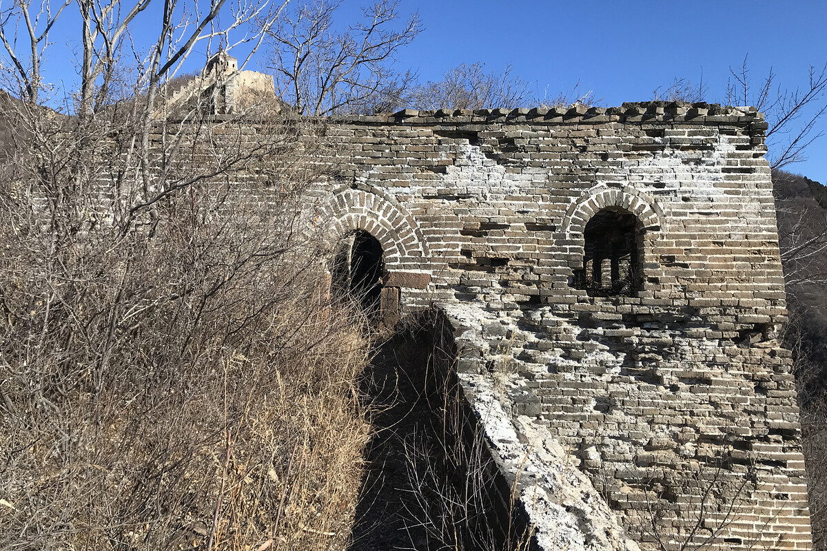
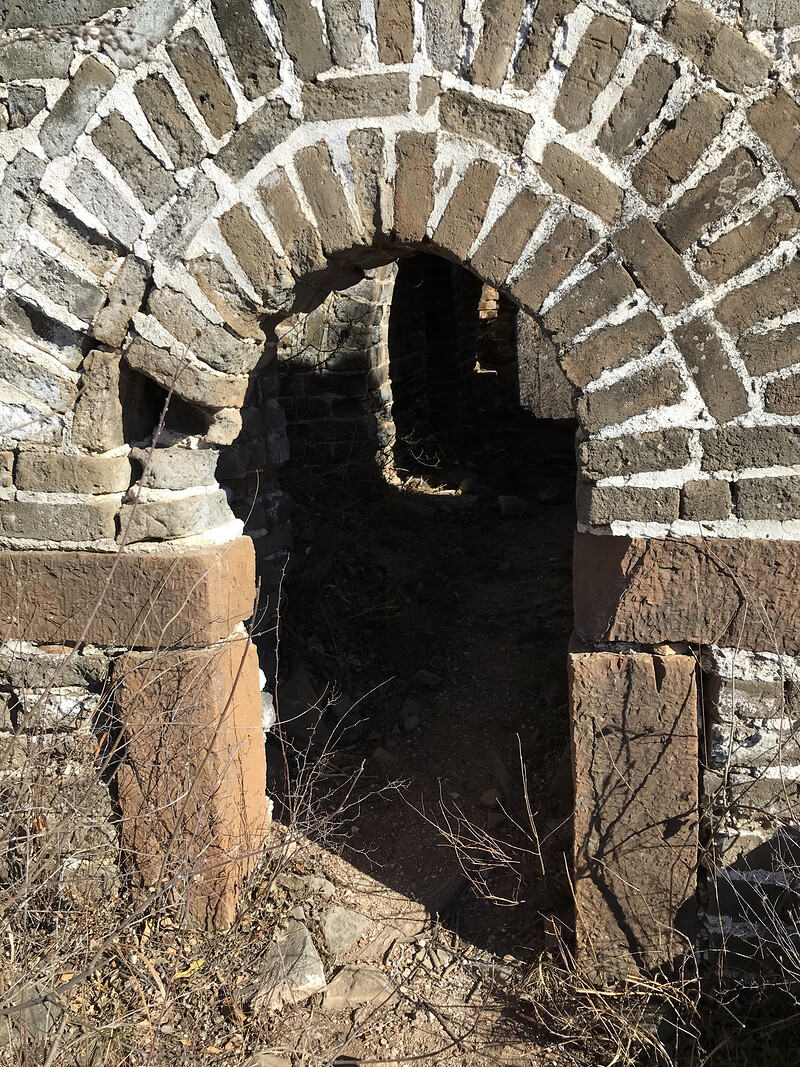
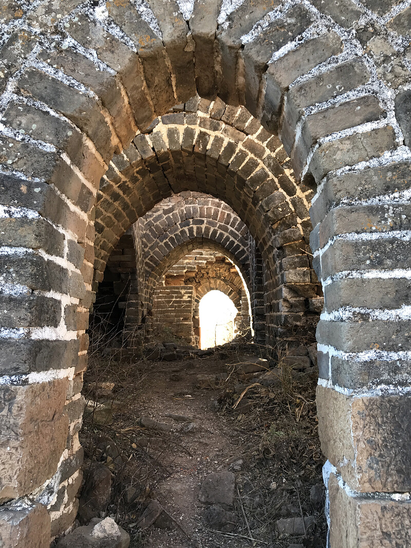
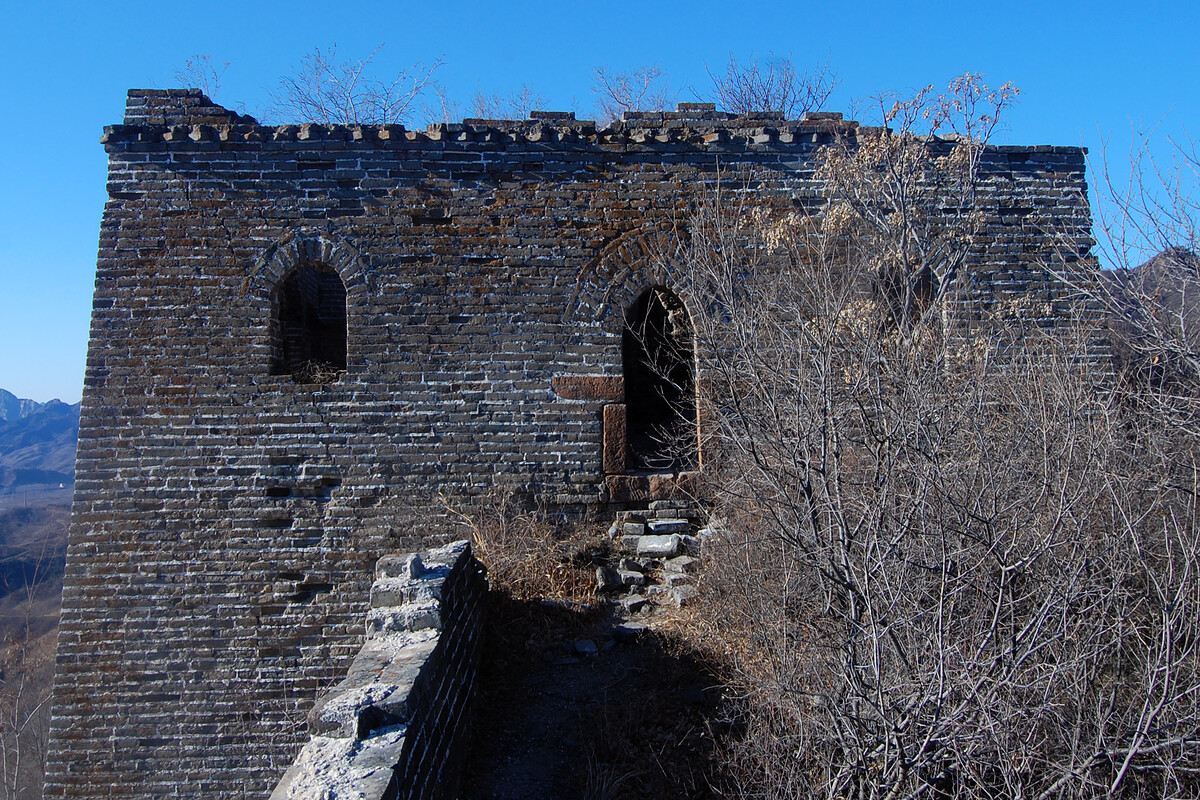
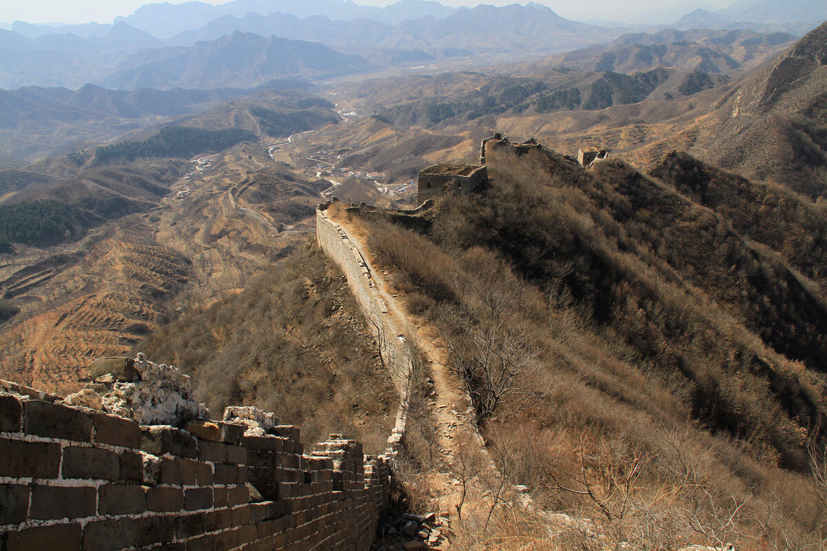
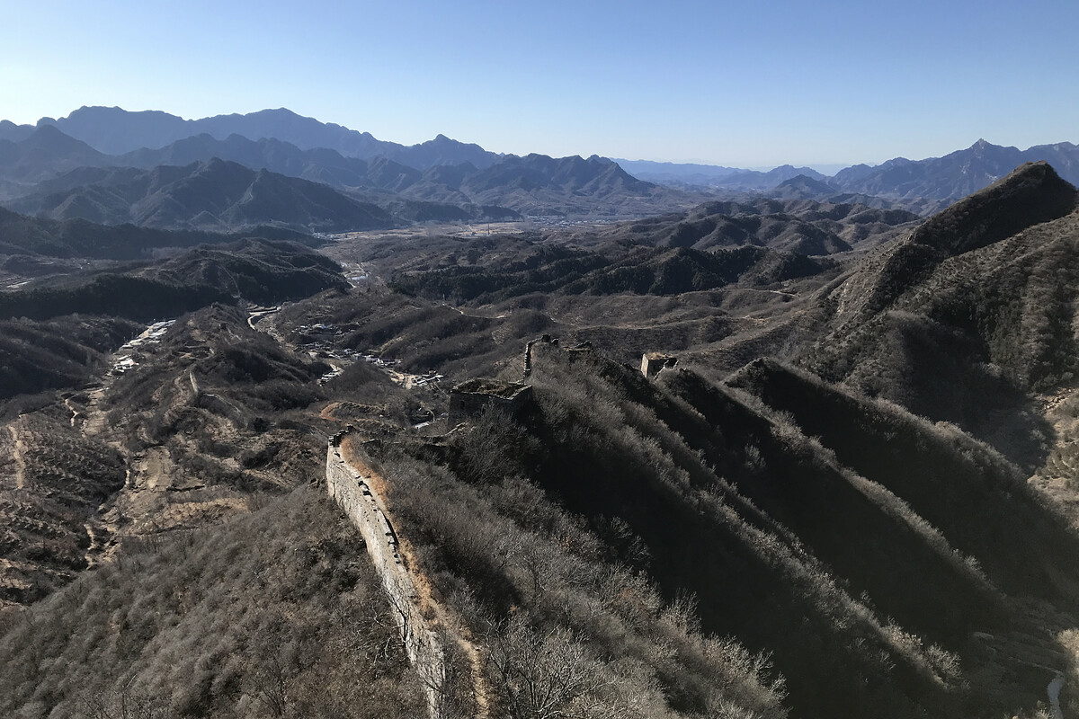
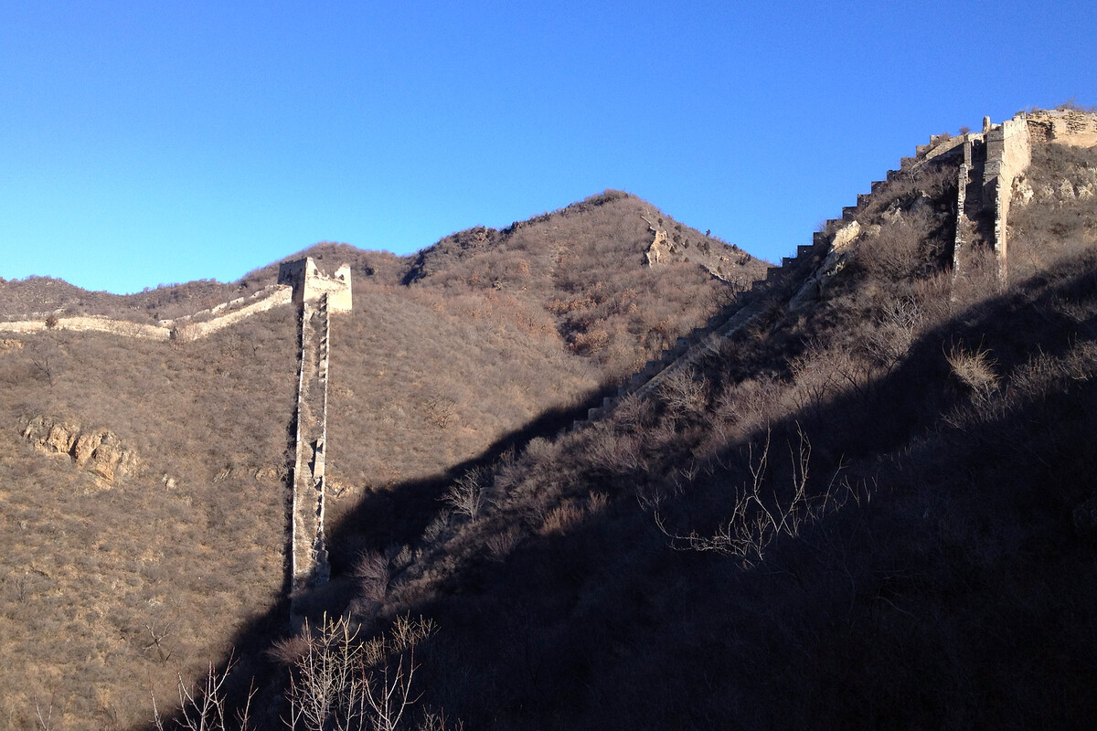
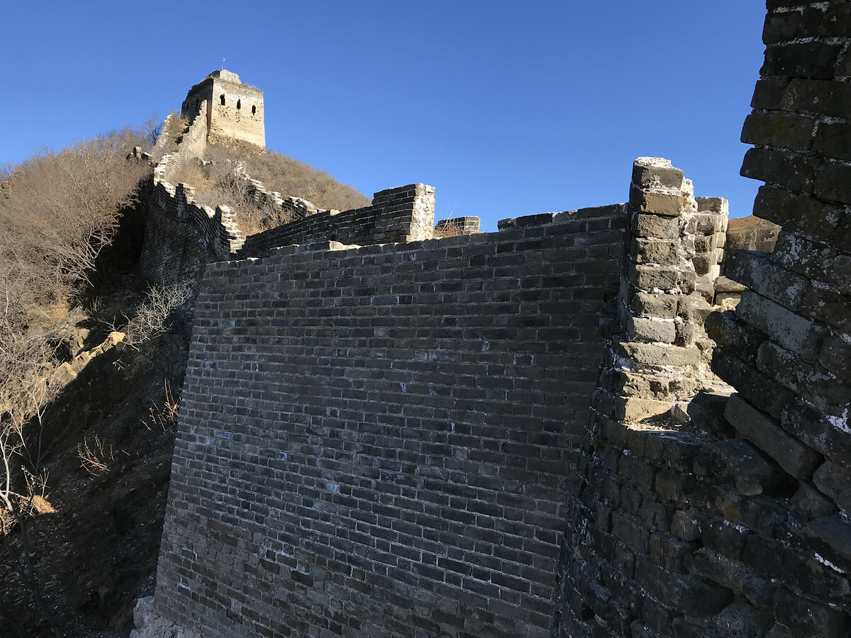
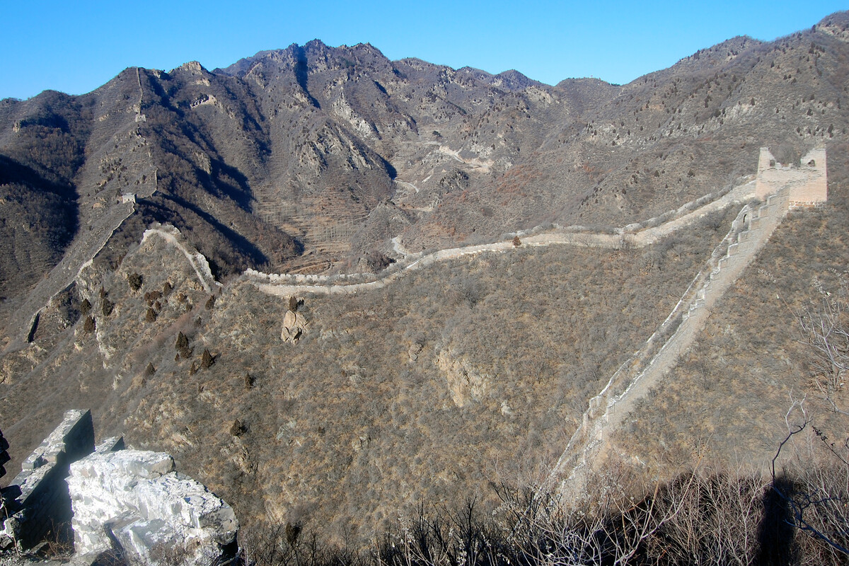
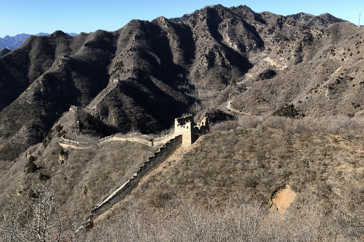
To the right of the tower in the preceding photo is a narrow track along the ridge that joins up with the wall near the top tower on the south side of the V. To me it seems it would have been easier to connect the wall that way, instead of building the big V. (Internet points are again available in return for an explanation.)
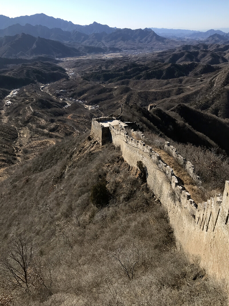

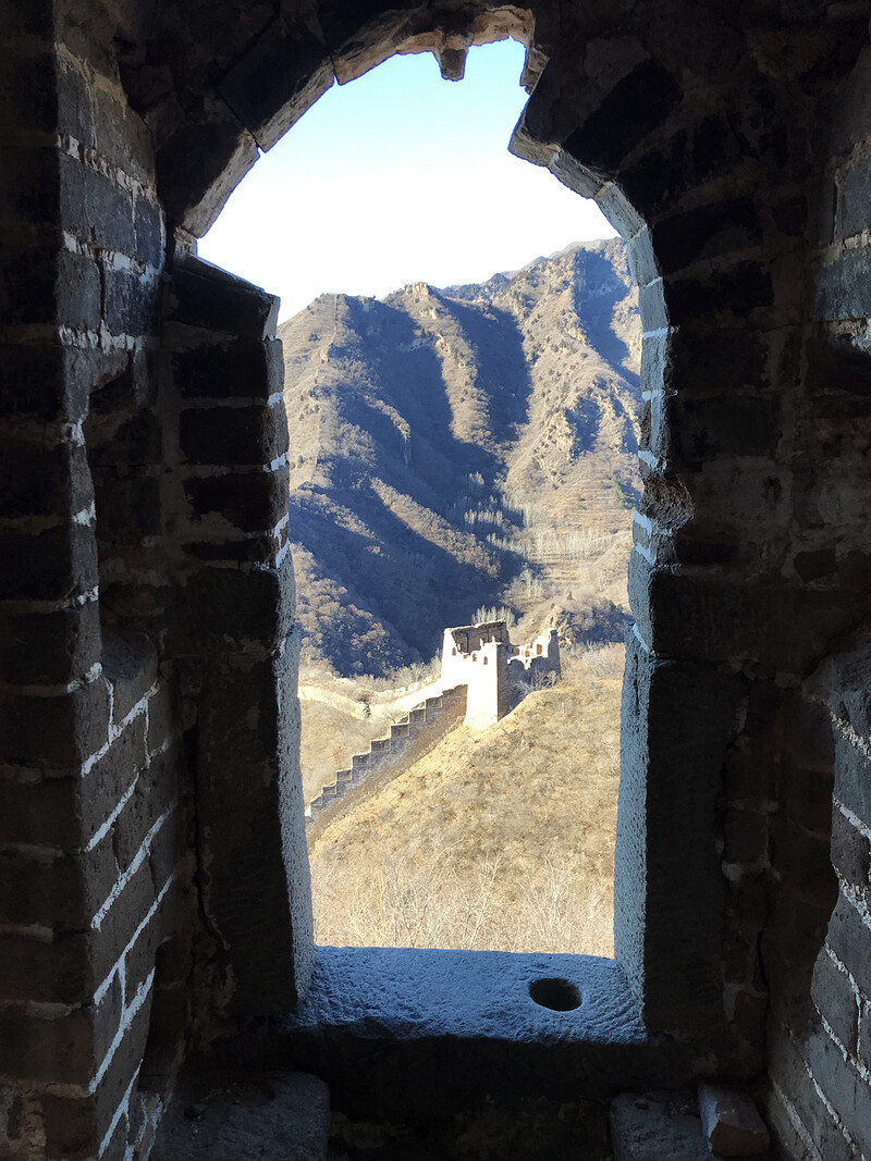
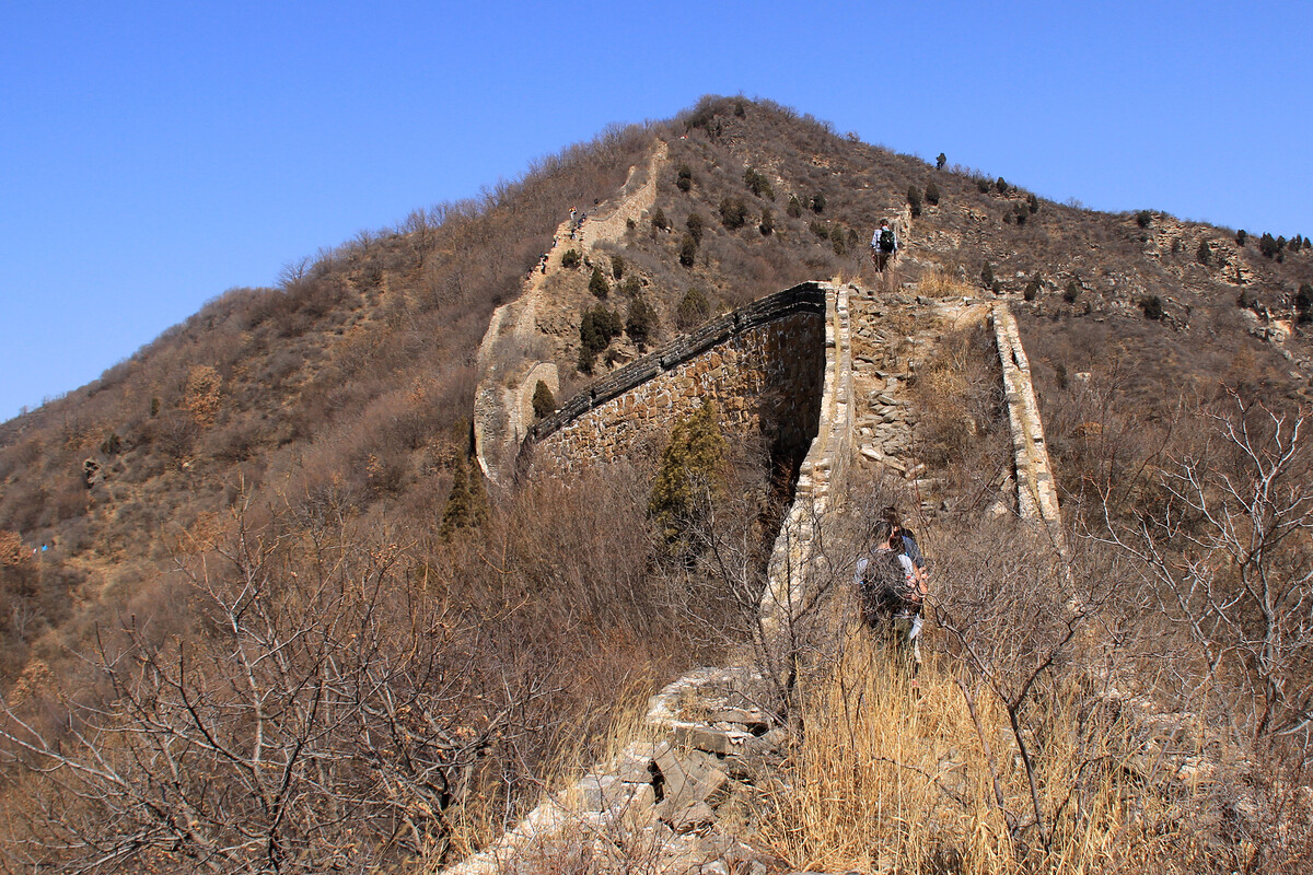
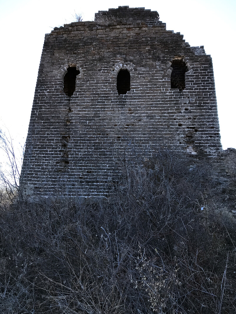
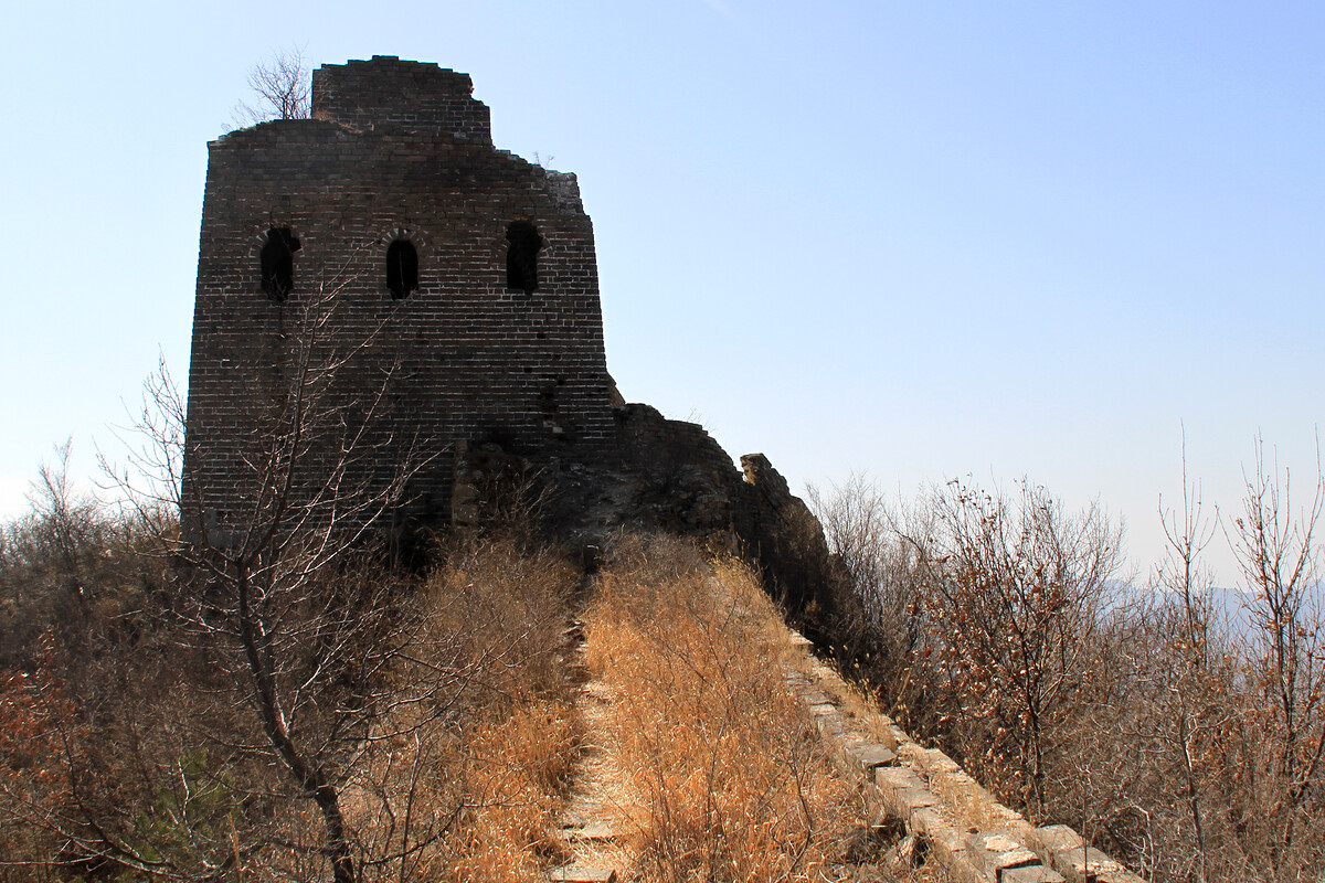
The narrow track that connects to the top of the north side of the V branches off just below the peak in the next photo.
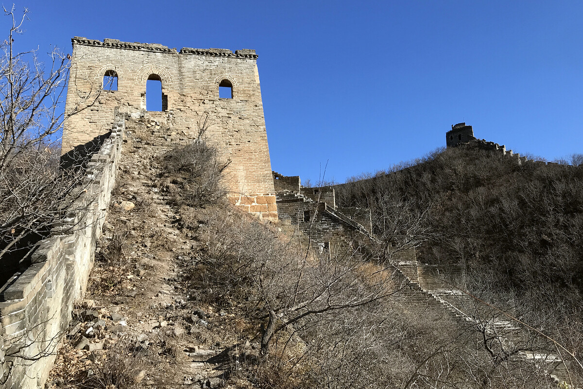
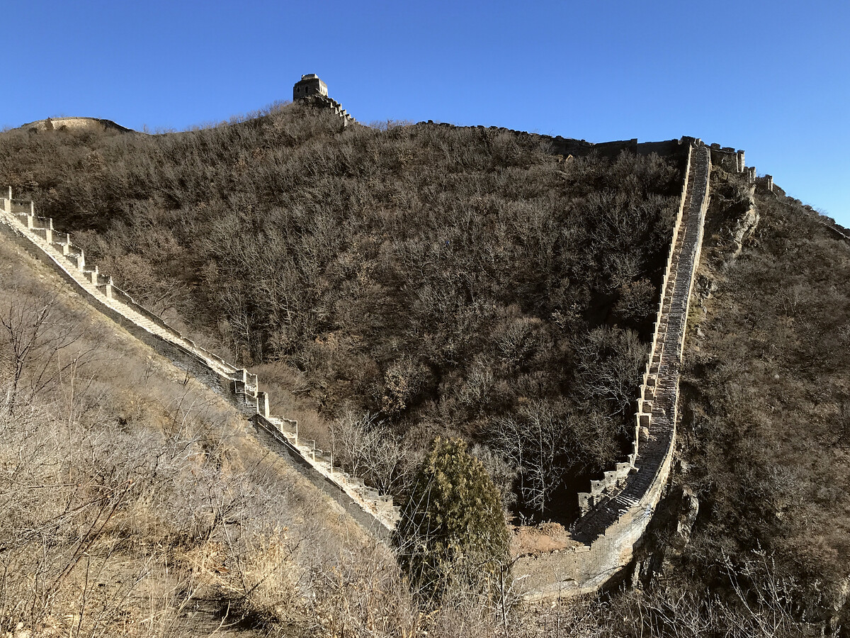
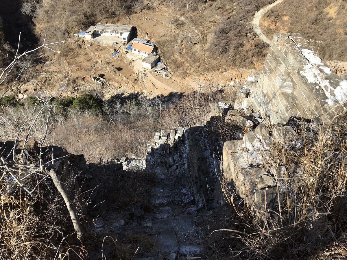
A short photographic detour to show some views from the bottom of the V …
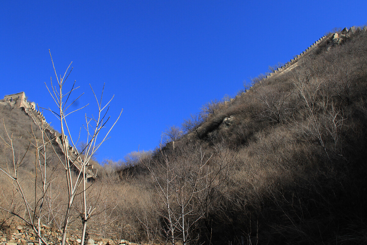
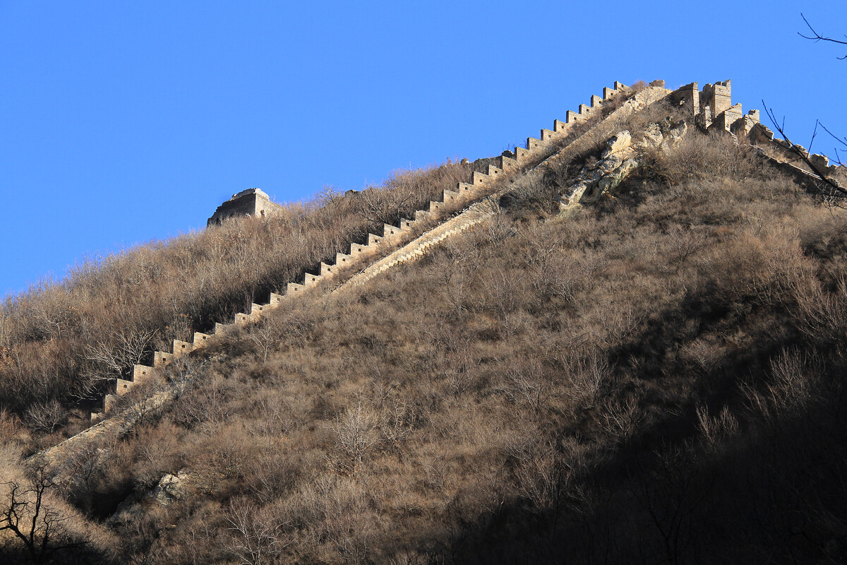
And back up on to the wall on the north side …
Other wall on the north side
The wall continues up into the mountains to the north of the V. Hiking up and over is on my to-do list.
After coming down from the V a village road leads down to Jiacheng Valley.
Great Wall in the lower hills between Jiacheng Valley and Kongtai Villages
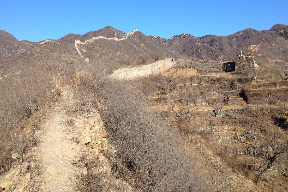
The road to the car park/town square of Jiacheng Valley village cuts through the wall, and to get to the wall from the road it’s an easy climb up through a hawthorn orchard.
I don’t have many older photos from this part of the wall, probably because on previous visits I was trying to not get lost leading a hiking group and/or fighting jujube thorns.
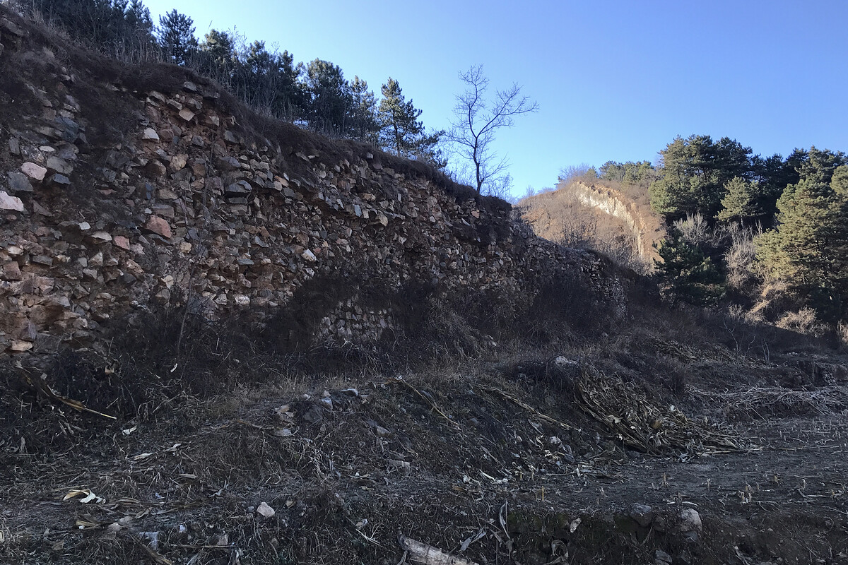


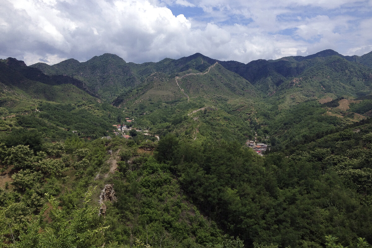
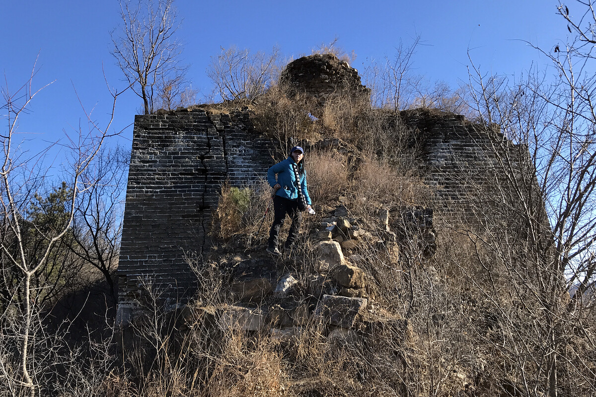
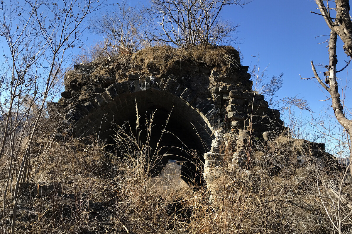
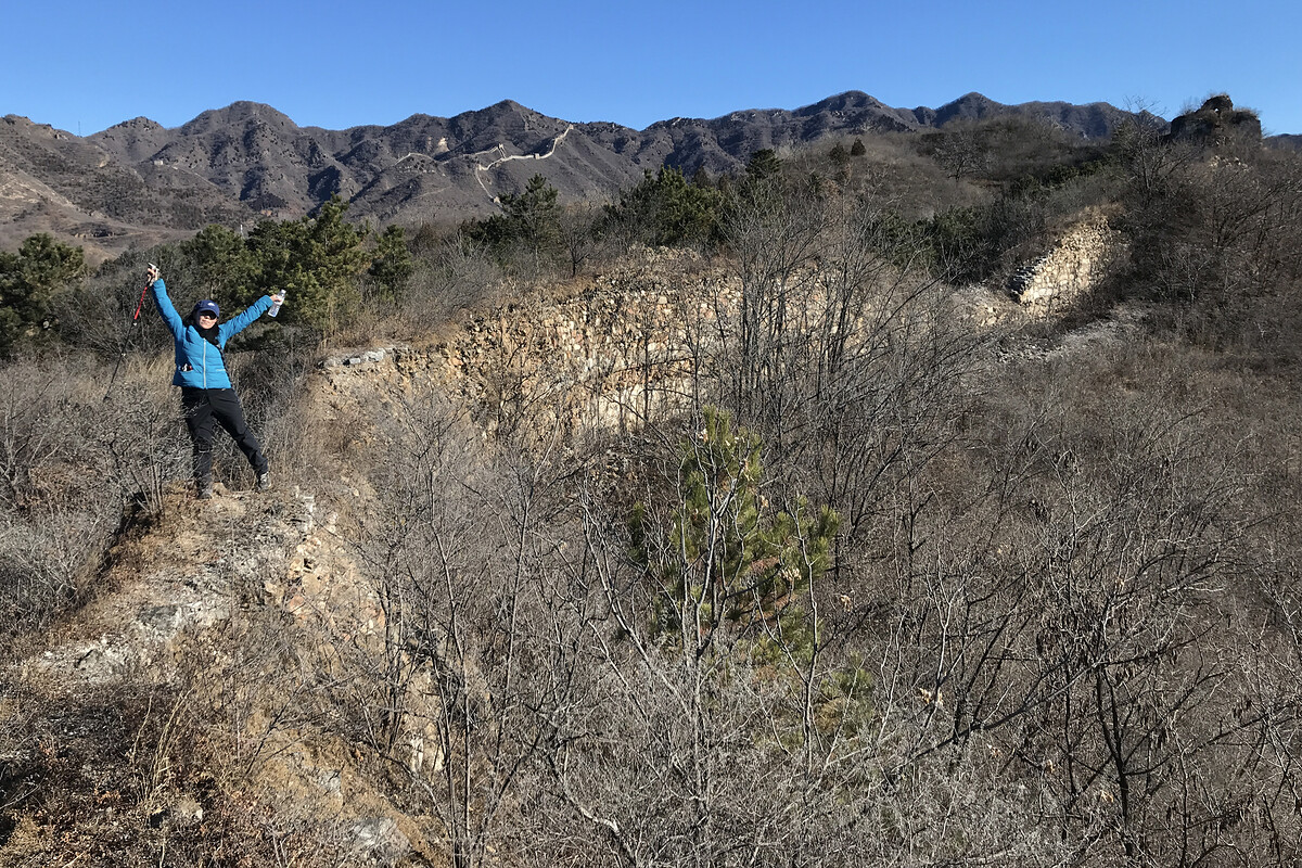
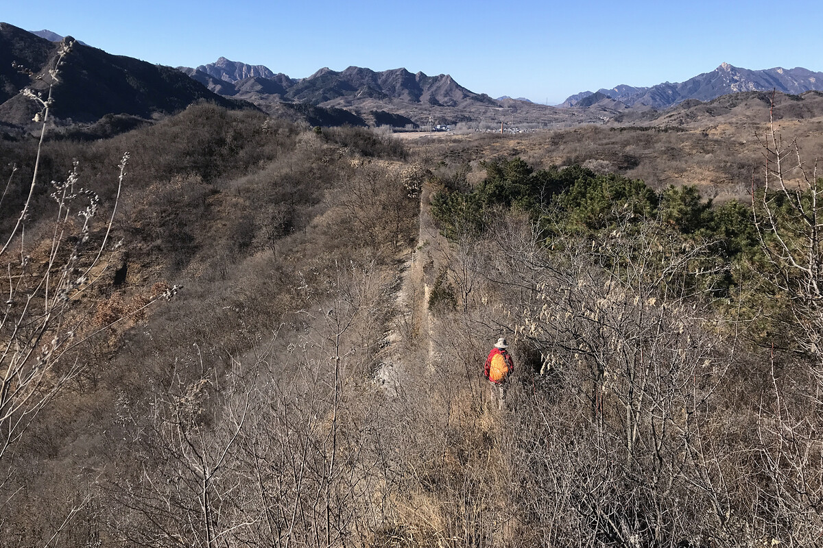
The wall continues along the ridge and then down to another road. We didn’t go that way on the 2025 visit, instead sliding down a rough track into chestnut orchards. In winter it’s easy enough to continue along the wall, but in summer the trail ends up covered by freshly-grown foliage and thorns.
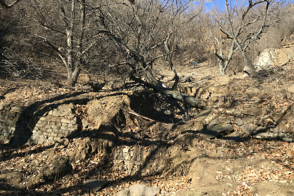
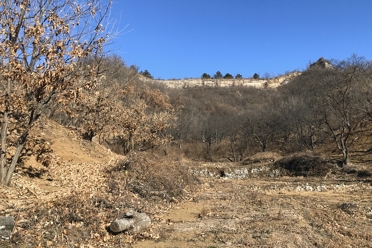
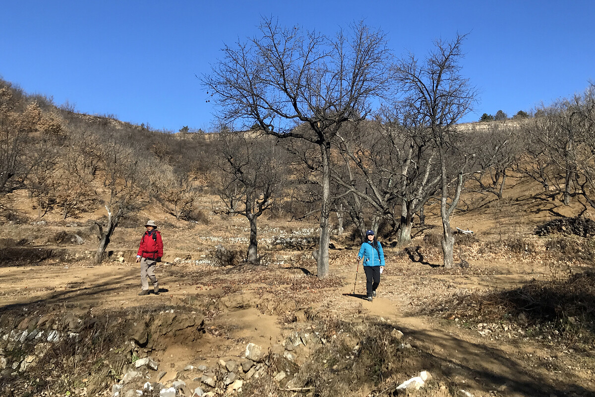
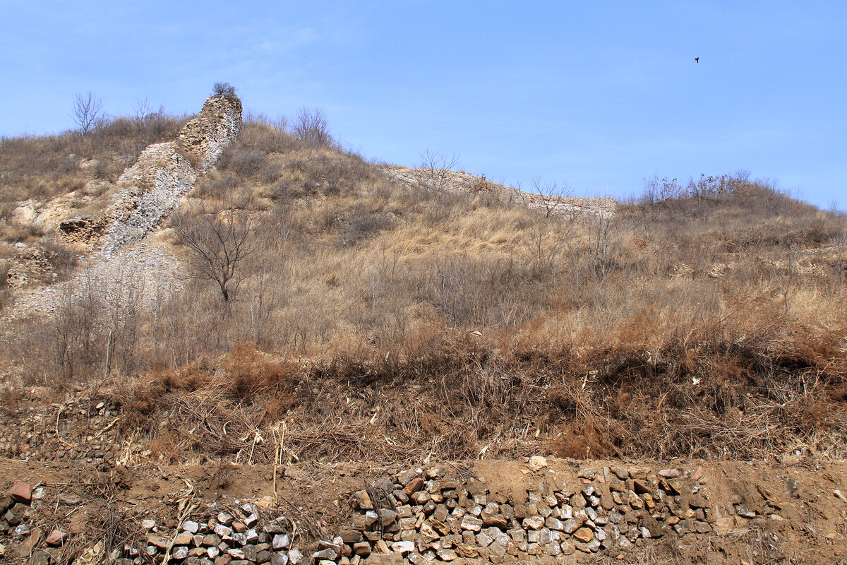
The next section of photos shows scenes from Lower Kongtai Village. Upper Kongtai and Lower Kongtai are not large settlements—maybe 10–20 houses in each.
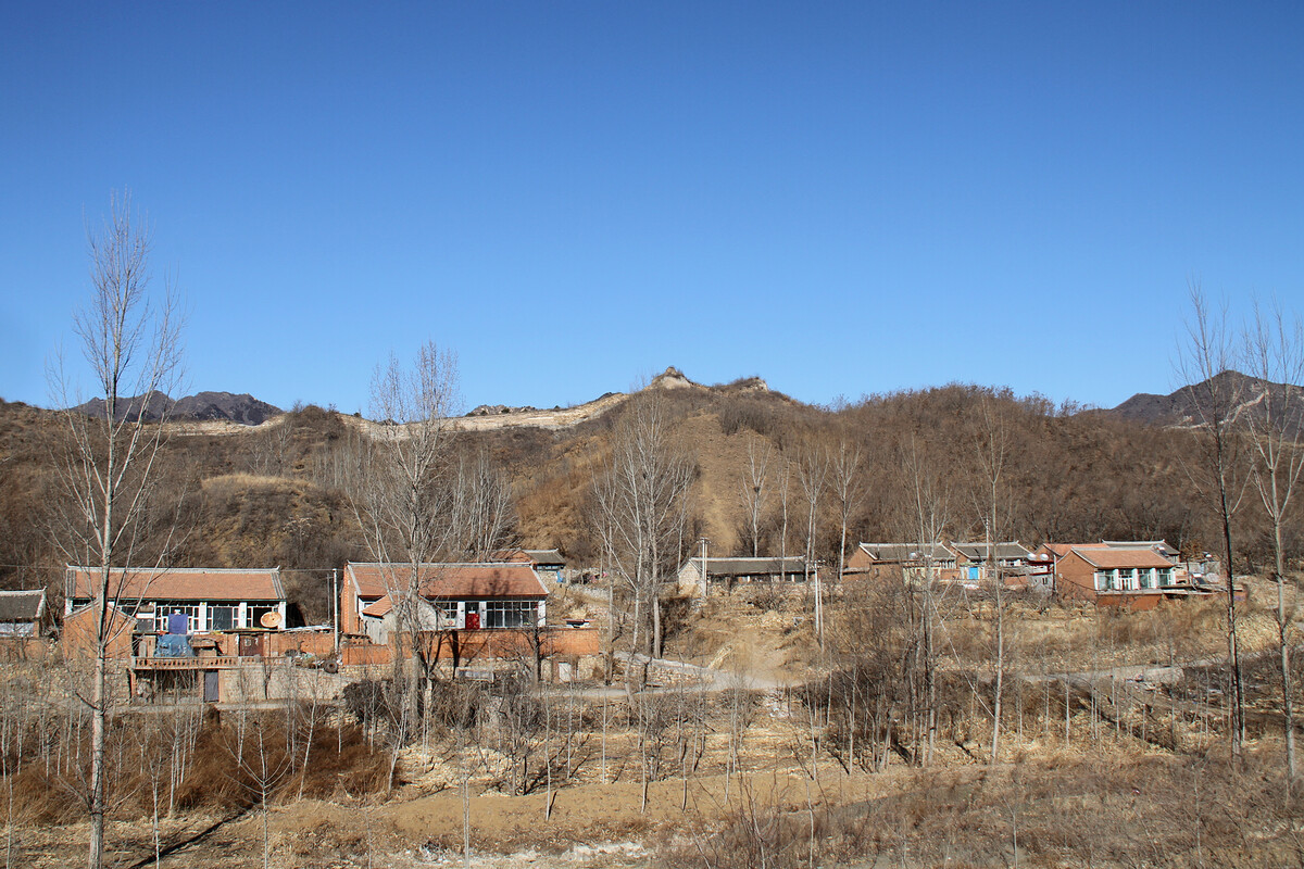
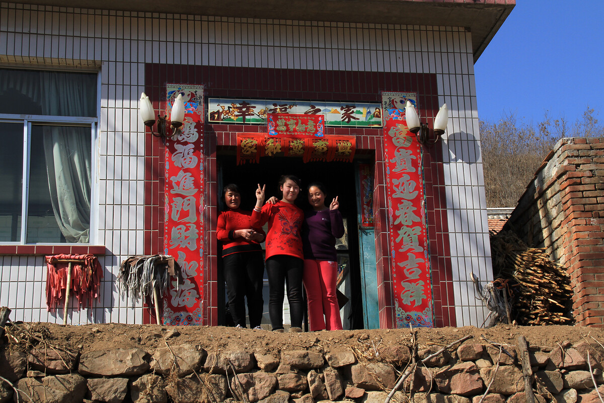

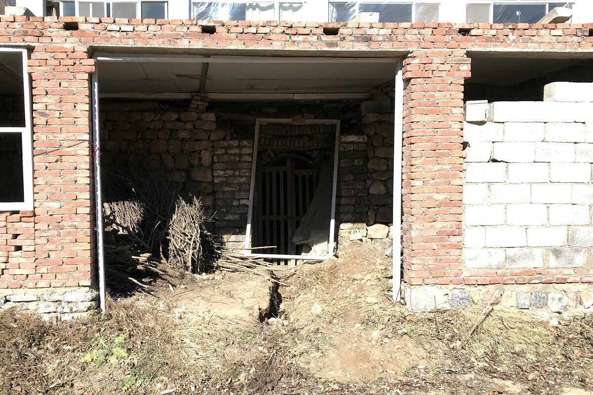
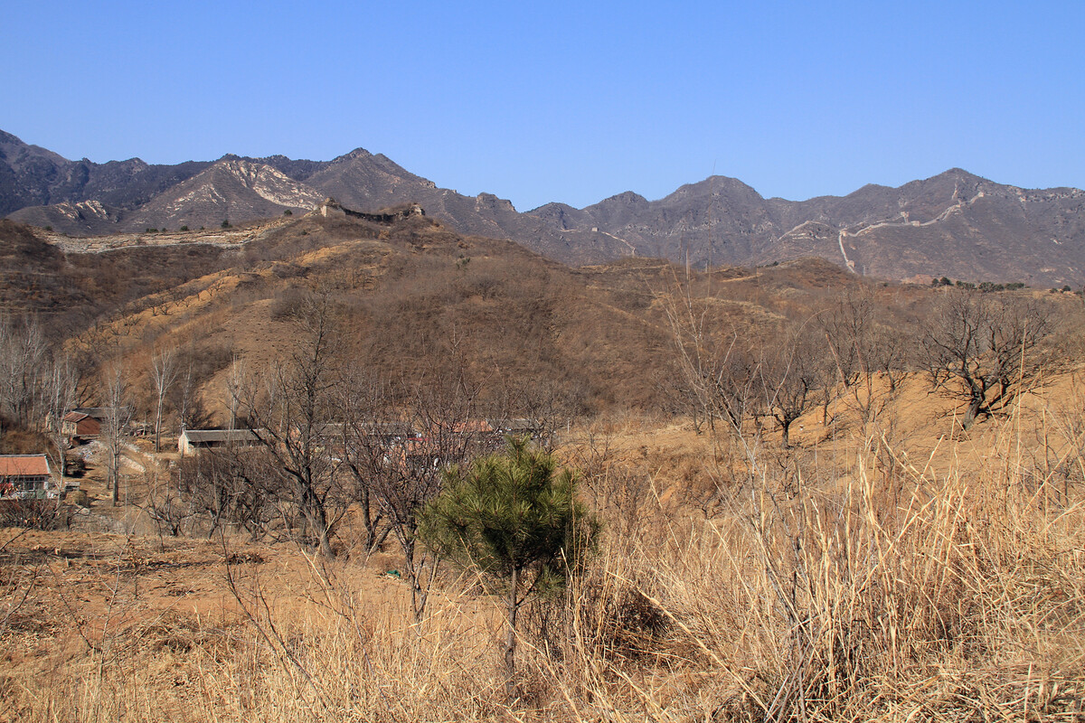
Great Wall on the cliffs above the river
From Lower Kongtai Village a track leads up to the wall and towers on the cliffs above the river. When we first hiked here the track was still in good condition. One of the villagers told us that it was the fastest way for them get to the bus stop on the main road.
Over the years the track fell out of use, and by 2016 the last part of the track would lead you into the middle of a forest of thorns and then just vanish. And not normal thorns, either—huge thorns, like shark’s teeth, all over the trunks and branches of gnarled and scraggly trees.
In 2016 it was still possible to pick a path through the thorn vortex, and once you’d blundered your way into the chestnut orchards near the railway you’d be back on track.
But when we visited in 2025 the previously-clear upper section of the trail was fully overgrown, and we didn’t even attempt a short look at the trail conditions further down. Instead, we continued along the wall to see if the trail that way might be nicer. It was nicer, aside from the section with exposure to a fall down the cliffs. No thorn vortexes either, but we did have to pick our way through a deadfall that had blocked the path back to the village road.
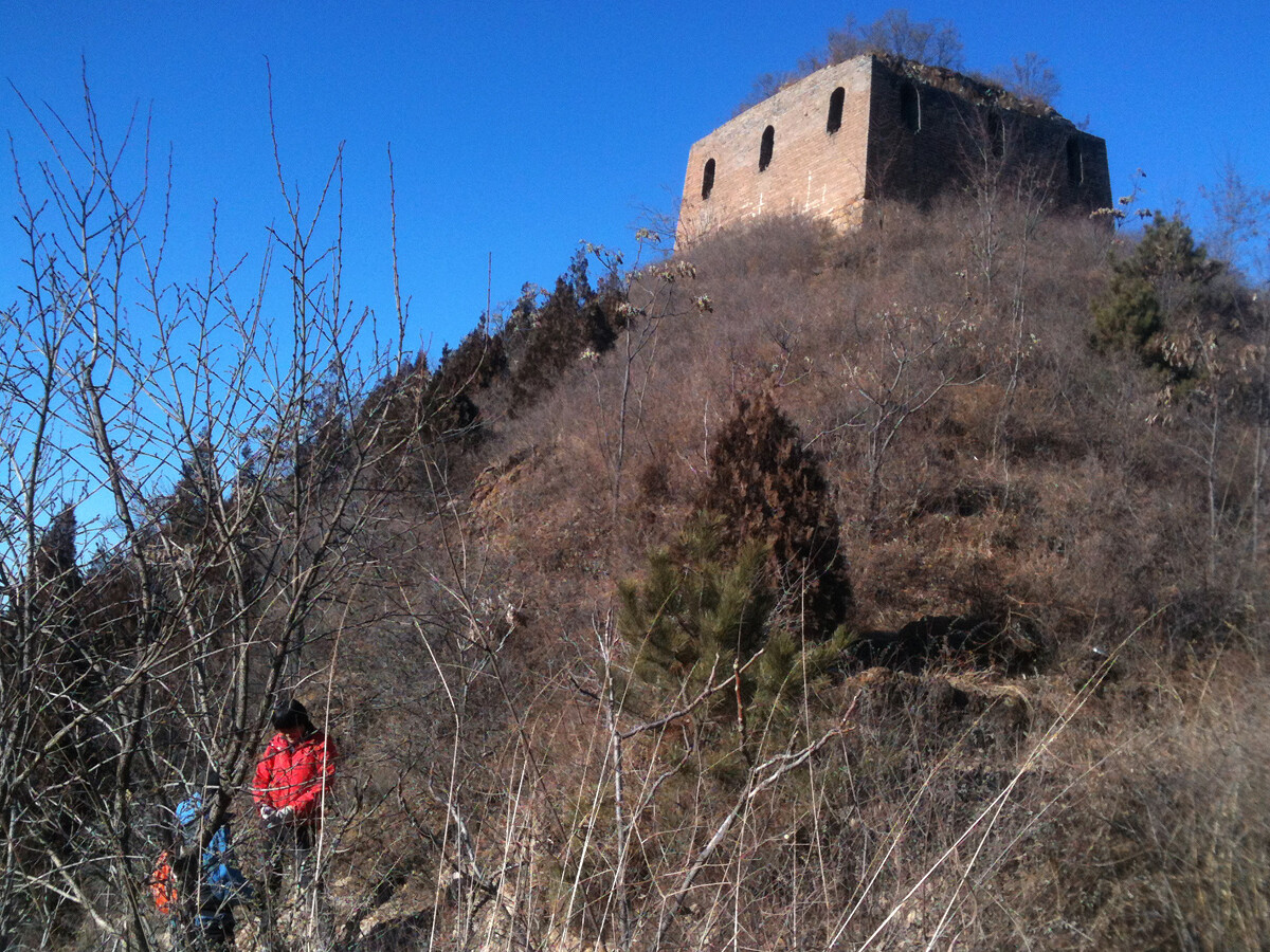
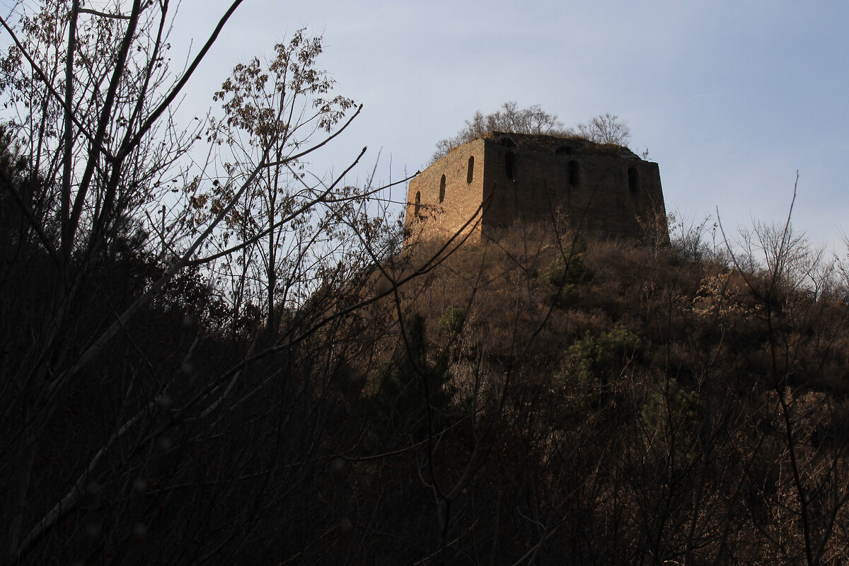
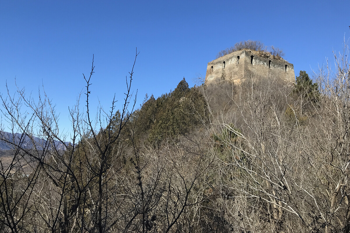
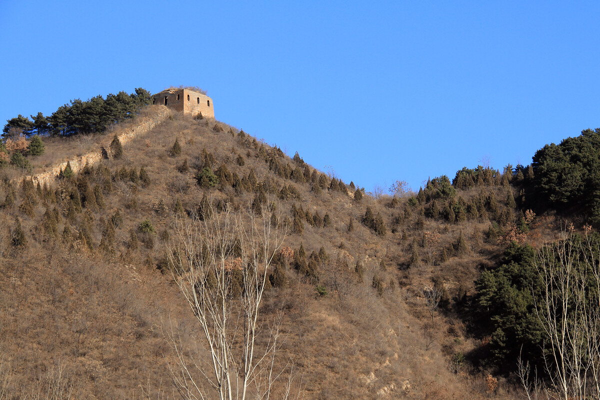
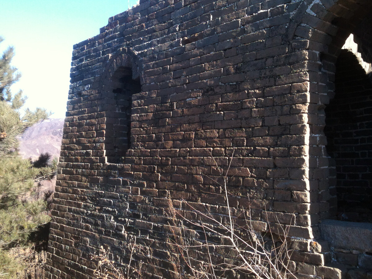
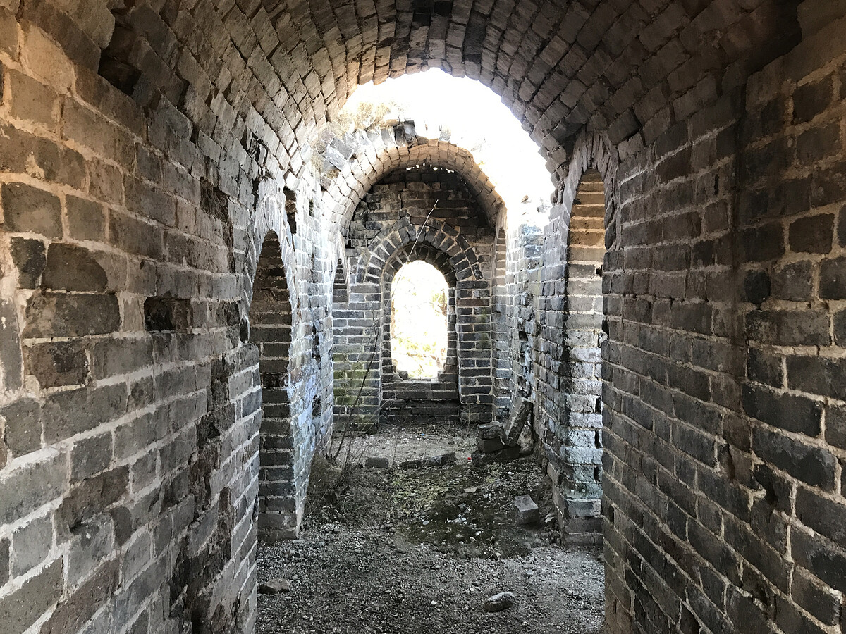
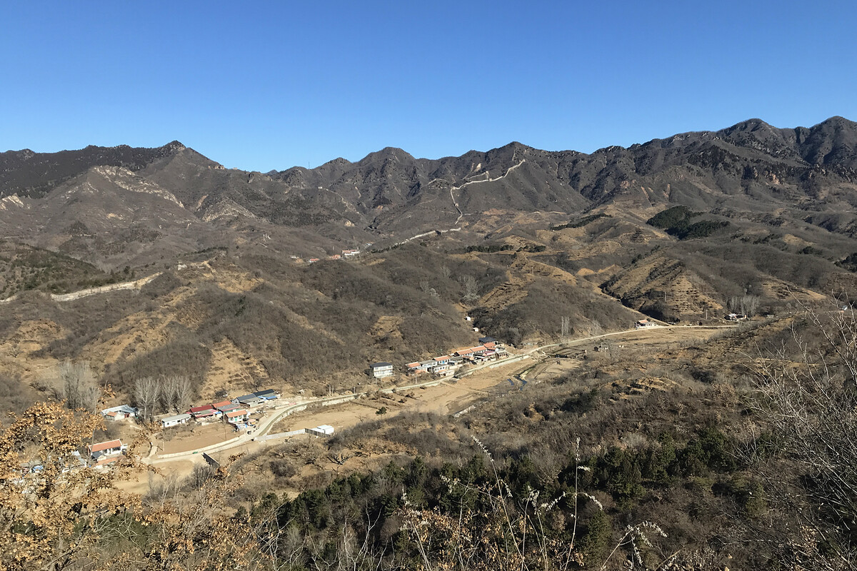
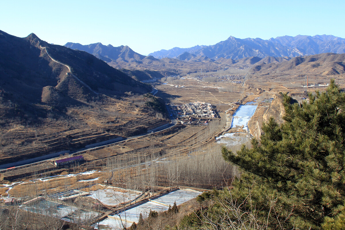
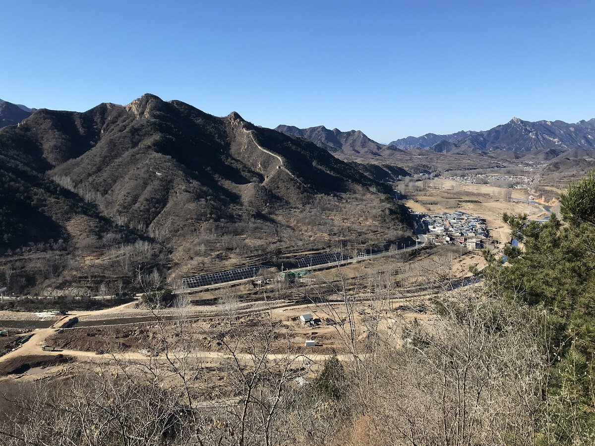
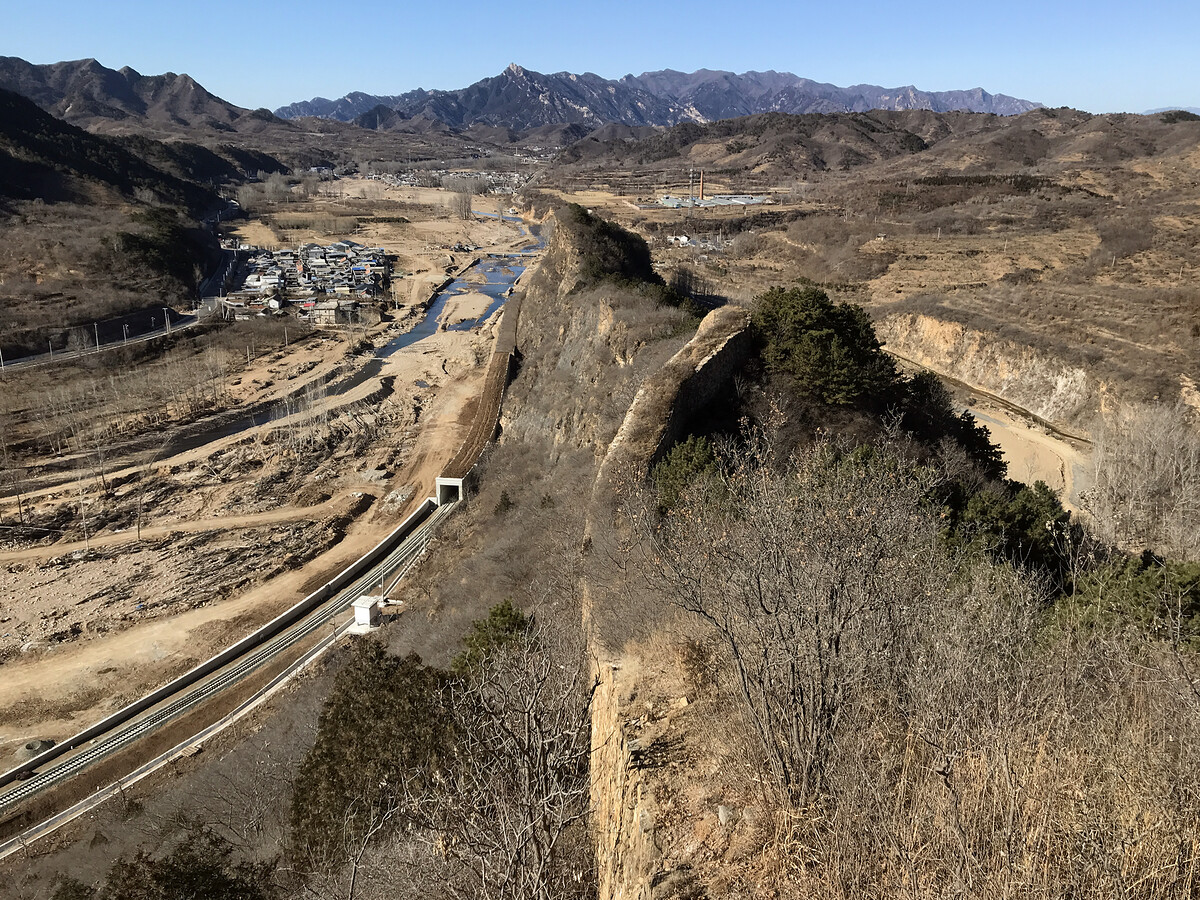
The preceding photos show how the fort was positioned to block the narrowest part of the river valley—Great Wall and mountains on the south side, a river and tall cliffs on the north side, with the fort controlling the flat ground in the middle.
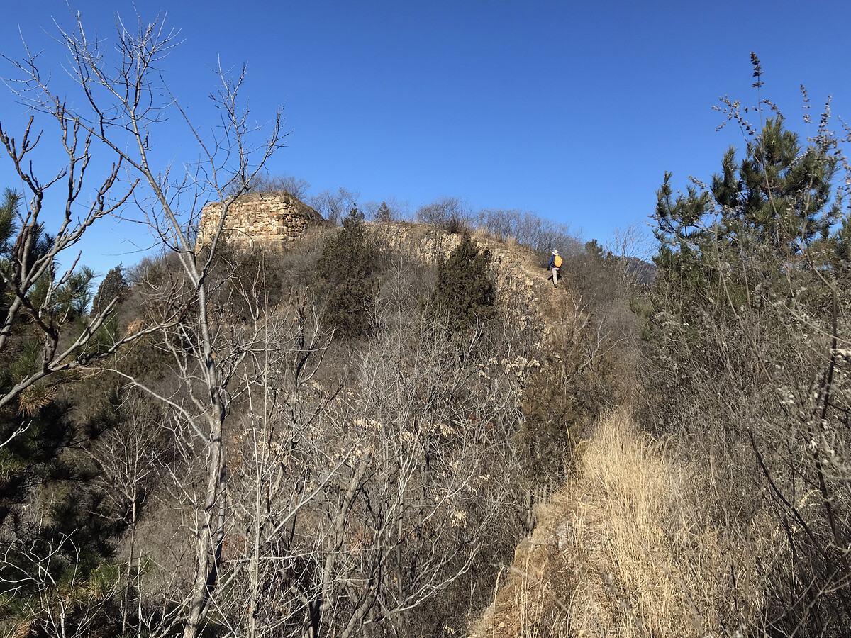
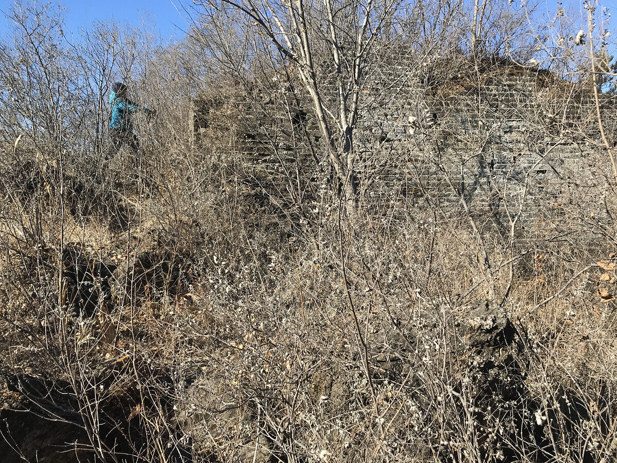
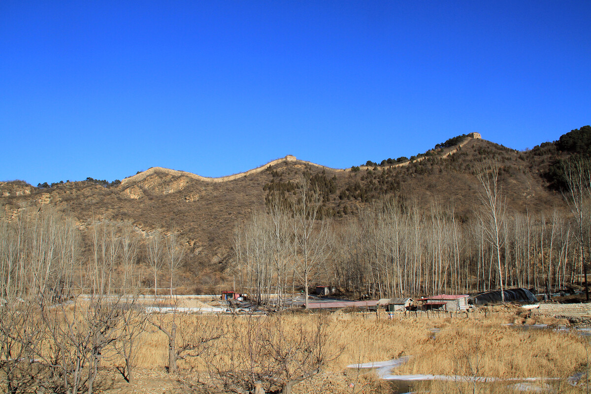
Guanshang Fort
I don’t have many photos from the fort.
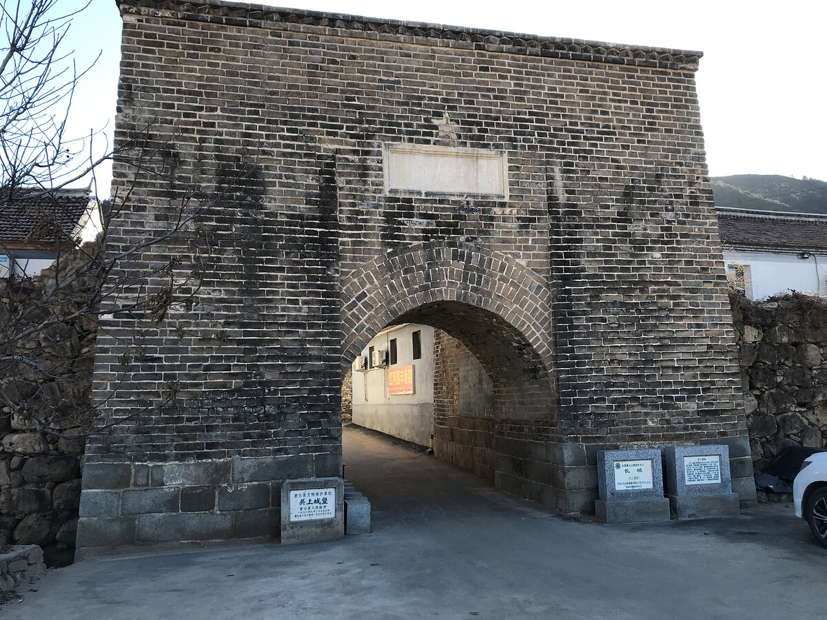
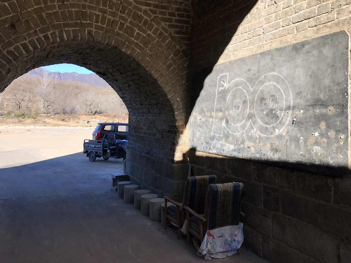
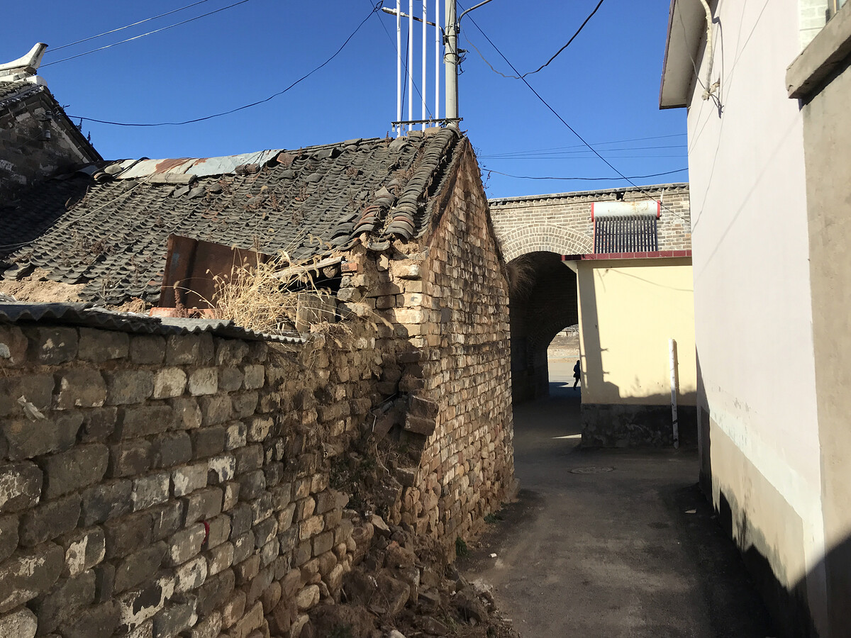
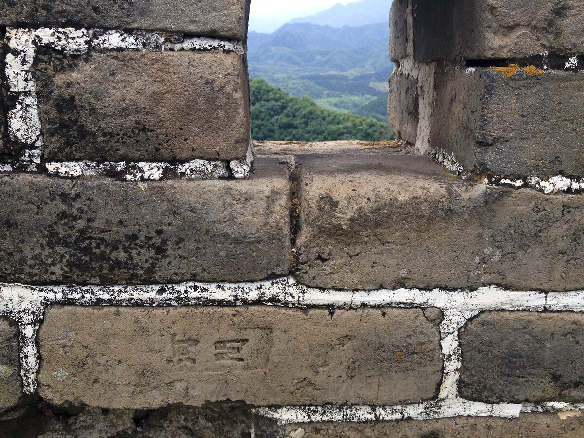
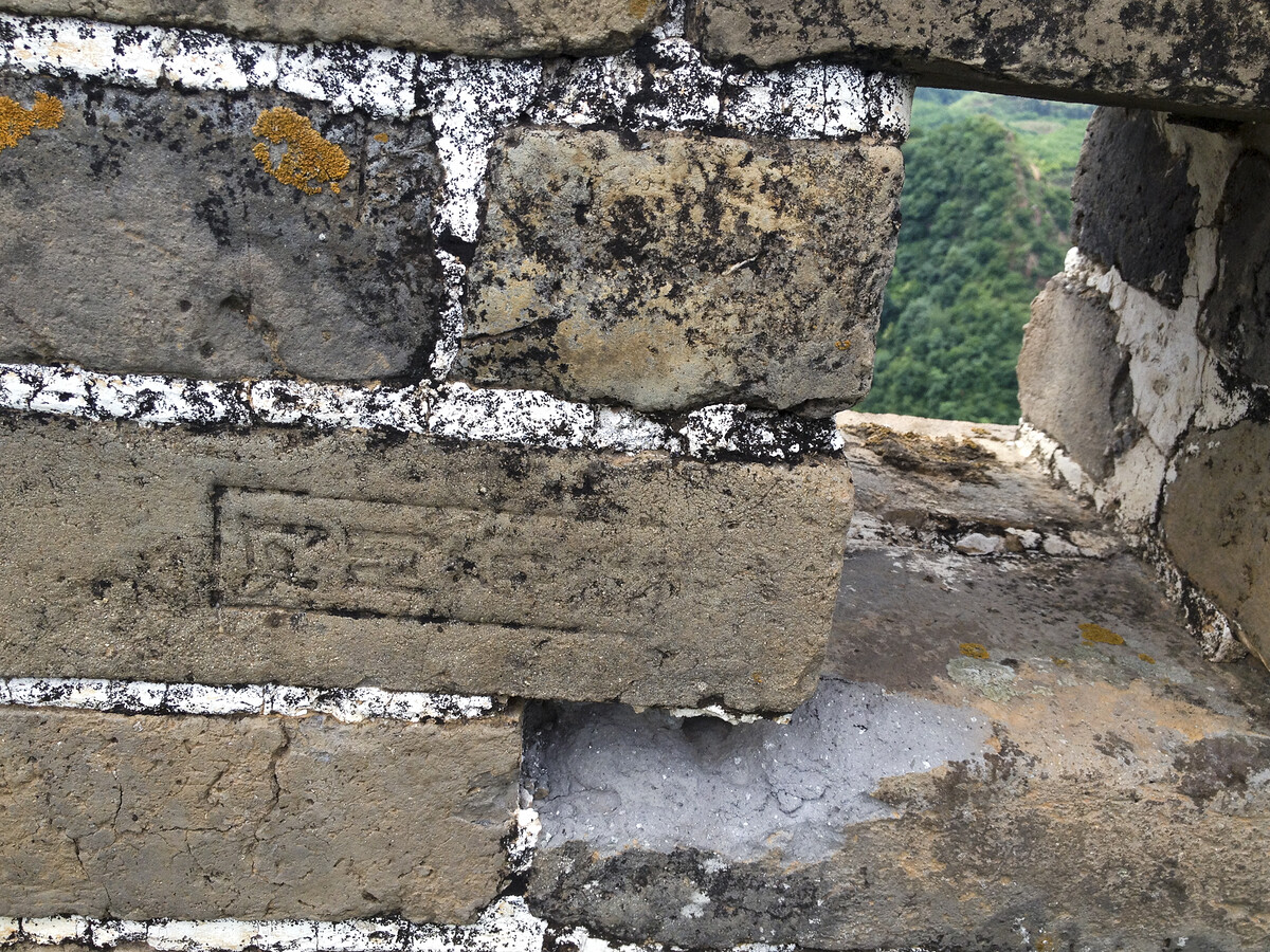
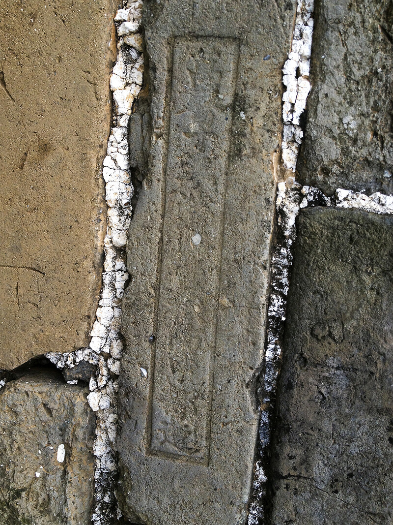
Stamps in bricks
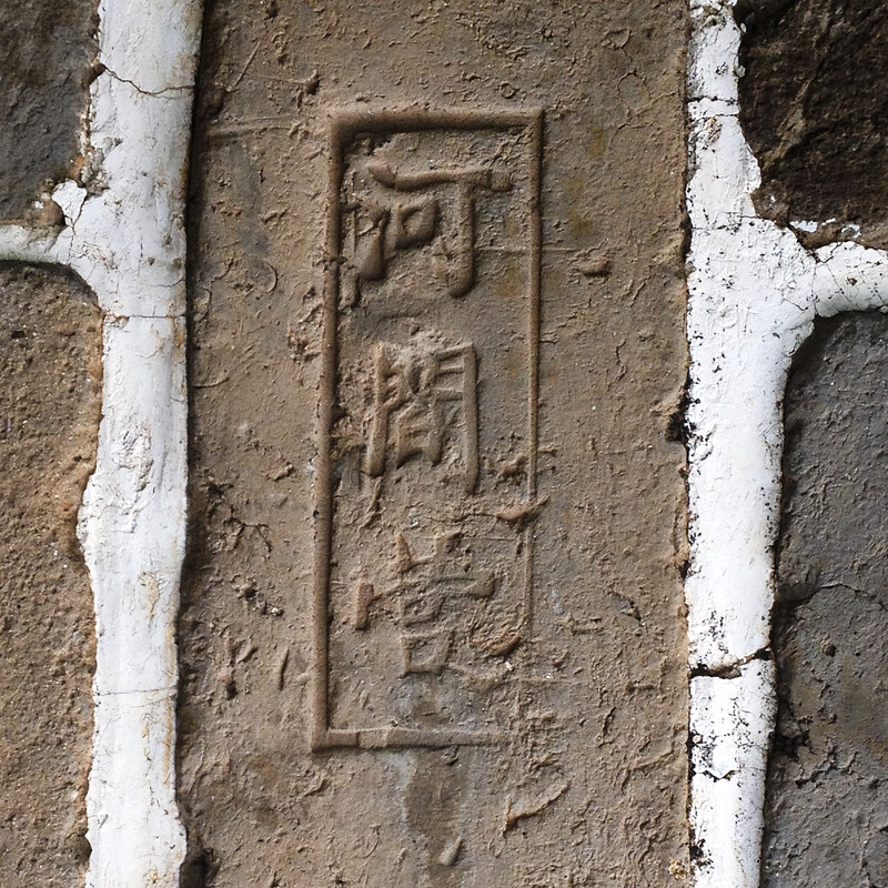
Bricks were stamped before firing as a sort of Maker’s Mark, for quality control. Sometimes the stamps include information that can be used to date them.
Many of the stamps around Qiangzilu say Héjiān Yíng / 河間营, which means Hejian Camp.
![A Great Wall brick stamped with He Jian Ying [something - maybe zao]](https://files.opie-etc.com/assets/2026/05/05-Qiangzilu-stamps_IMG_2739_800.jpg)



Notes and info
Beijing Hikers very occasionally does hikes at Qiangzilu. Here’s the trail description I wrote for the reworked 2025 version of the Qiangzilu ‘Bricks in the Wall’ hike, and here’s the older version.
Names of places
Qiángzǐlù / 墙子路 / Qiangzi Route or Qiangzi Corridor
Qiángzǐlù Chángchéng / 墙子路长城 / Qiangzi Route Great Wall
Guānshàng Chéngbǎo / 关上城堡 / Guanshang Fort, ‘the fort on the pass’
Maps
Qiangzilu location
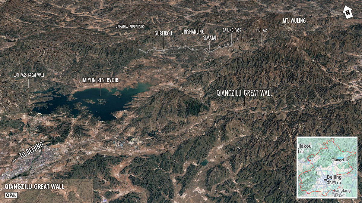
Qiangzilu Great Wall area overview
To-do
- Hike further along the wall to the north of the big V.
- Hike further along the wall to the south of the fort.
- Get some more summer photos.
Sponsor-presented message:
This post is presented by Howlers Turkey Farm. Howlers Turkey Farm … not just turkey you can eat—it’s family.